MyTopo
Classic USGS Arroyo Cuervo New Mexico 7.5'x7.5' Topo Map
Couldn't load pickup availability
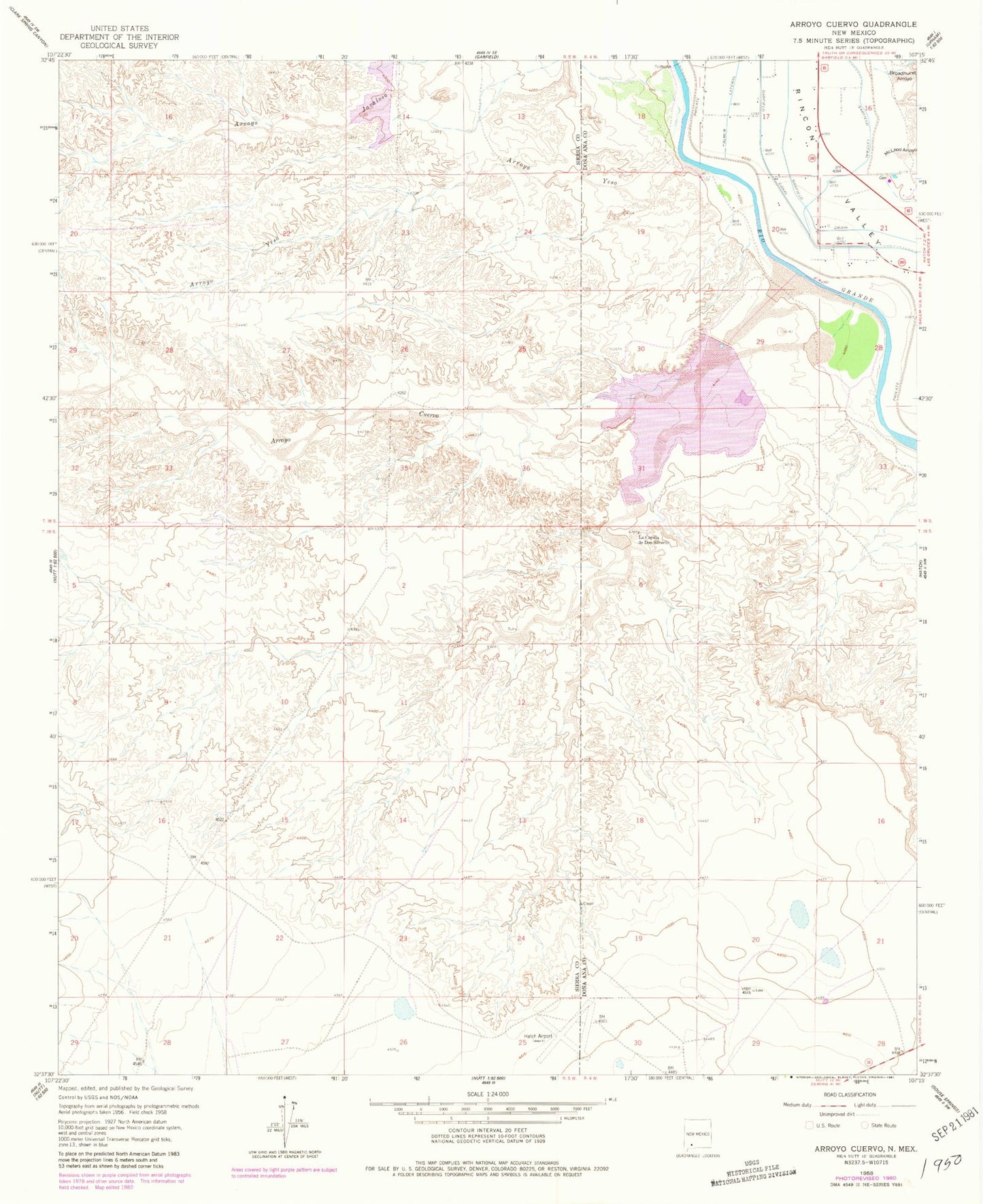
Historical USGS topographic quad map of Arroyo Cuervo in the state of New Mexico. Map scale may vary for some years, but is generally around 1:24,000. Print size is approximately 24" x 27"
This quadrangle is in the following counties: Do��a Ana, Sierra.
The map contains contour lines, roads, rivers, towns, and lakes. Printed on high-quality waterproof paper with UV fade-resistant inks, and shipped rolled.
Contains the following named places: AC-1 Water Well, Arroyo Cuervo, Arroyo Montoya, Arroyo Yeso, Broadhurst Arroyo, Crow Broad Placitas Site 2a Dam, Garfield Canal, Garfield Drain, Garfield Lateral, La Capilla de Don Silverio, McLead Flood Control Project Dam, McLeod Arroyo, Oak Canyon, USBR 9 Water Well