MyTopo
Classic USGS Arroyo Empedrado New Mexico 7.5'x7.5' Topo Map
Regular price
$16.95
Regular price
Sale price
$16.95
Unit price
per
Couldn't load pickup availability
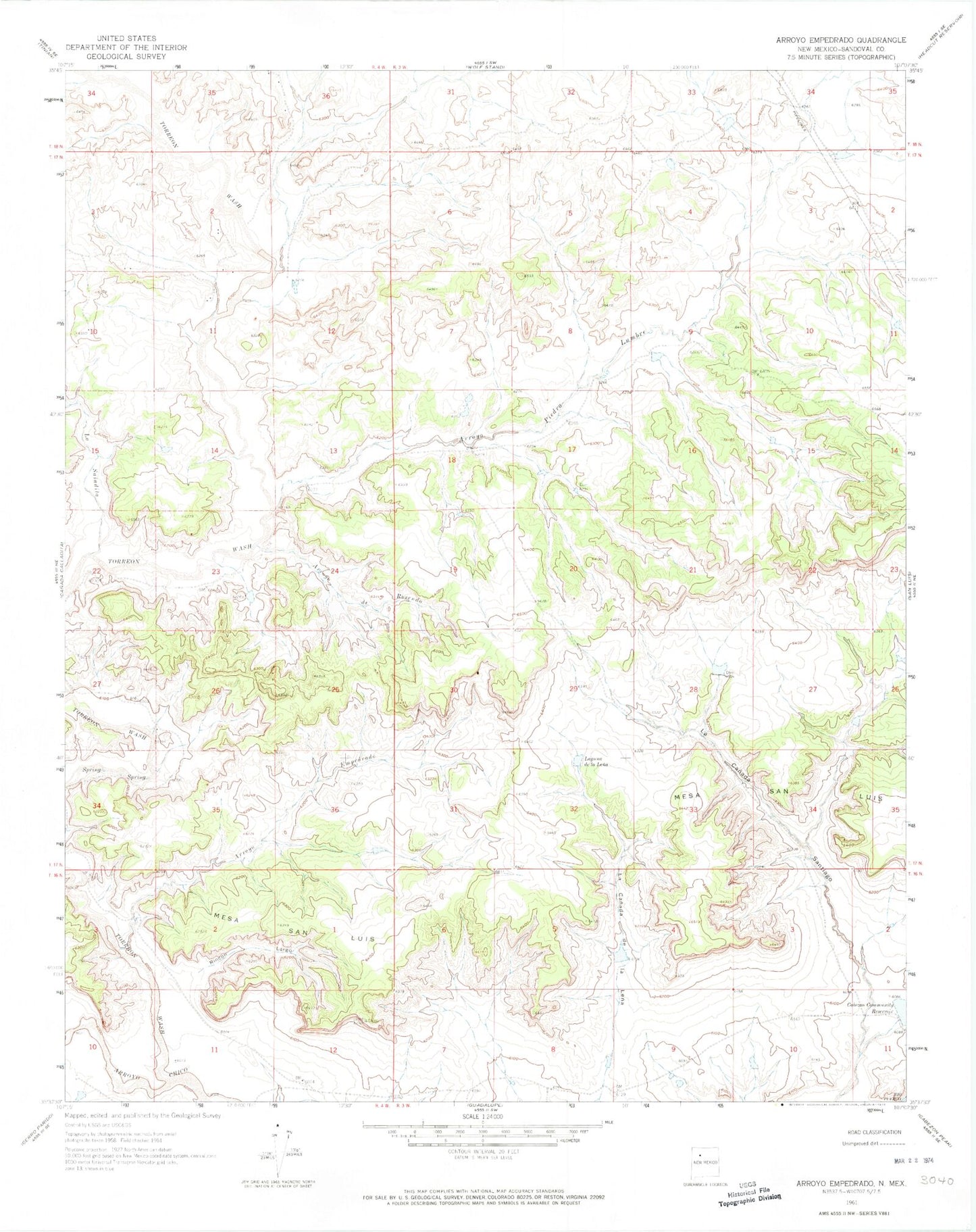
Historical USGS topographic quad map of Arroyo Empedrado in the state of New Mexico. Map scale may vary for some years, but is generally around 1:24,000. Print size is approximately 24" x 27"
This quadrangle is in the following counties: Sandoval.
The map contains contour lines, roads, rivers, towns, and lakes. Printed on high-quality waterproof paper with UV fade-resistant inks, and shipped rolled.
Contains the following named places: Arroyo de Rosendo, Arroyo Empedrado, Arroyo Piedra Lumbre, Cabezon Community Reservoir, Empedrado Wilderness Study Area, La Lena Wilderness Study Area, La Saladita, Laguna de la Lena, R-33 Water Well, R-43 Water Well, Rincon Largo, Torreon Wash