MyTopo
Classic USGS Arroyo Tapiado California 7.5'x7.5' Topo Map
Couldn't load pickup availability
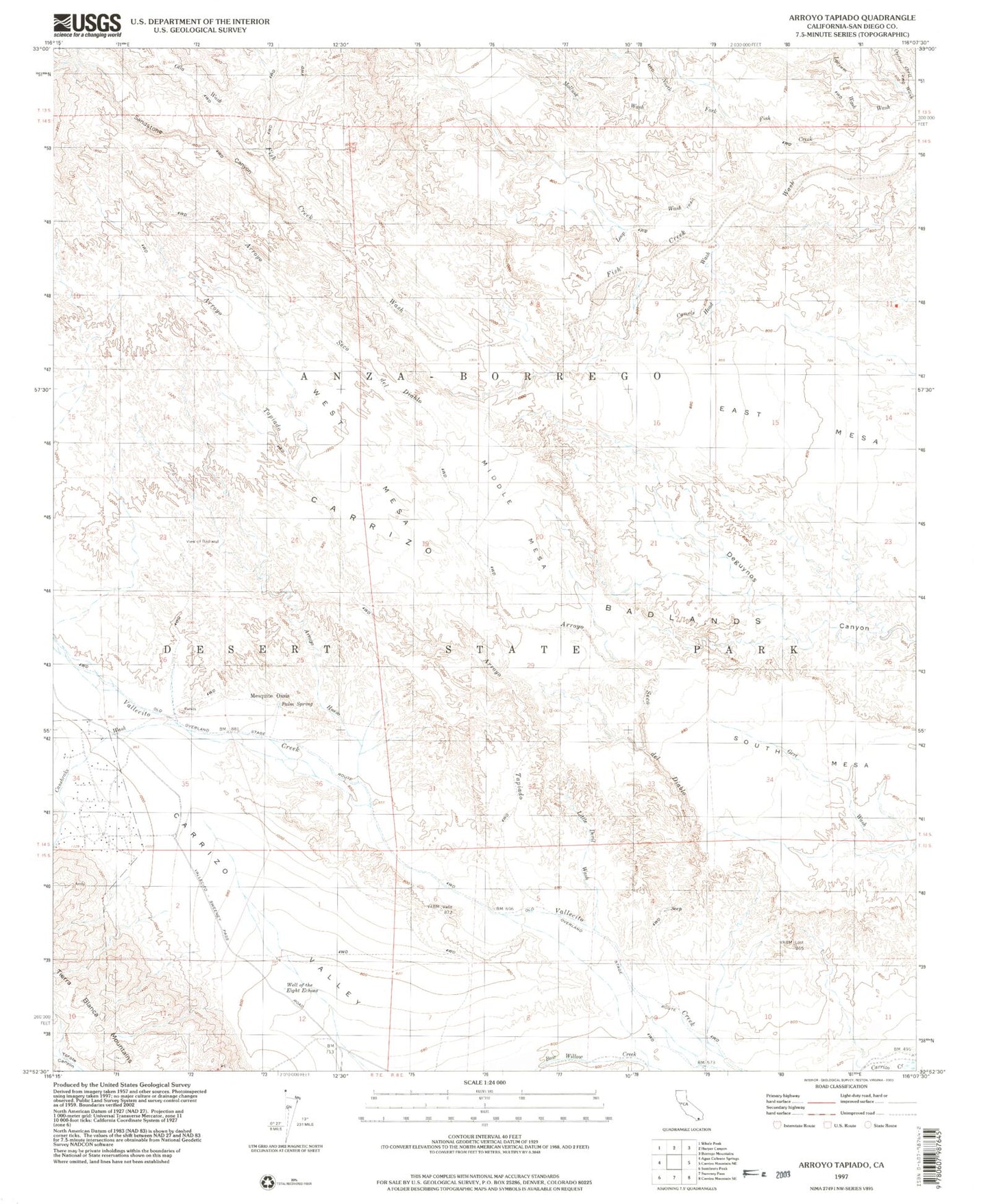
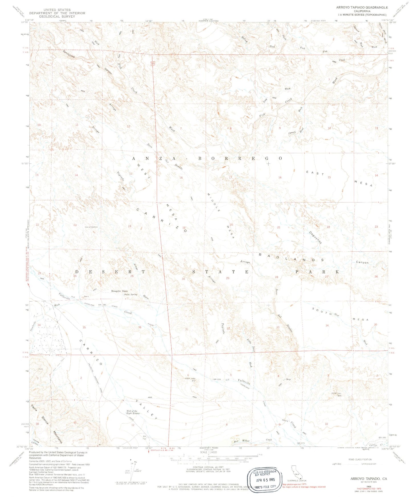
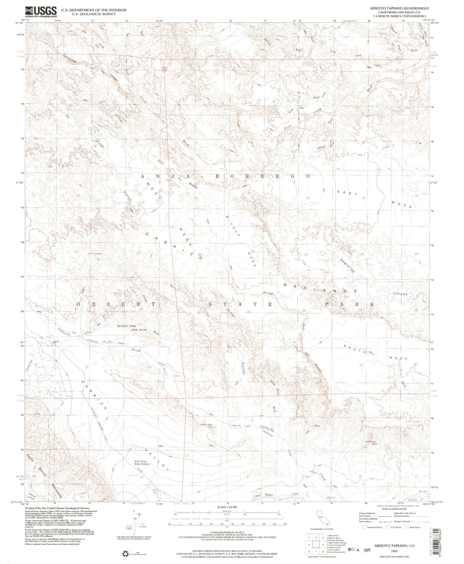
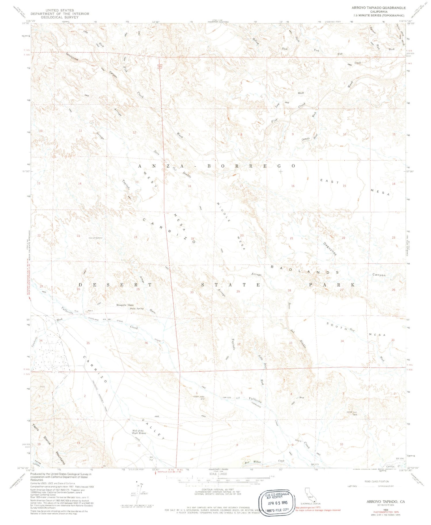
Historical USGS topographic quad map of Arroyo Tapiado in the state of California. Typical map scale is 1:24,000, but may vary for certain years, if available. Print size: 24" x 27"
This quadrangle is in the following counties: San Diego.
The map contains contour lines, roads, rivers, towns, and lakes. Printed on high-quality waterproof paper with UV fade-resistant inks, and shipped rolled.
Contains the following named places: Old Overland Stage Route, Arroyo Hueso, Arroyo Seco Del Diablo, Arroyo Tapiado, Camels Head Wash, Canebrake Wash, Little Devil Wash, Loop Wash, Lycium Wash, Mollusk Wash, Olla Wash, Oyster Shell Wash, Palm Spring, Sandstone Canyon, View of Badland, Well of the Eight Echoes, East Mesa, Mesquite Oasis, Middle Mesa, South Mesa, West Mesa, Southern Overland Trail Cultural Preserve