MyTopo
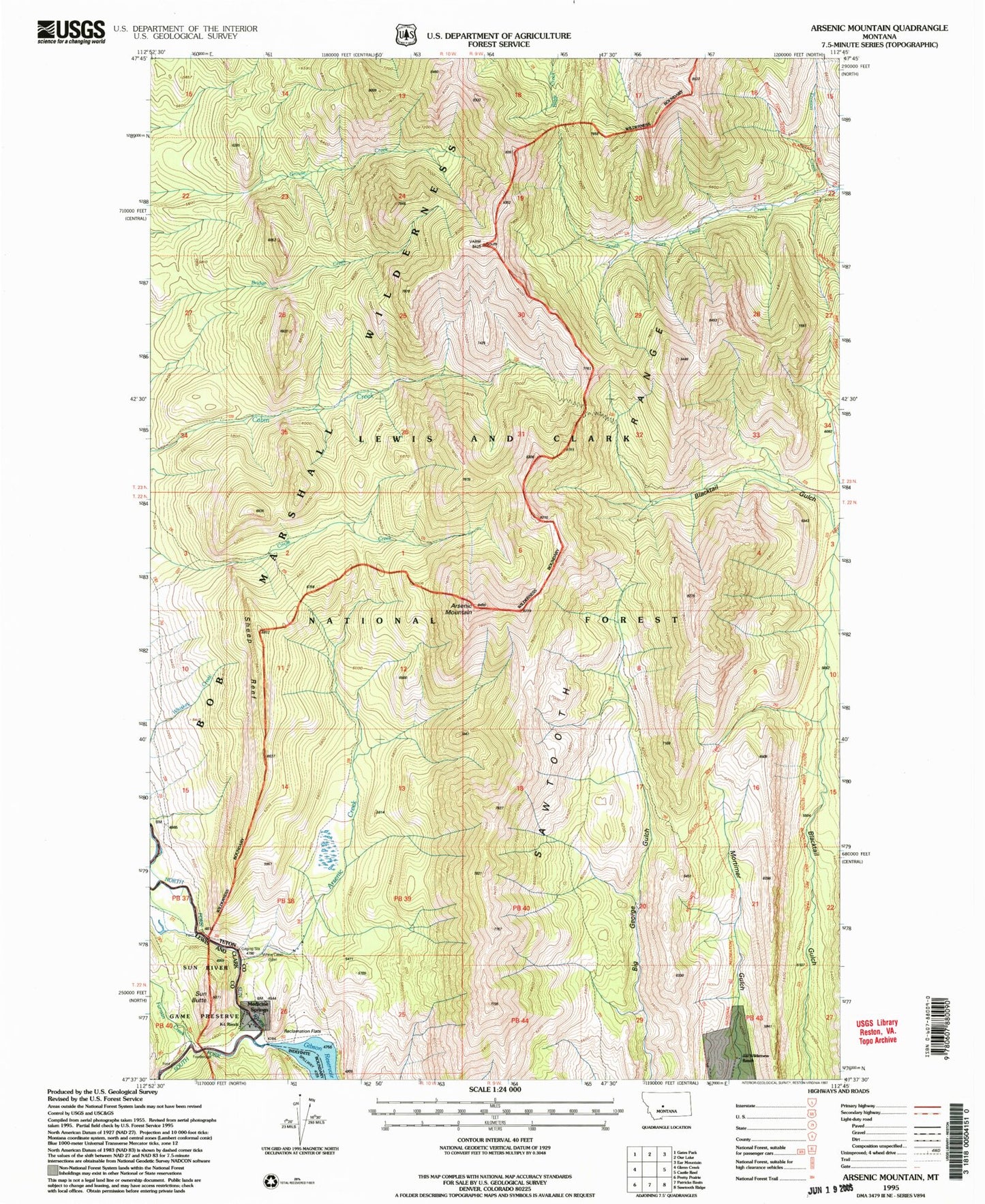
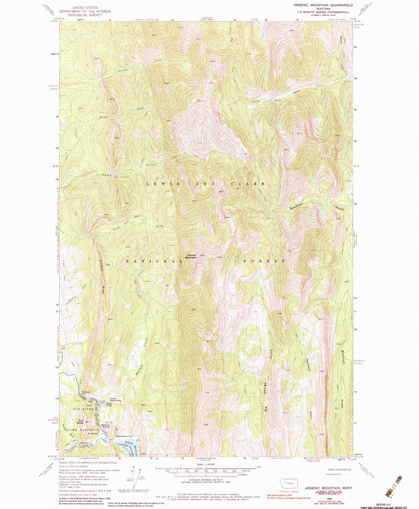
Classic USGS Arsenic Mountain Montana 7.5'x7.5' Topo Map
Couldn't load pickup availability
Historical USGS topographic quad map of Arsenic Mountain in the state of Montana. Typical map scale is 1:24,000, but may vary for certain years, if available. Print size: 24" x 27"
This quadrangle is in the following counties: Lewis and Clark, Teton.
The map contains contour lines, roads, rivers, towns, and lakes. Printed on high-quality waterproof paper with UV fade-resistant inks, and shipped rolled.
Contains the following named places: Sheep Reef, Arsenic Creek, Arsenic Mountain, Medicine Springs, Reclamation Flats, Sorrell Guest Resort, The Bars, White Cabin, South Fork Teton-Blacktail National Recreation Trail, Mortimer Gulch National Recreation Trail, Klicks Resort, JJJ Wilderness Ranch, Furman Creek, K L Ranch, South Fork Sun River, Sun Butte