MyTopo
Classic USGS Arthur North Dakota 7.5'x7.5' Topo Map
Couldn't load pickup availability
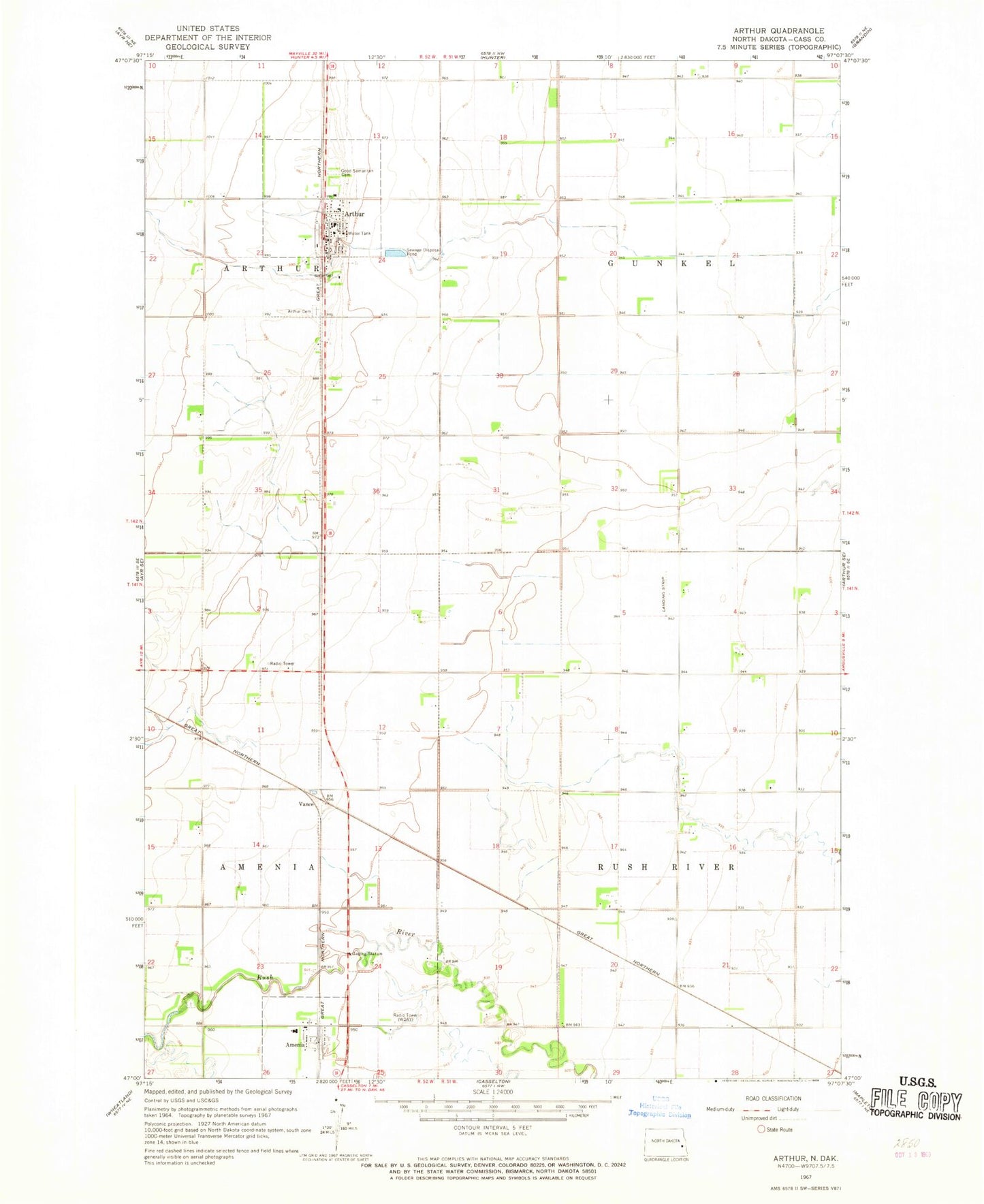
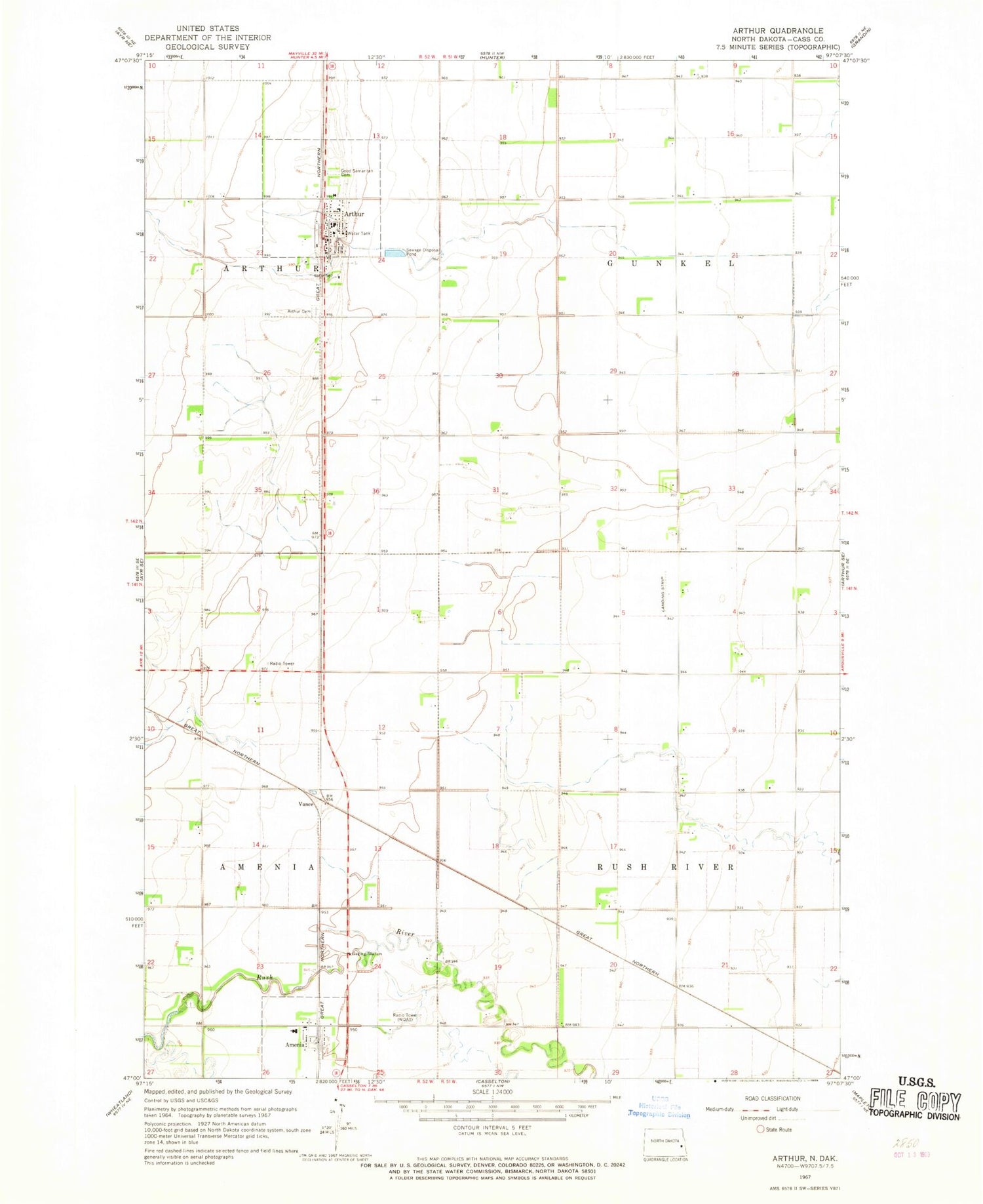
Historical USGS topographic quad map of Arthur in the state of North Dakota. Map scale may vary for some years, but is generally around 1:24,000. Print size is approximately 24" x 27"
This quadrangle is in the following counties: Cass.
The map contains contour lines, roads, rivers, towns, and lakes. Printed on high-quality waterproof paper with UV fade-resistant inks, and shipped rolled.
Contains the following named places: Amenia, Amenia Cemetery, Arthur, Arthur Airport, Arthur Cemetery, Arthur City Hall, Arthur Community Hall, Arthur Post Office, Arthur Rural Fire Protection District Station, City of Amenia, City of Arthur, Good Samaritan Cemetery, Good Samaritan Society-Arthur, KDSU-FM (Fargo), KFME-TV (Fargo), Nelson Airport, Smith Private Airport, Township of Gunkel, Township of Rush River, Turner Field, Vance, WDAY-FM (Fargo), WDAY-TV (Fargo), ZIP Code: 58006