MyTopo
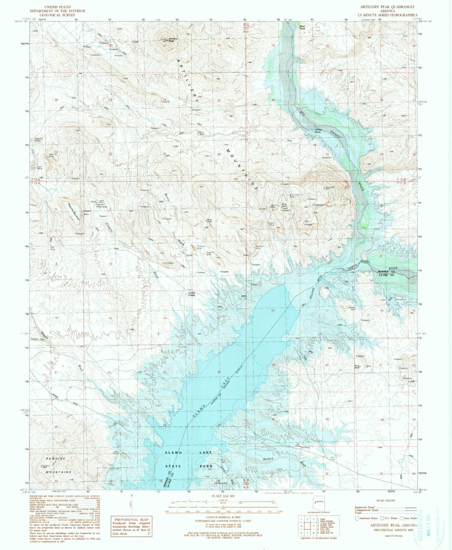
Classic USGS Artillery Peak Arizona 7.5'x7.5' Topo Map
Couldn't load pickup availability
Historical USGS topographic quad map of Artillery Peak in the state of Arizona. Typical map scale is 1:24,000, but may vary for certain years, if available. Print size: 24" x 27"
This quadrangle is in the following counties: La Paz, Mohave.
The map contains contour lines, roads, rivers, towns, and lakes. Printed on high-quality waterproof paper with UV fade-resistant inks, and shipped rolled.
Contains the following named places: Alamo Lake, American Mine, Artillery Mountains, Artillery Peak, Big Sandy River, Black Diamond Mine, Bullard Wash, Burro Wash, Chapin Wash, Lake Mine, Loves Camp, Loves Mine, Neeye Mine, Plancha Mountain, Priceless Mine, Rawhide Wash, Maggie Wash, White Rock, Alamo Wildlife Area, Browns Crossing (historical), Alamo Crossing (historical), Santa Maria River, Alamo Lake Census Designated Place