MyTopo
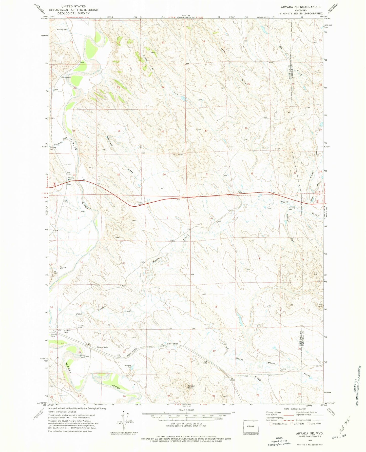
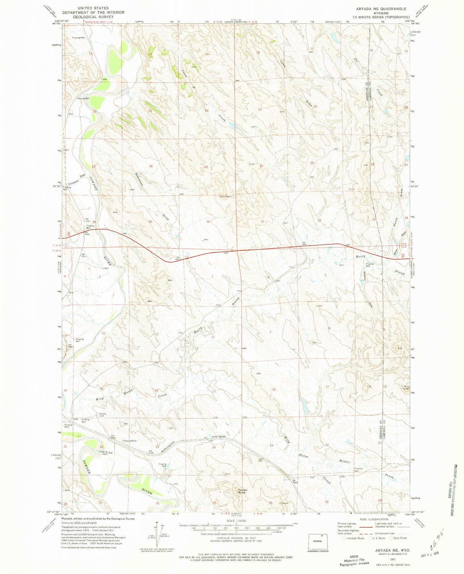
Classic USGS Arvada NE Wyoming 7.5'x7.5' Topo Map
Couldn't load pickup availability
Historical USGS topographic quad map of Arvada NE in the state of Wyoming. Map scale may vary for some years, but is generally around 1:24,000. Print size is approximately 24" x 27"
This quadrangle is in the following counties: Campbell, Sheridan.
The map contains contour lines, roads, rivers, towns, and lakes. Printed on high-quality waterproof paper with UV fade-resistant inks, and shipped rolled.
Contains the following named places: Arvada Cemetery, Campbell Draw, Deadman Creek, Joe Creek Dam, Joe Creek Reservoir, Middle Prong Wild Horse Creek, North Draw, North Prong Wild Horse Creek, Okeson Dam, Okeson Draw, Oliver Draw, Robinson Dam, Robinson Draw, Robinson Reservoir, Suranyi Reservoir, Tincom Butte, Wild Horse Mine, Wild Horse Strip Mine