MyTopo
Classic USGS Arvilla North Dakota 7.5'x7.5' Topo Map
Couldn't load pickup availability
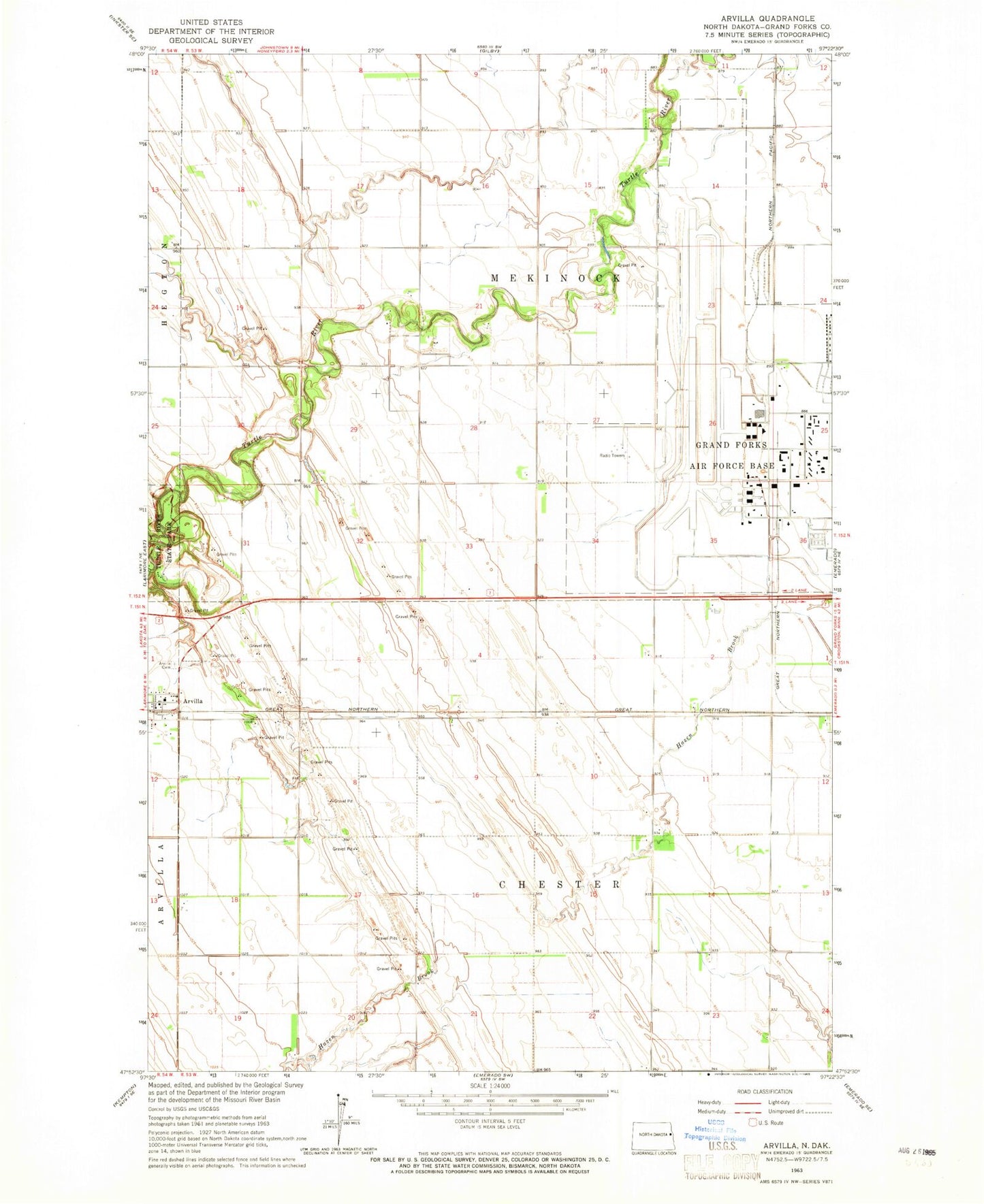
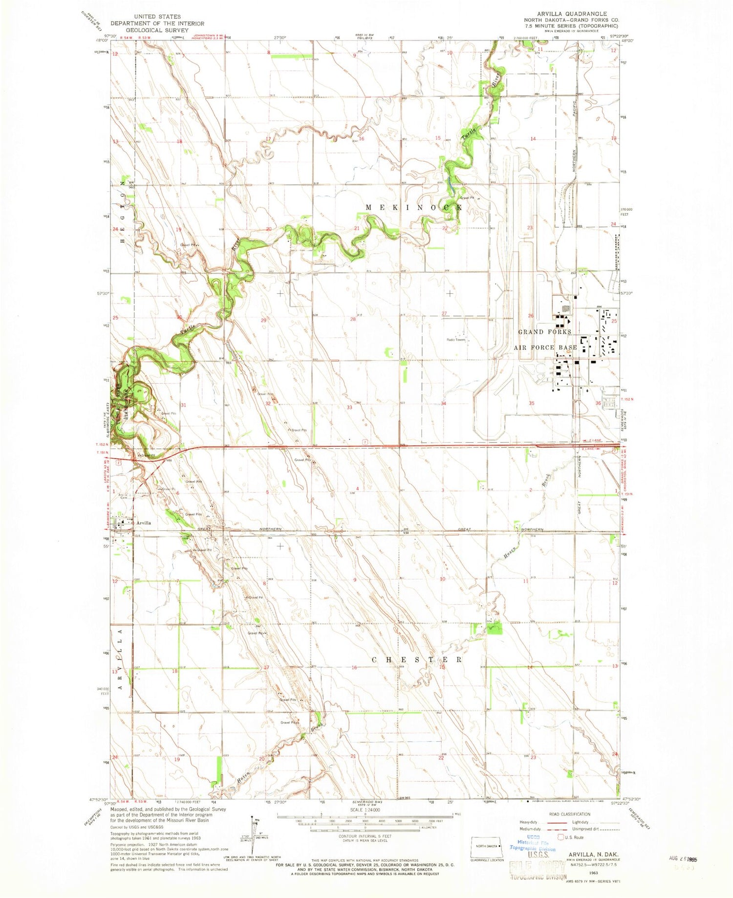
Historical USGS topographic quad map of Arvilla in the state of North Dakota. Typical map scale is 1:24,000, but may vary for certain years, if available. Print size: 24" x 27"
This quadrangle is in the following counties: Grand Forks.
The map contains contour lines, roads, rivers, towns, and lakes. Printed on high-quality waterproof paper with UV fade-resistant inks, and shipped rolled.
Contains the following named places: Arvilla, Arvilla Cemetery, Grand Forks County, Township of Chester (historical), Township of Chester, Township of Mekinock, Grand Forks Air Force Base Census Designated Place, Grand Forks Air Force Base, Frokjer Airport, Arvilla Post Office, Arvilla Community Center, Grand Forks AFB Post Office