MyTopo
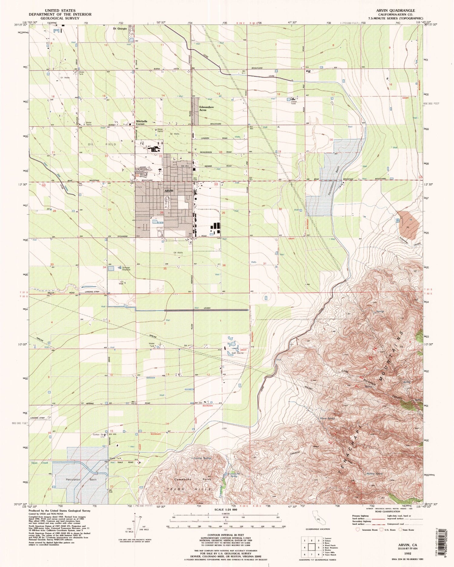
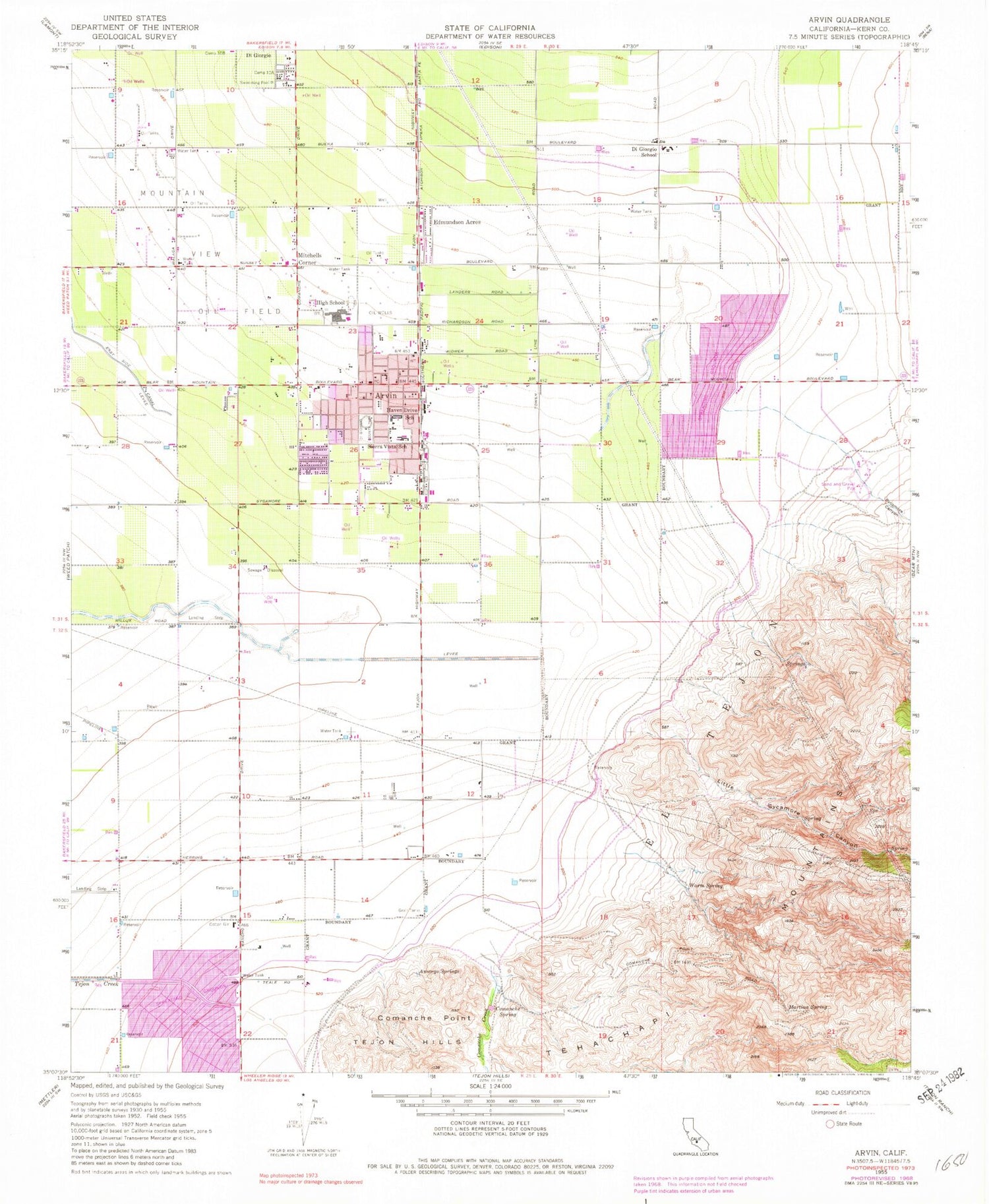
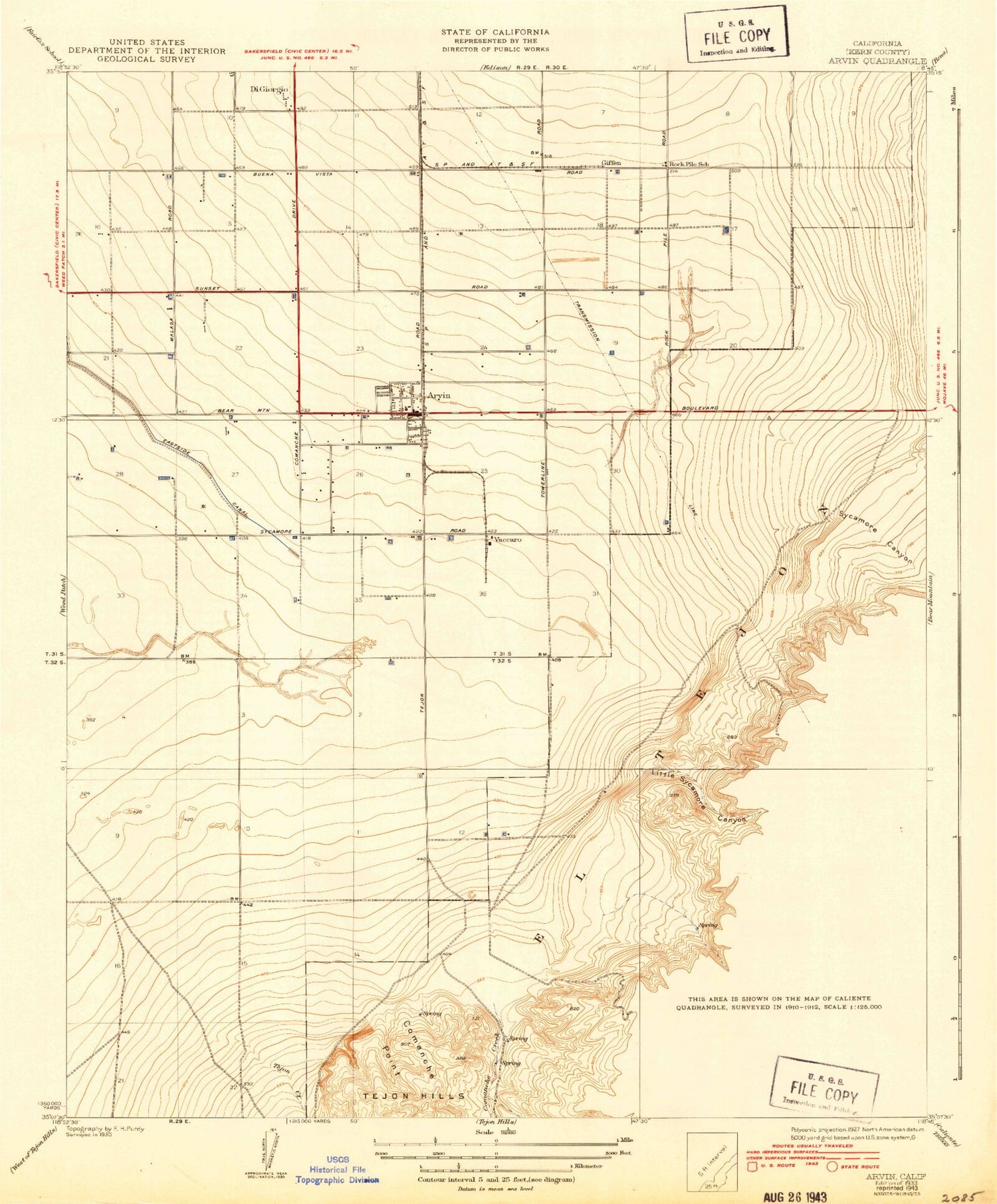
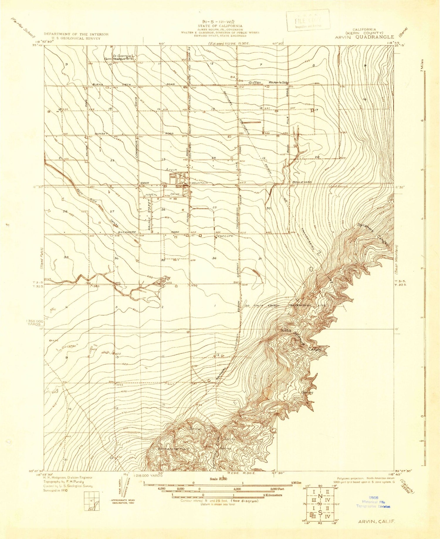
Classic USGS Arvin California 7.5'x7.5' Topo Map
Couldn't load pickup availability
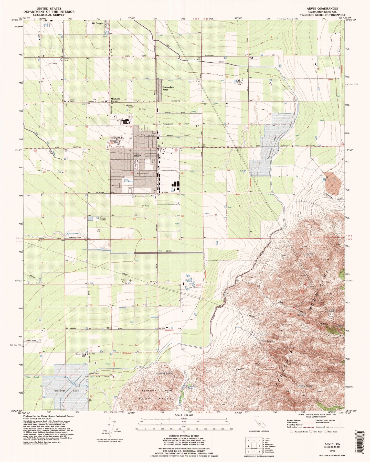
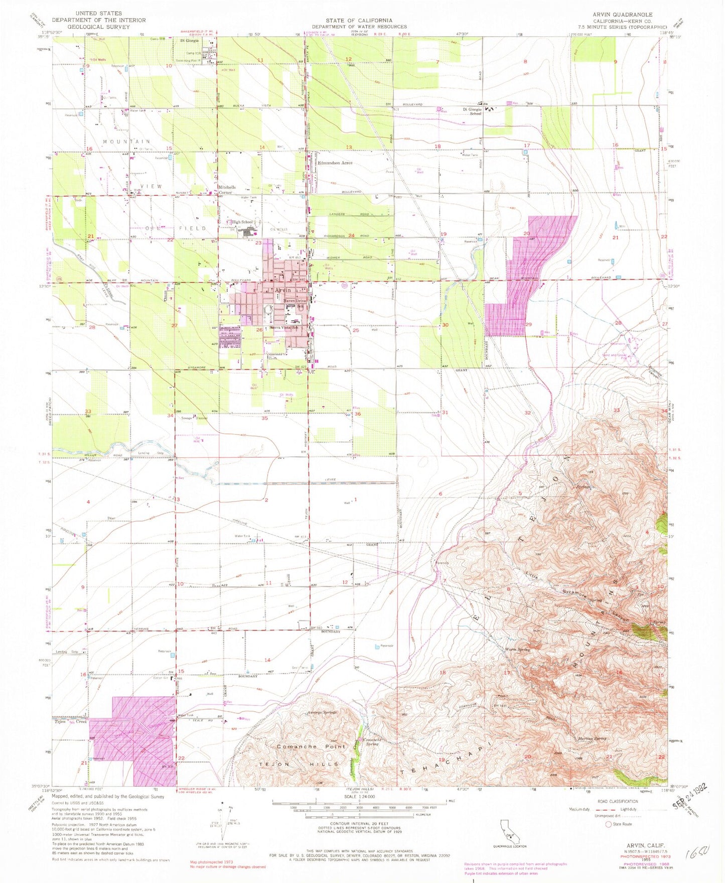
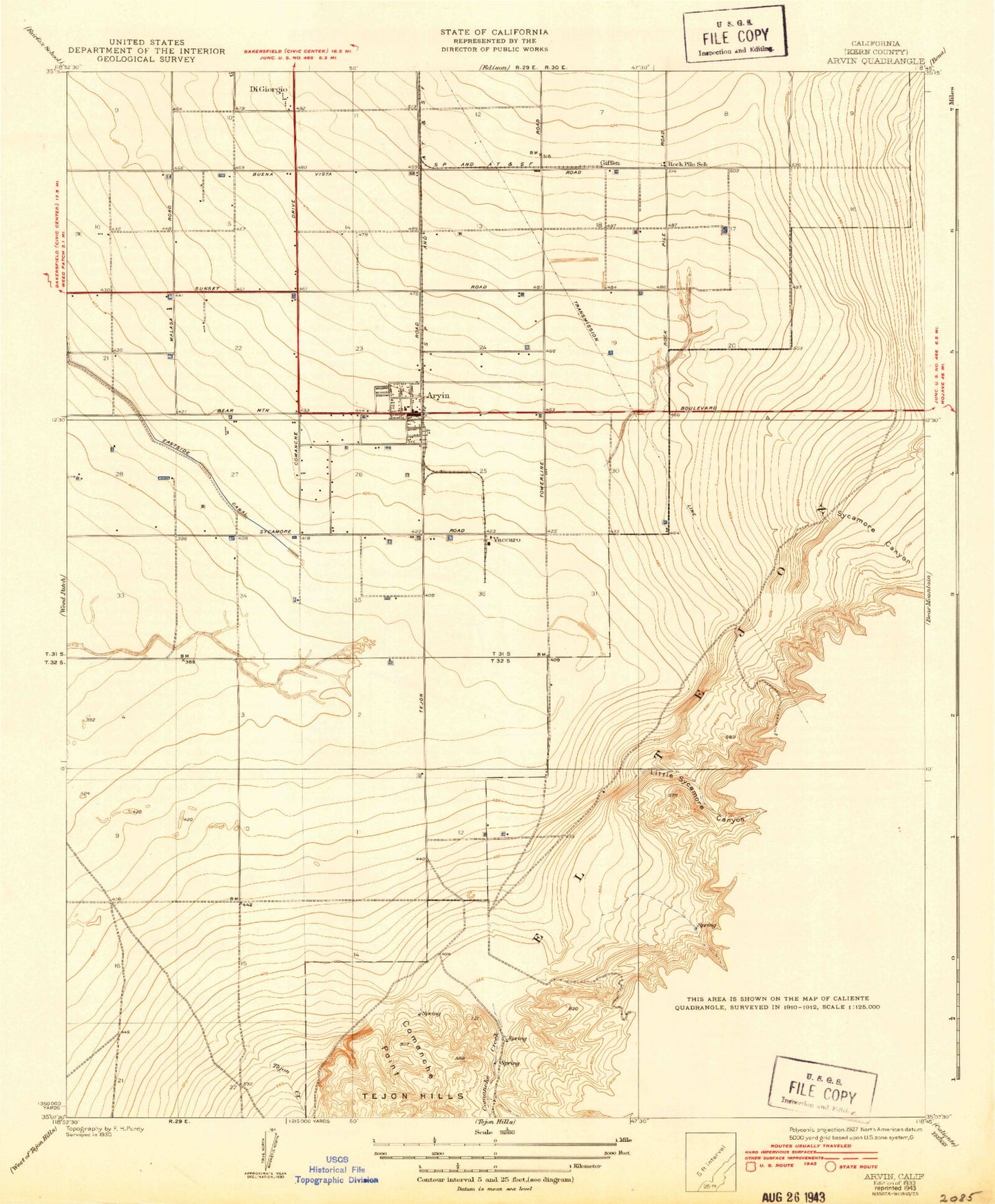
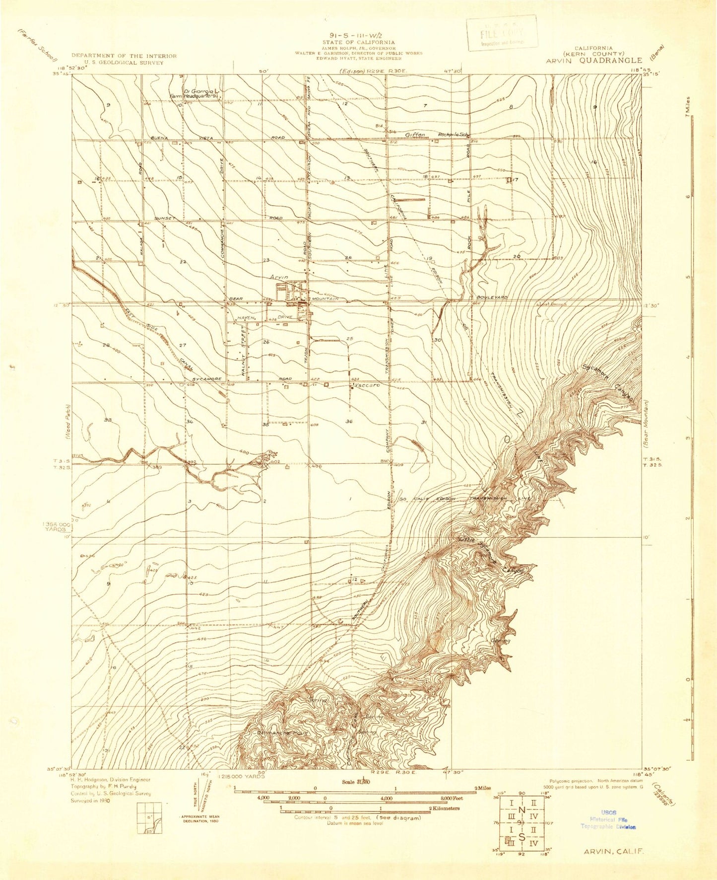
Historical USGS topographic quad map of Arvin in the state of California. Map scale may vary for some years, but is generally around 1:24,000. Print size is approximately 24" x 27"
This quadrangle is in the following counties: Kern.
The map contains contour lines, roads, rivers, towns, and lakes. Printed on high-quality waterproof paper with UV fade-resistant inks, and shipped rolled.
Contains the following named places: Amargo Springs, Arvin, Arvin Branch Kern County Library, Arvin City Hall, Arvin High School, Arvin Little League Field, Arvin Mobile Home Estates, Arvin Post Office, Arvin Wesleyan Church, Assembly of God Church of Arvin, Bear Mountain Elementary School, Bright Hope Baptist Church, Calvary Church of God in Christ, Church of the Nazarene, City of Arvin, Comanche Creek, Comanche Point, Comanche Spring, Di Giorgio Census Designated Place, Di Giorgio County Park, DiGiorgio Elementary School, Edmundson Acres, Edmundson Acres Census Designated Place, Gospel Tabernacle of Arvin, Haven Drive Middle School, J and J Crop Dusters Incorporated Airport, Kern County Building, Kern County Fire Department Station 54 Arvin, Kovacevich Park, Little Sycamore Canyon, Martina Spring, Mitchells Corner, Pentecostal Church of Arvin, Primera Iglesia Bautista, Rock Pile School, Saint Thomas Catholic Church, Sierra Vista Elementary School, Smothermon Park, Sycamore Canyon, Vaccaro, Veterans Building, Warm Spring
