
MyTopo
Classic USGS Asay Bench Utah 7.5'x7.5' Topo Map
Couldn't load pickup availability
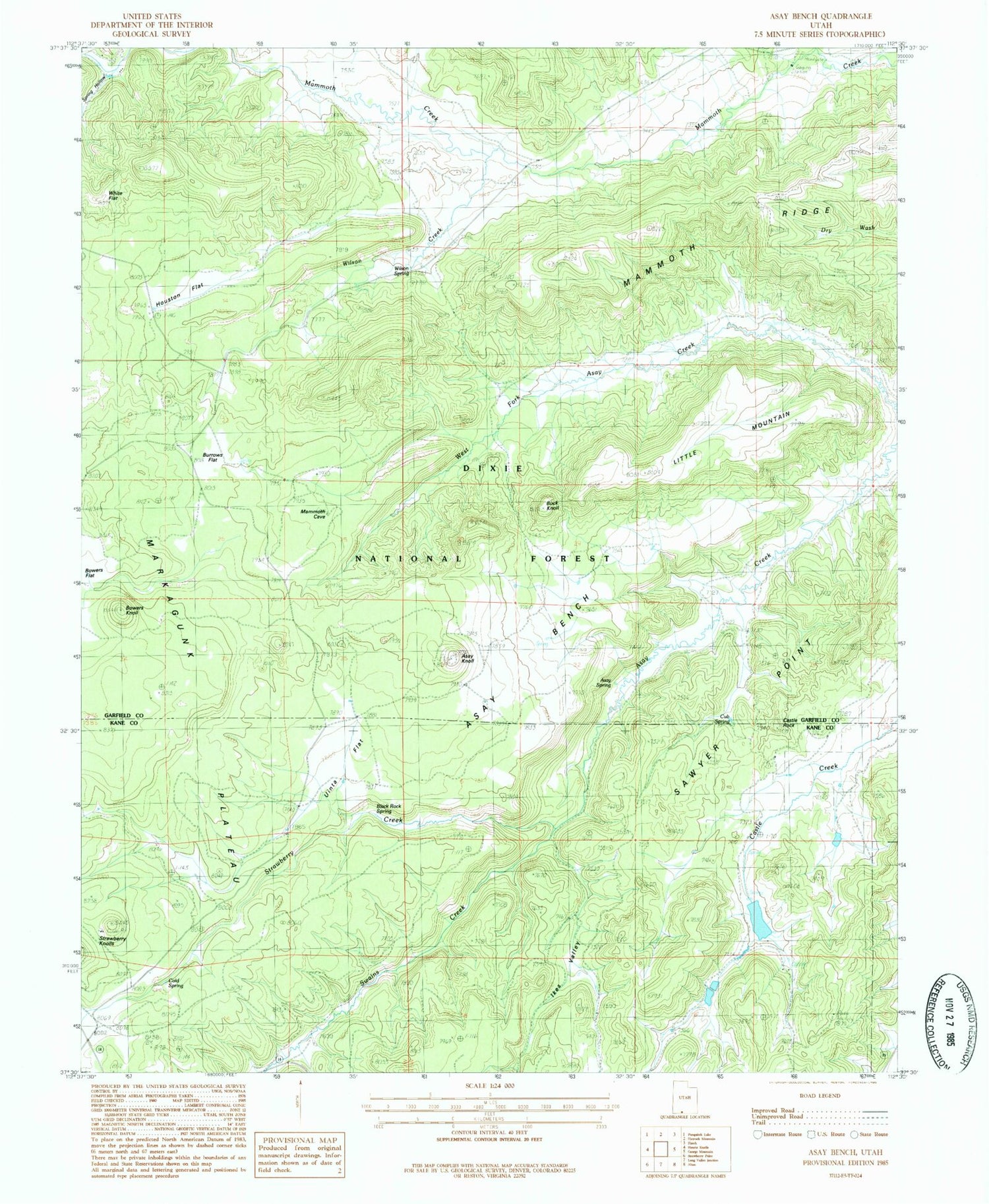
Historical USGS topographic quad map of Asay Bench in the state of Utah. Map scale may vary for some years, but is generally around 1:24,000. Print size is approximately 24" x 27"
This quadrangle is in the following counties: Garfield, Kane.
The map contains contour lines, roads, rivers, towns, and lakes. Printed on high-quality waterproof paper with UV fade-resistant inks, and shipped rolled.
Contains the following named places: Asay Bench, Asay Knoll, Asay Spring, Black Rock Spring, Bowers Knoll, Buck Knoll, Burrows Flat, Castle Creek Dam, Castle Creek Reservoir, Castle Rock, Cold Spring, Cub Spring, Houston Flat, Ikes Valley, Little Mountain, Mammoth Ridge, McDonald Lake, McDonald Lake Dam, Sawyer Point, Spring Hollow, Strawberry Creek, Swains Creek, Uinta Flat, White Face, Wilson Creek, Wilson Spring


