MyTopo
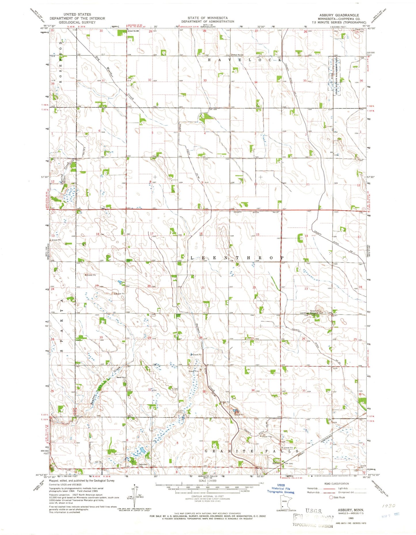
Classic USGS Asbury Minnesota 7.5'x7.5' Topo Map
Couldn't load pickup availability
Historical USGS topographic quad map of Asbury in the state of Minnesota. Map scale may vary for some years, but is generally around 1:24,000. Print size is approximately 24" x 27"
This quadrangle is in the following counties: Chippewa.
The map contains contour lines, roads, rivers, towns, and lakes. Printed on high-quality waterproof paper with UV fade-resistant inks, and shipped rolled.
Contains the following named places: Asbury, Boike State Wildlife Management Area, County Ditch Number Eleven, County Ditch Number Fiftyseven, County Ditch Number Sixty, County Ditch Number Sixtyeight, County Ditch Number Thirtyseven, KKRC-FM (Granite Falls), Leenthrop Memorial Cemetery, Palmer Creek Cemetery, Saron Cemetery, Saron Church, School Number 316, Swensson Cemetery, Swensson Farm Museum, Township of Leenthrop