MyTopo
Classic USGS Ash Creek Ranch Arizona 7.5'x7.5' Topo Map
Couldn't load pickup availability
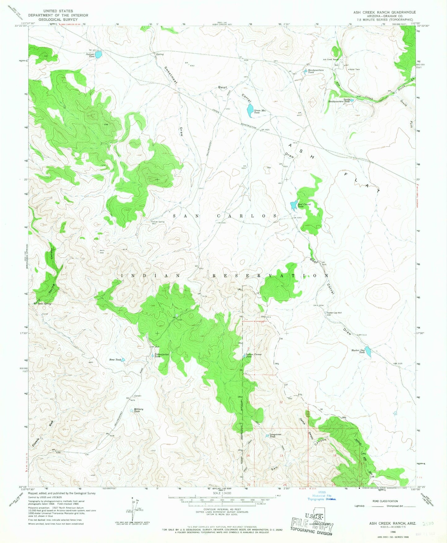
Historical USGS topographic quad map of Ash Creek Ranch in the state of Arizona. Map scale may vary for some years, but is generally around 1:24,000. Print size is approximately 24" x 27"
This quadrangle is in the following counties: Graham.
The map contains contour lines, roads, rivers, towns, and lakes. Printed on high-quality waterproof paper with UV fade-resistant inks, and shipped rolled.
Contains the following named places: Ash Creek Ranch, Beef Corral Dam, Beef Corral Draw, Beef Corral Tank, Bone Dam, Bone Spring, Bone Tank, Cactus Canyon, Green Mountain Dam, Green Mountain Tank, Headquarters Tank, Hooker Gap Tank, Hooker Gap Well, Indian Corner Tank, Indian Spring Well, Juniper Tank, Longstreet Tank, Military Tank, North Fork Ash Creek, South Fork Ash Creek, South Headquarters Tank, Sweet Meat Spring Dam, Yellowjacket Tank