MyTopo
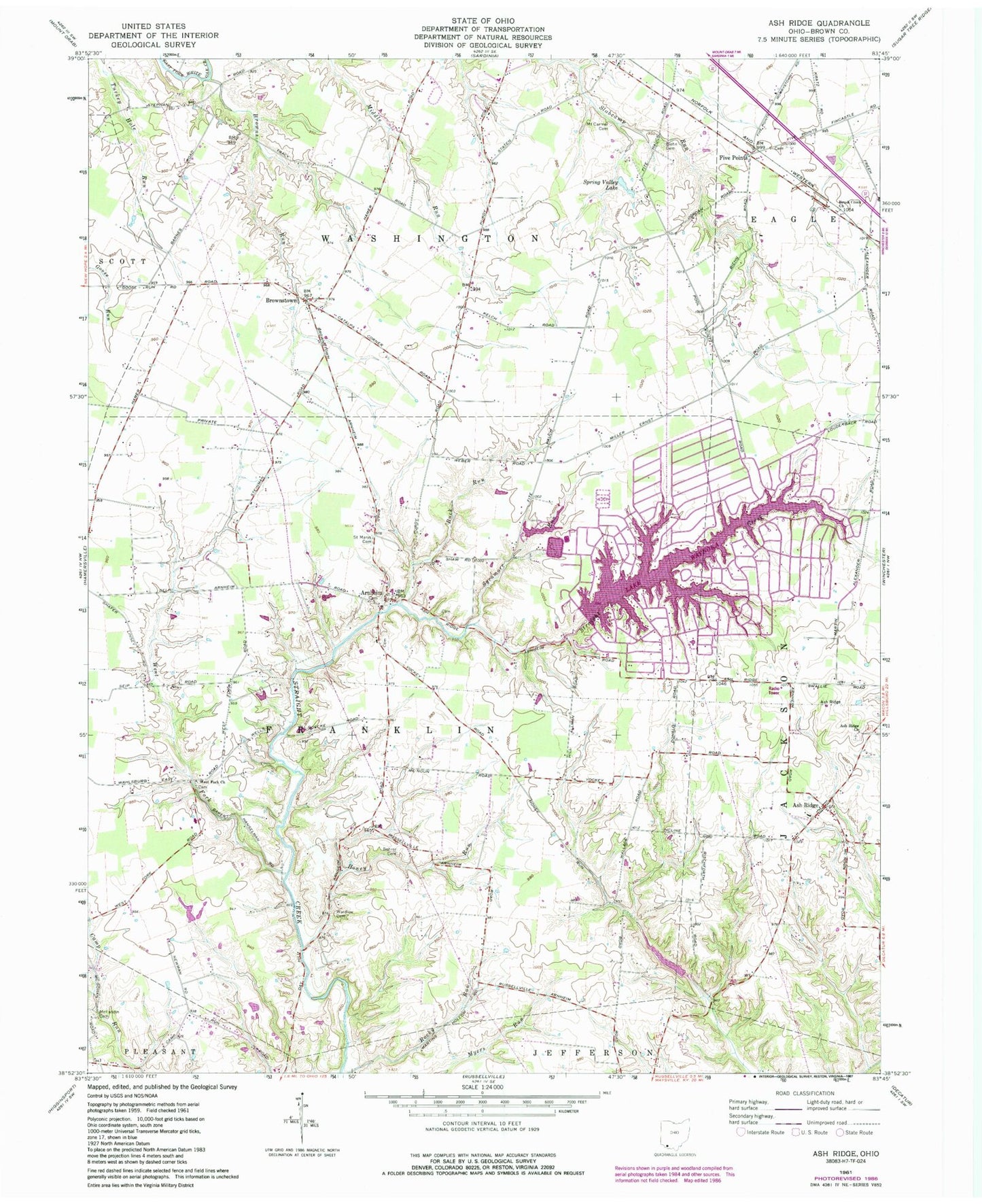
Classic USGS Ash Ridge Ohio 7.5'x7.5' Topo Map
Couldn't load pickup availability
Historical USGS topographic quad map of Ash Ridge in the state of Ohio. Map scale may vary for some years, but is generally around 1:24,000. Print size is approximately 24" x 27"
This quadrangle is in the following counties: Brown.
The map contains contour lines, roads, rivers, towns, and lakes. Printed on high-quality waterproof paper with UV fade-resistant inks, and shipped rolled.
Contains the following named places: Arnheim, Arnheim Cemetery, Arnheim Post Office, Ash Ridge, Ash Ridge Cemetery, Ash Ridge Church, Ash Ridge Elementary School, Ashridge Post Office, Biehn Cemetery, Bohrer Cemetery, Brown County, Browns Run, Brownstown, Browntown Post Office, Brush Creek Cemetery, Brush Creek Church, Buck Run, East Wahlsburg, Five Points, German Reformed Presbyterian Cemetery, Grange Hall School, Honey Run, Honey Run School, Iron Bridge School, Lake Waynoka, Lake Waynoka Census Designated Place, Lake Waynoka Dam, Lake Waynoka Retention Dam, Lake Waynoka Upground Reservoir, Lake Waynoka Upground Reservoir Dam, Lake Waynoka Water Supply Reservoir, McFadden School, McFaddin Cemetery, Methodist African American Cemetery, Mount Carmel Cemetery, Newlight Church, Pindell School, Pleasant Hill School, Russellville Watersupply Reservoir, Russellville Watersupply Reservoir Dam, Saint Marys Cemetery, School Number 2, School Number 3, School Number 4, School Number 5, School Number 9, Shaw School, Sinai School, Slabcamp School, Spring Valley Lake, Straight Creek Baptist Cemetery, Sycamore Run, Township of Franklin, Township of Washington, Wardlow Cemetery, West Arnheim, West Fork Cemetery, West Fork Church, West Fork Straight Creek


