MyTopo
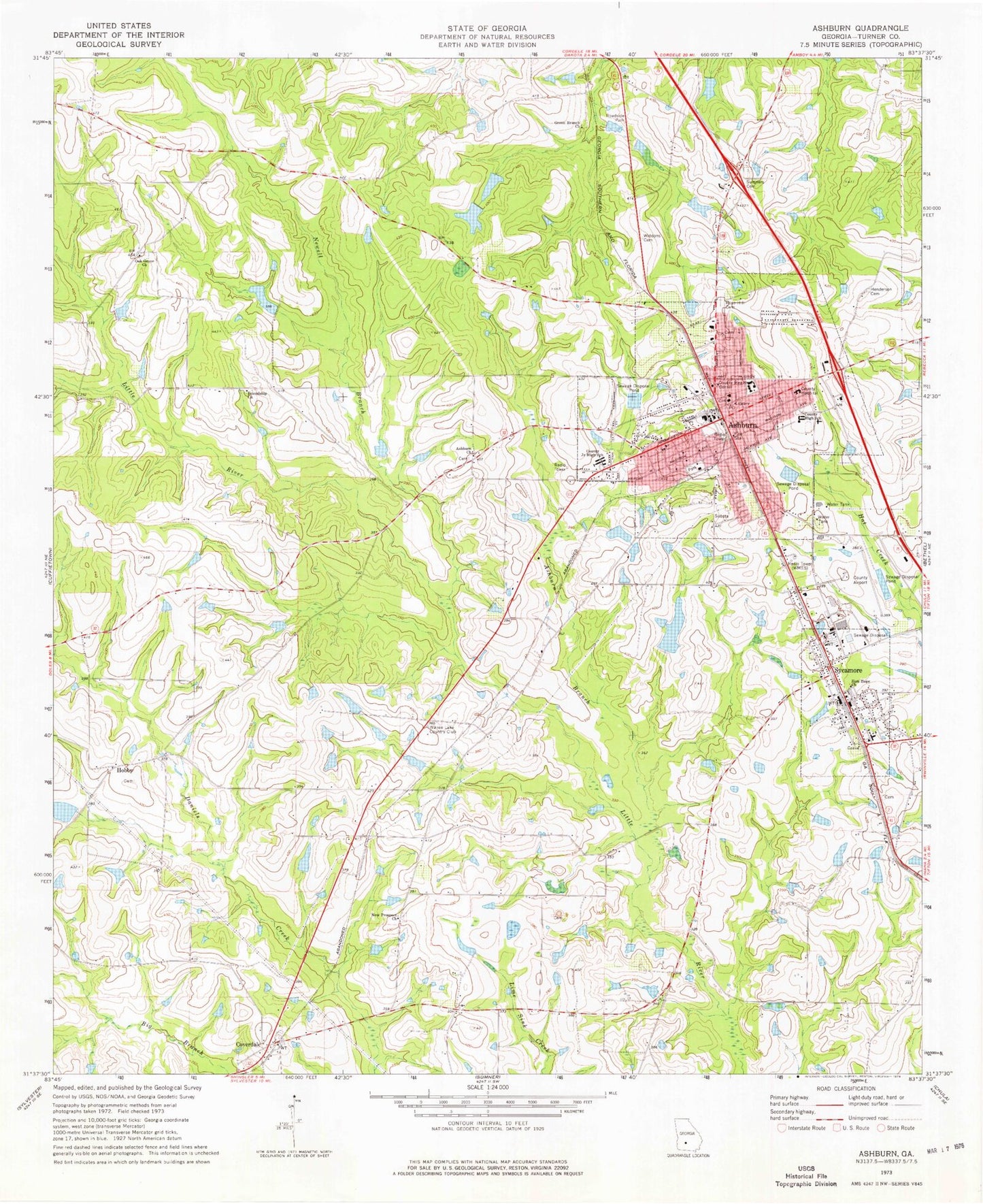
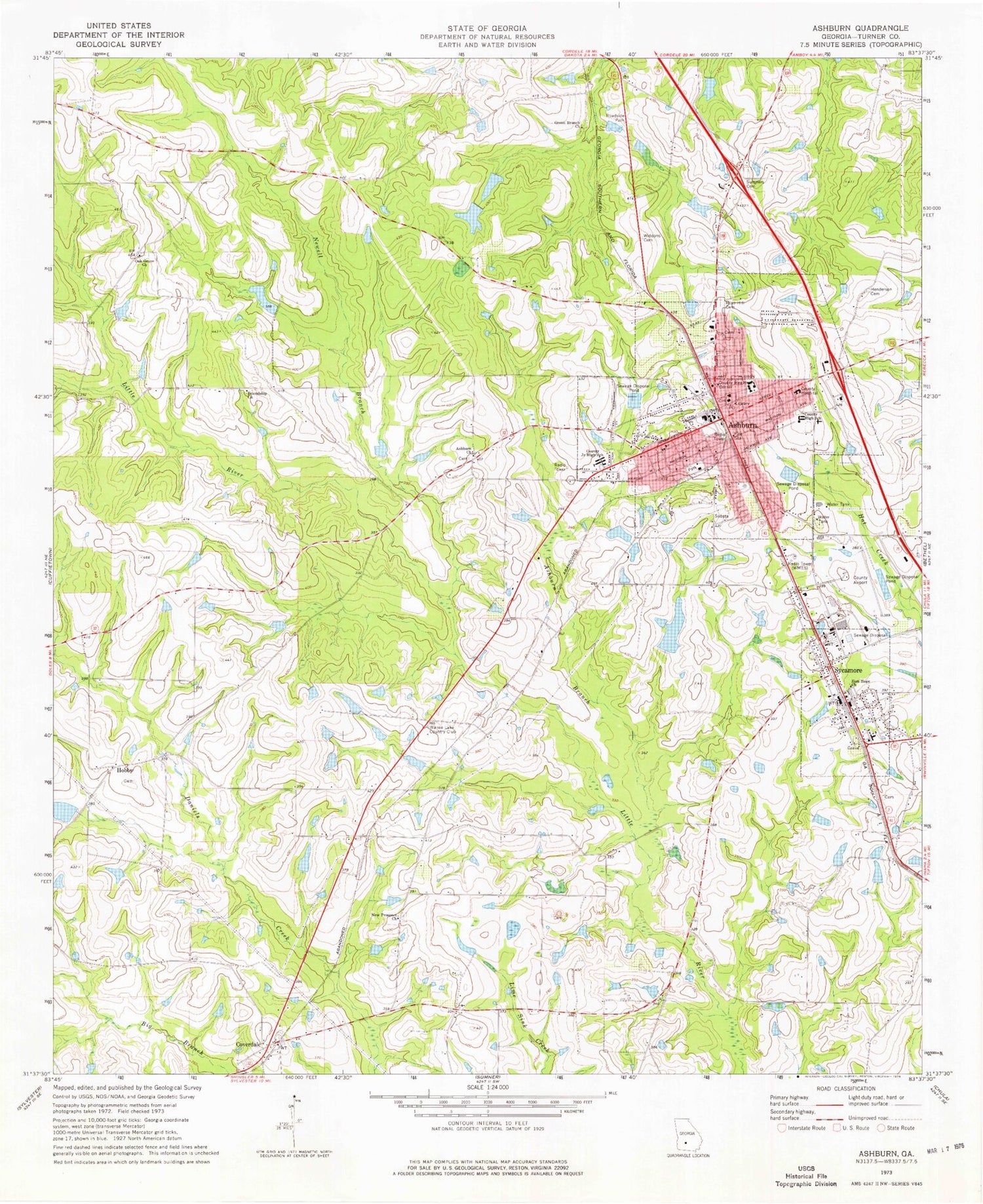
Classic USGS Ashburn Georgia 7.5'x7.5' Topo Map
Couldn't load pickup availability
Historical USGS topographic quad map of Ashburn in the state of Georgia. Map scale may vary for some years, but is generally around 1:24,000. Print size is approximately 24" x 27"
This quadrangle is in the following counties: Turner.
The map contains contour lines, roads, rivers, towns, and lakes. Printed on high-quality waterproof paper with UV fade-resistant inks, and shipped rolled.
Contains the following named places: Ashburn, Ashburn Branch, Ashburn Church, Ashburn City Hall, Ashburn Division, Ashburn Elementary School, Ashburn Fire Department, Ashburn Methodist Church, Ashburn Police Department, Ashburn Post Office, Ashburn-Sycamore Division, Betts Pond, City of Ashburn, City of Sycamore, County Line School, Coverdale, First Baptist Church, Friendship Church, Green Branch Cemetery, Green Branch Church, H E Jones Lake, H E Jones Lake Dam, Henderson Cemetery, Hobby, Little River School, Nelson Lake, Nelson Lake Dam, New Prospect Church, Newell Branch, Oak Grove Baptist Church, Rogers Plaza Shopping Center, Rose Hill Cemetery, Shingler School, Story Lake, Story Lake Dam, Sumners Cemetery, Sycamore, Sycamore Baptist Church, Sycamore Consolidated High School, Sycamore Fire Department, Sycamore Police Department, Sycamore Post Office, Turner County Airport, Turner County Courthouse, Turner County Elementary School, Turner County Fire and Emergency Management Agency, Turner County Fire and Rescue Coverdale Station, Turner County High School, Turner County Industrial Park, Turner County Jail, Turner County Junior High School, Turner County Sheriff's Office, Turner Pre-Release Center, Victoria Evans Memorial Library, Wanee Lake Country Club, Ward Lake South, Ward Lake South Dam, Ward Lake West, Ward Lake West Dam, Ward Pond North, Ward Pond North Dam, Westview Cemetery, WFFM-FM (Ashburn), Widdons Cemetery, WNNQ-AM (Ashburn), Zion Hope Church, ZIP Code: 31714


