MyTopo
Classic USGS Ashdown East Arkansas 7.5'x7.5' Topo Map
Couldn't load pickup availability
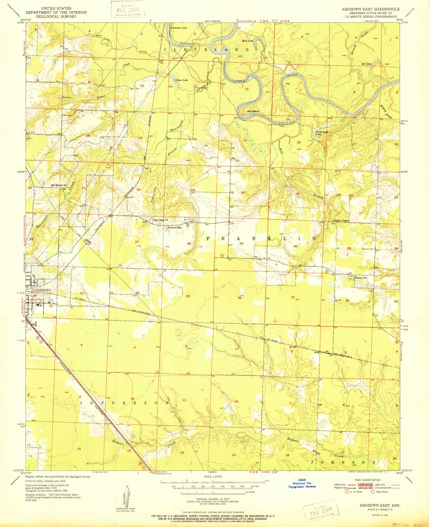
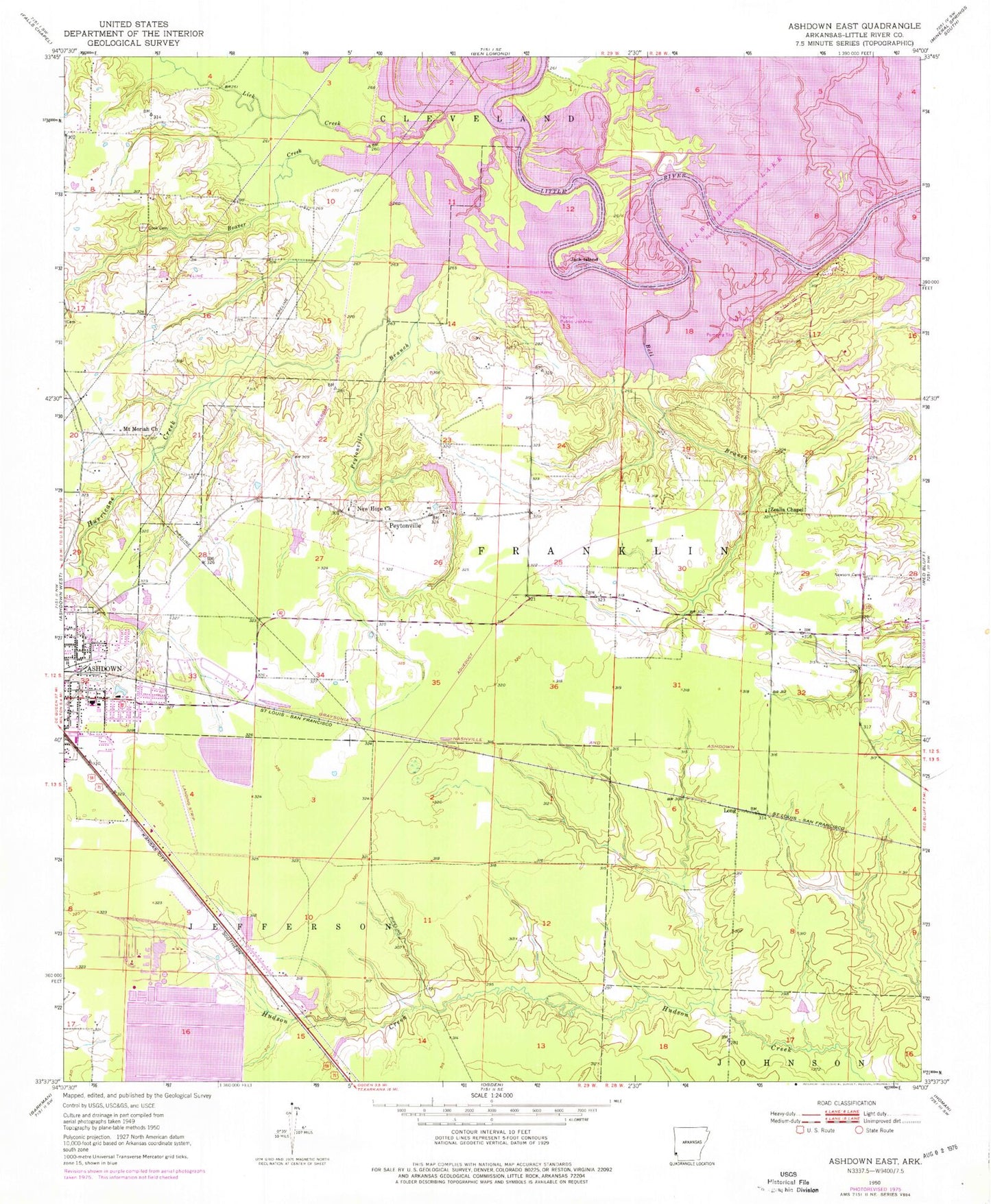
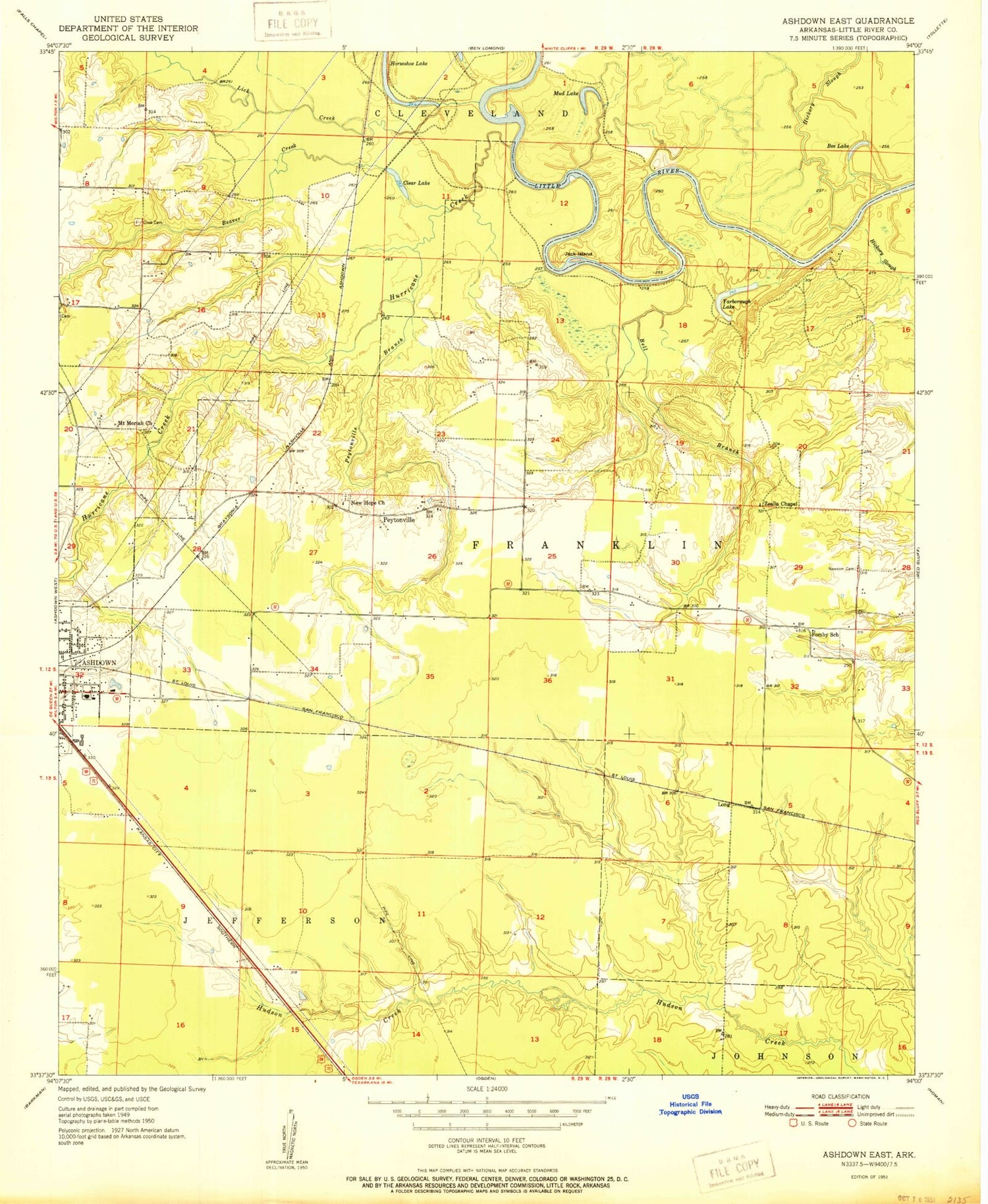
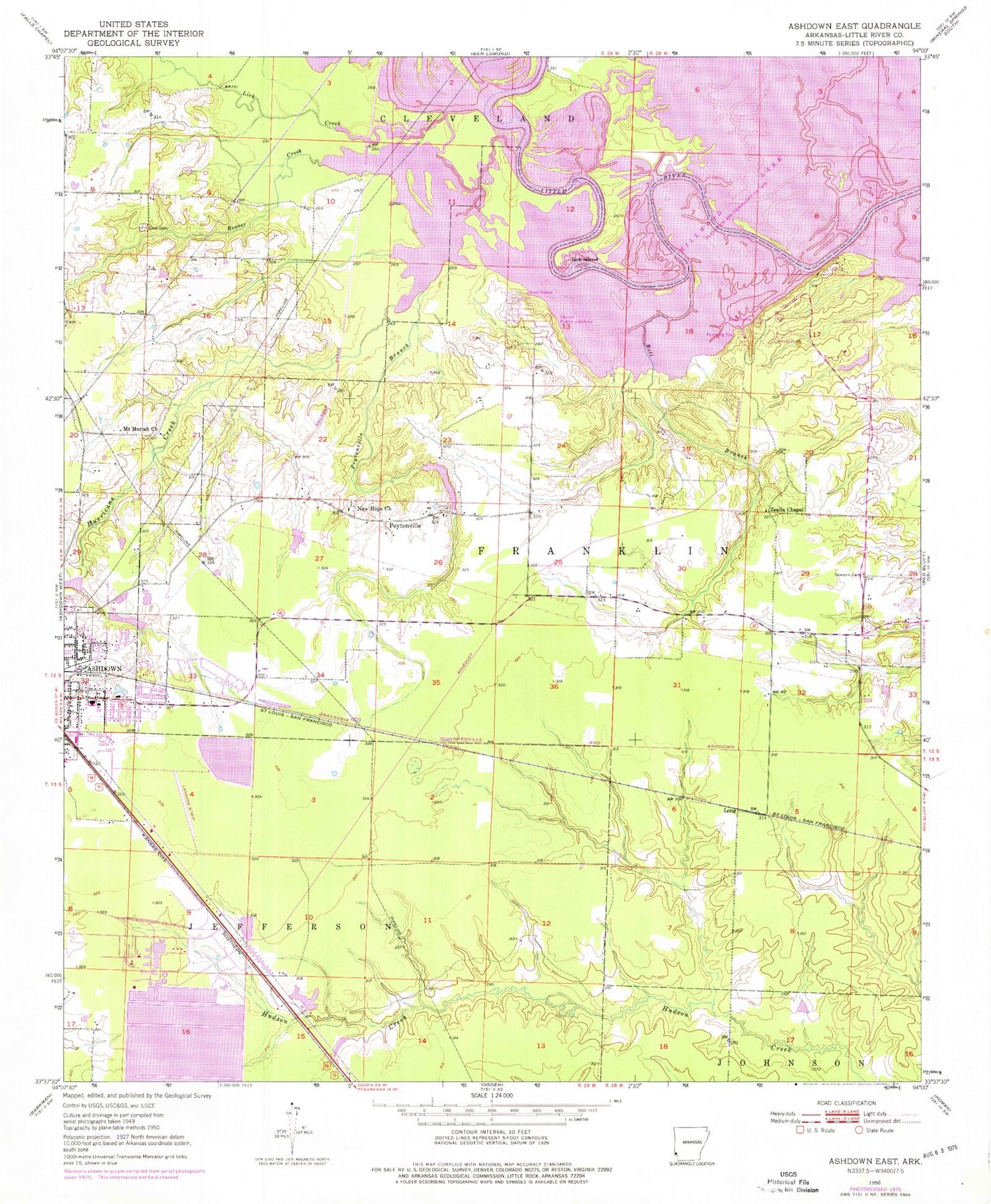
Historical USGS topographic quad map of Ashdown East in the state of Arkansas. Map scale may vary for some years, but is generally around 1:24,000. Print size is approximately 24" x 27"
This quadrangle is in the following counties: Little River.
The map contains contour lines, roads, rivers, towns, and lakes. Printed on high-quality waterproof paper with UV fade-resistant inks, and shipped rolled.
Contains the following named places: Ashdown Fire Department Station 1, Ashdown High School, Ashdown Junior High School, Ashdown Police Department, Beaver Creek, Bell Branch, Cook Cemetery, Country Club Lake, Craig Chapel African Methodist Episcopal Church, Domtar Industries Ashdown Mill Ambulance Services, Domtar Industries Fire Department Ashdown Mill, First Assembly of God Church, Fomby, Fomby School, Harris Lake, Harris Lake Dam, Hicks, House of God Church, Hurricane Creek, Jack Island, Jacks Isle, Jacks Isle Volunteer Fire Station, KARQ-FM (Ashdown), Lick Creek, Lifenet Incorporated - Ashdown (Ambulance Services), Long, Millwood Country Club Lake Dam, Mount Moriah Church, Nacoosa Paper Retention Pond, New Hope Church, Newsom Cemetery, Peyton Public Use Area, Peytonville, Peytonville Branch, Peytonville Cemetery, Peytonville Cumberland Presbyterian Church, Pleasant Manor Nursing Home, Southtown Shopping Center, SW Arkansas W D Holding Basin, SW Arkansas W D Holding Basin Dam, Township of Cleveland, Township of Franklin, Township of Jefferson, Yarborough Fire Department Station 1, Yarborough Landing, Yarborough Landing Census Designated Place, Zealia Chapel


