MyTopo
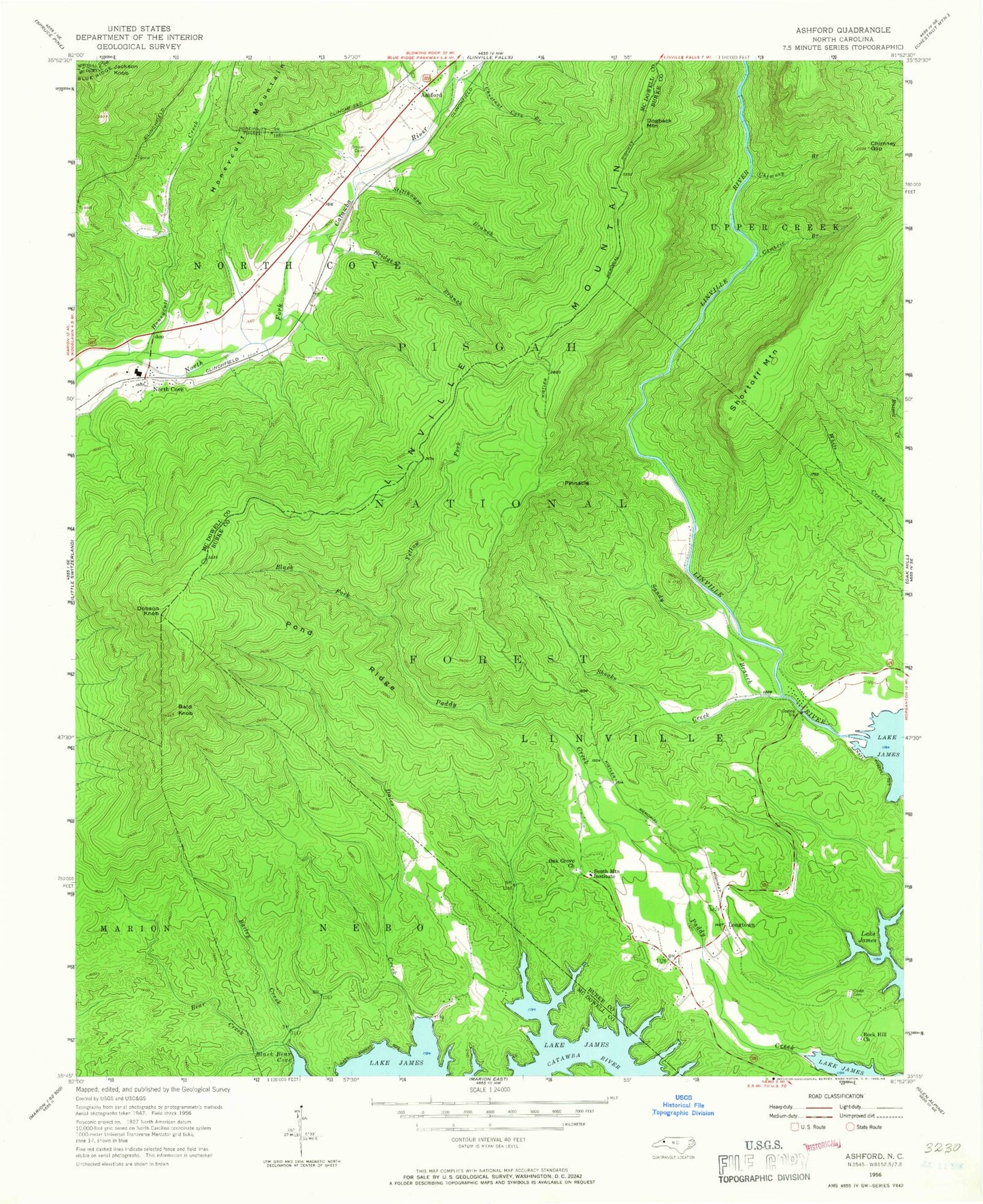
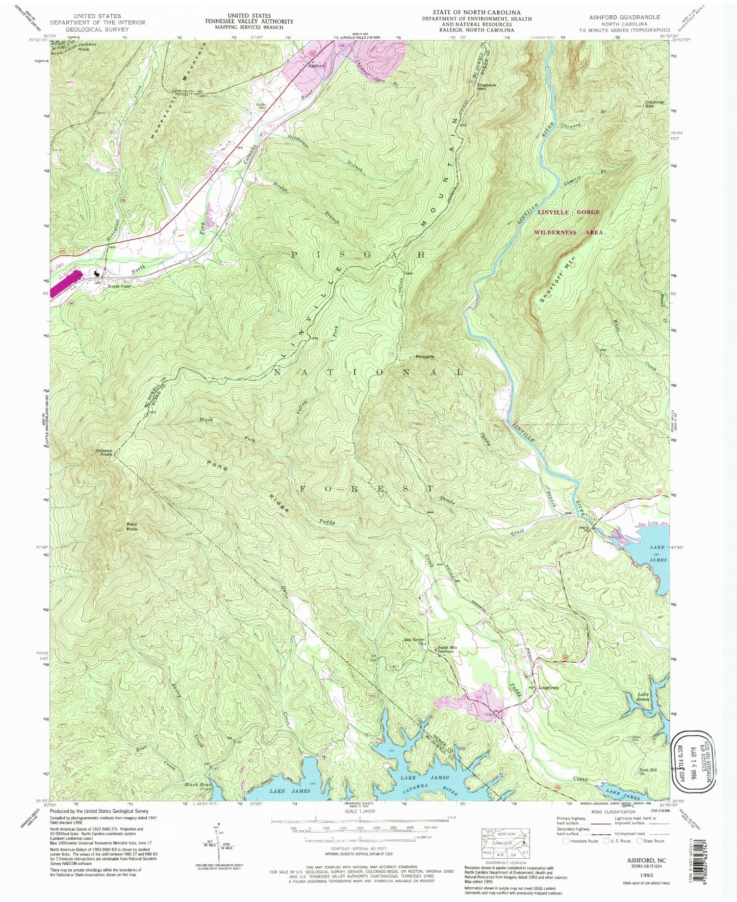
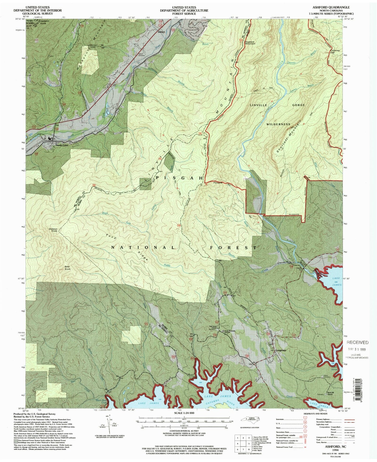
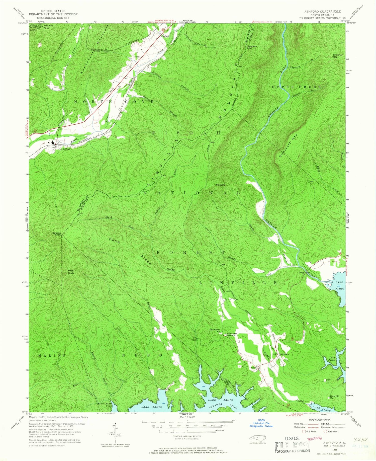
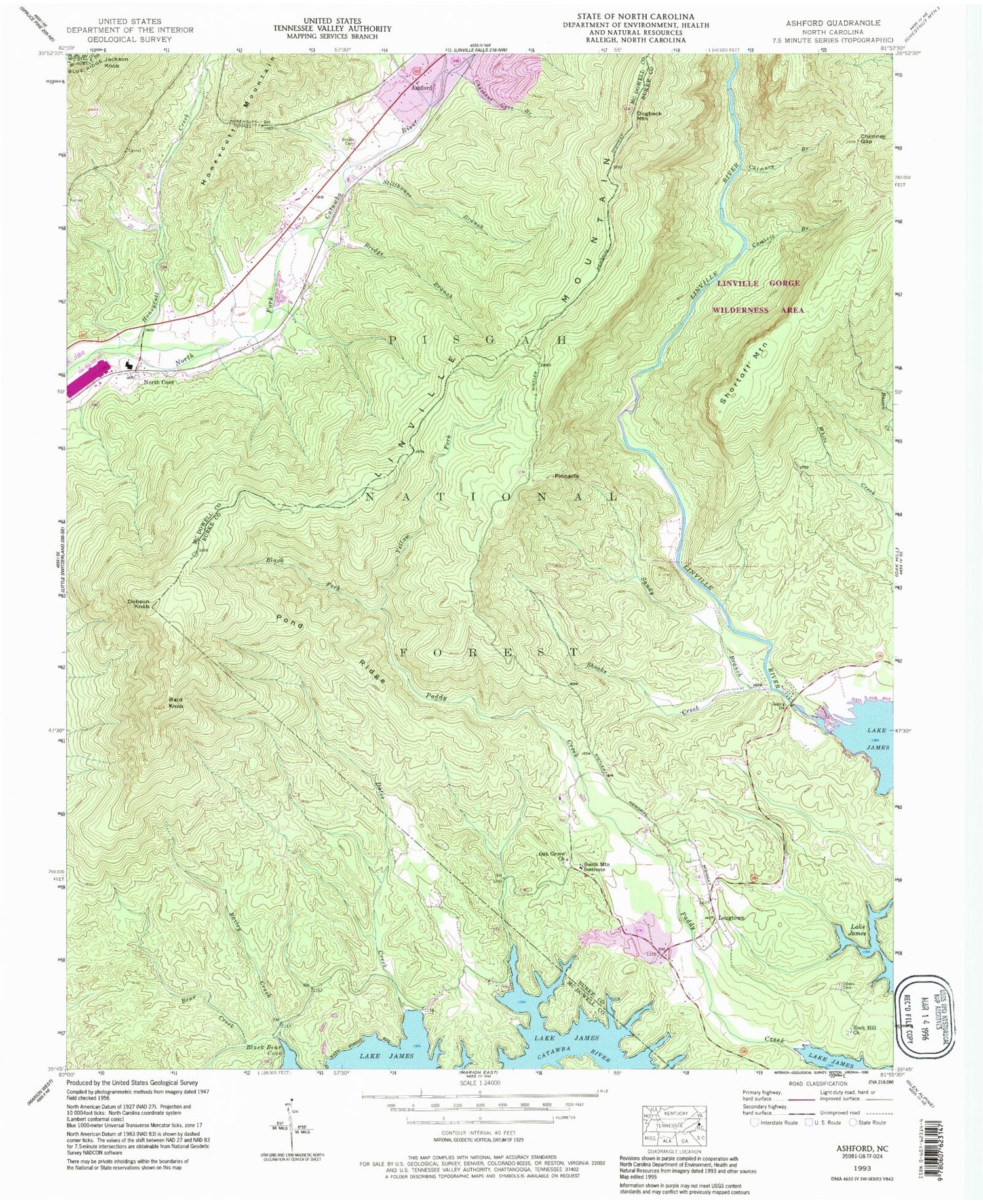
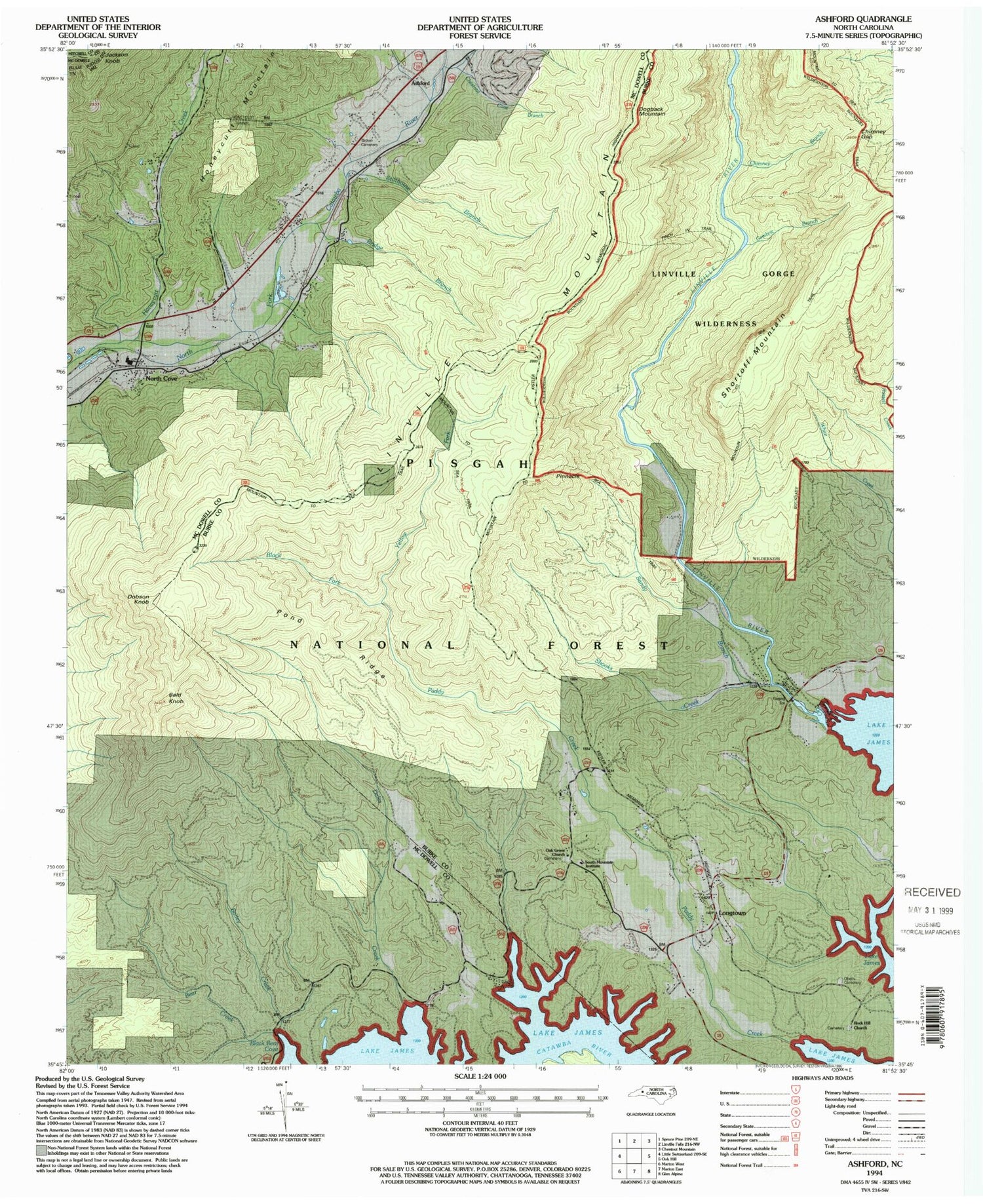
USGS Classic Ashford North Carolina 7.5'x7.5' Topo Map
Couldn't load pickup availability
Historical USGS topographic quad map of Ashford in the state of North Carolina. Scale: 1:24000. Print size: 24" x 27"
This quadrangle is in the following counties: Burke, McDowell, Mitchell.
The map contains contour lines, roads, rivers, towns, lakes, and grids including latitude / longitude and UTM / MGRS. Printed on high-quality waterproof paper with UV fade-resistant inks.
Contains the following named places: Bailey Creek, Bald Knob, Bear Creek, Black Fork, Bridge Branch, Brown Cemetery, Cambric Branch, Chestnut Cove Branch, Chimney Branch, Chimney Gap, Dales Creek, Honeycutt Tunnel, North Cove, Oak Grove Church, Obeth Cemetery, Pond Ridge, Rock Hill Church, Sandy Branch, Shooks Creek, South Mountain Institute, Stillhouse Branch, Yellow Fork, Linville, Longtown, North Cove Elementary School, Dogback Spring Branch, Honeycutt Creek, Linville Gorge, Ashford, Dobson Knob, Dogback Mountain, Pinnacle, Shortoff Mountain, Township of Linville, Ashford - North Cove Volunteer Fire Department, Oak Grove Baptist Church Cemetery
