MyTopo
Classic USGS Ashland North Ohio 7.5'x7.5' Topo Map
Couldn't load pickup availability
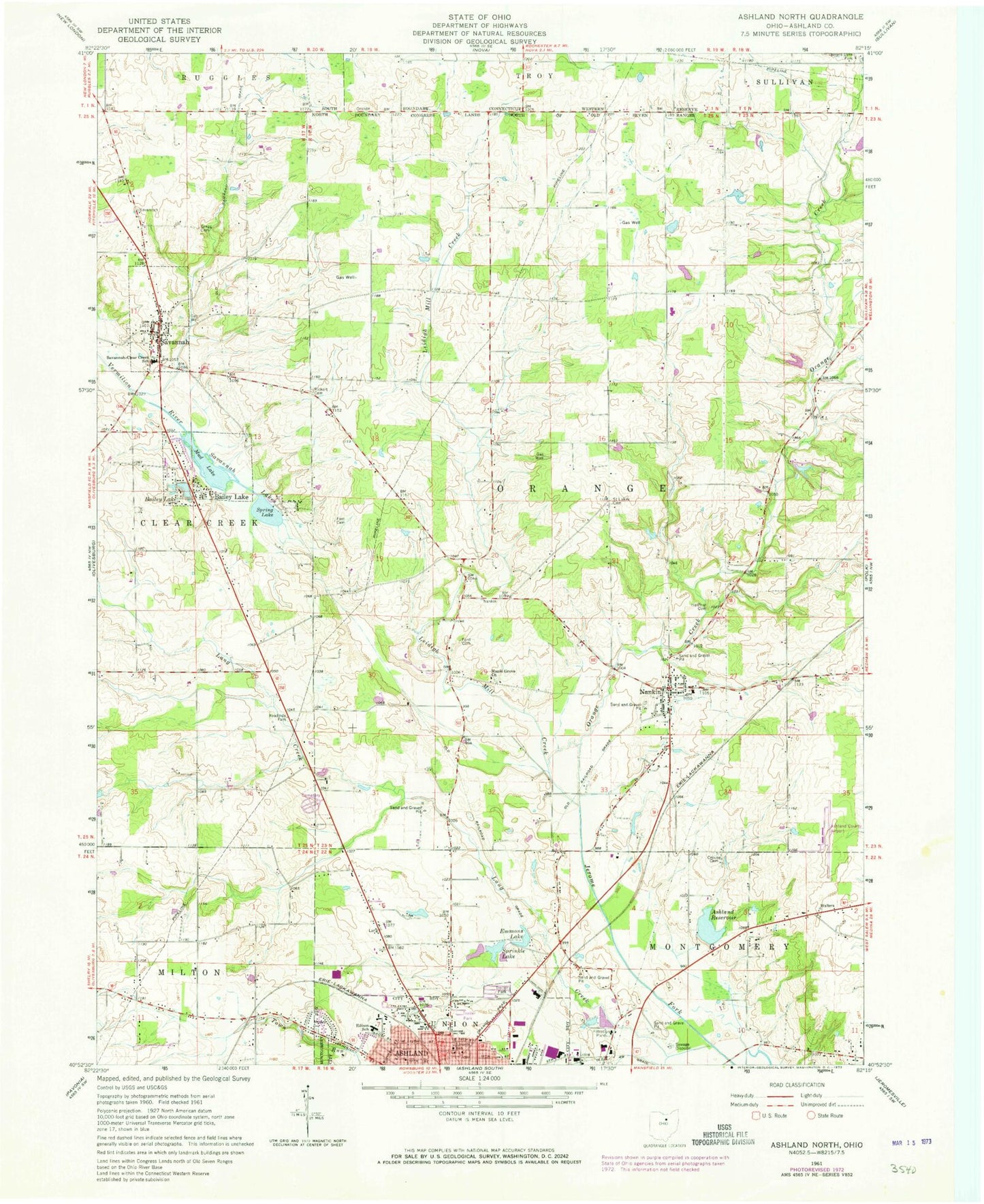
Historical USGS topographic quad map of Ashland North in the state of Ohio. Map scale may vary for some years, but is generally around 1:24,000. Print size is approximately 24" x 27"
This quadrangle is in the following counties: Ashland.
The map contains contour lines, roads, rivers, towns, and lakes. Printed on high-quality waterproof paper with UV fade-resistant inks, and shipped rolled.
Contains the following named places: Ashland County Airport, Ashland Memorial Park, Ashland Reservoir, Ashland Water Treatment Plant, Bailey Lake, Beeghley Cemetery, Brookside West Park, Crouse Cemetery, Edison Elementary School, Emmons Field, Emmons Lake, Fackler Arabian Farm, Fast Cemetery, Ford Cemetery, Gregg Cemetery, Heiffner Cemetery, Krebs Cemetery, Lake Silverstone Mobile Home Park, Lance Lake, Lance Lake Dam, Lang Creek, Leidigh Mill Creek, Lincoln Elementary School, Maple Grove Church, Mapleton High School, Meadowbrook Mobile Home Park, Mud Lake, Nankin, Nankin Cemetery, Nankin Census Designated Place, Nankin Elementary School, Nankin Orange Township Fire Department, Nankin Post Office, Normlein Farms, North Orange Cemetery, ODOT District 3 Heliport, Old Hopewell Cemetery, Orange Creek, Ramsay Dairy Farm, Rickert Cemetery, Saint Lukes Cemetery, Savannah, Savannah Cemetery, Savannah Lakes, Savannah Post Office, Savannah Volunteer Fire Company, Savannah-Clear Creek School, Slyman Lake, Slyman Lake Dam, Spring Lake, Springdale Farm, Sprinkle Lake, Sprotts Hill, Town Run, Township of Orange, Twin Mobile Home Park, Village of Bailey Lakes, Village of Savannah, Vogel Airpark, ZIP Code: 44874


