MyTopo
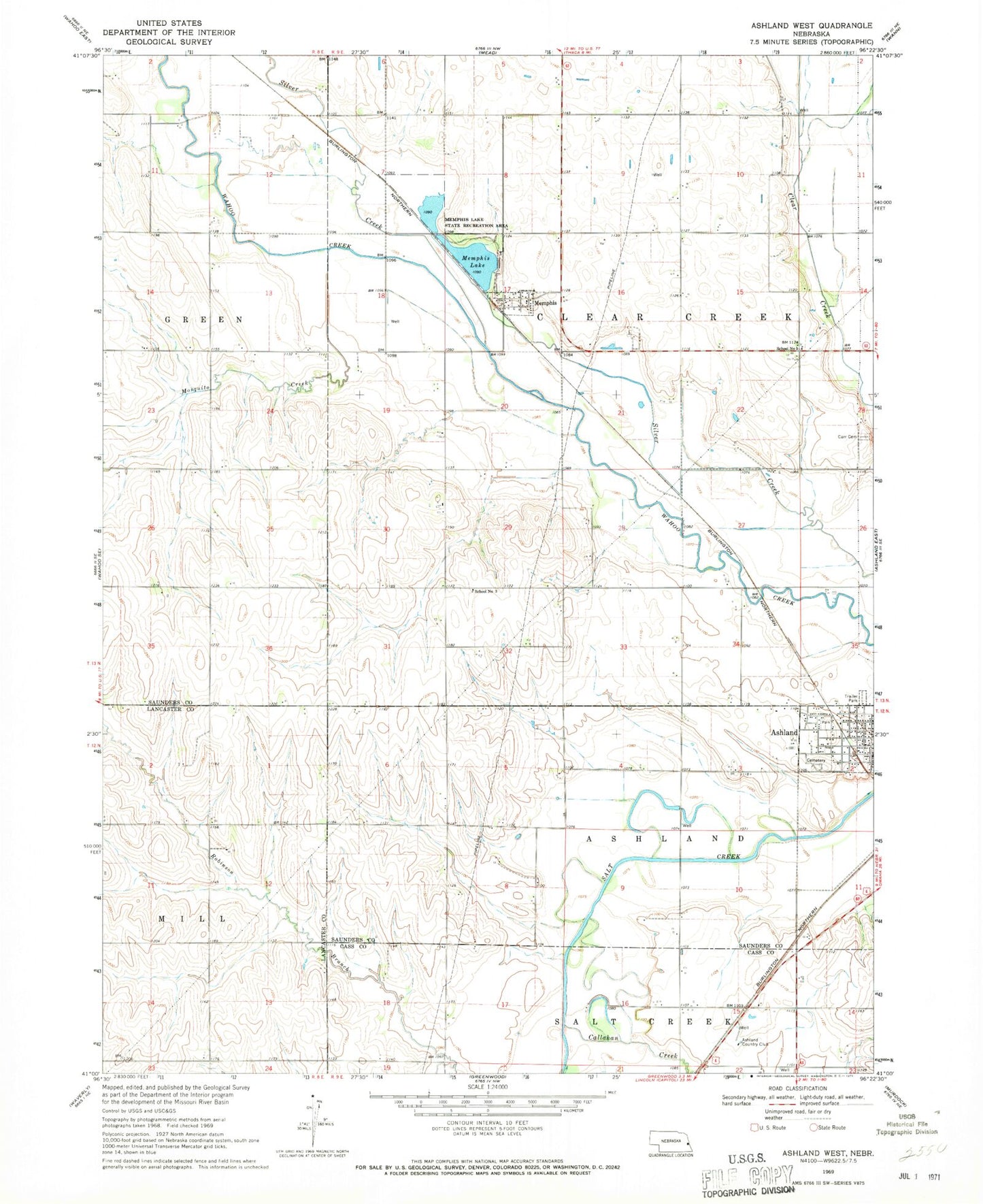
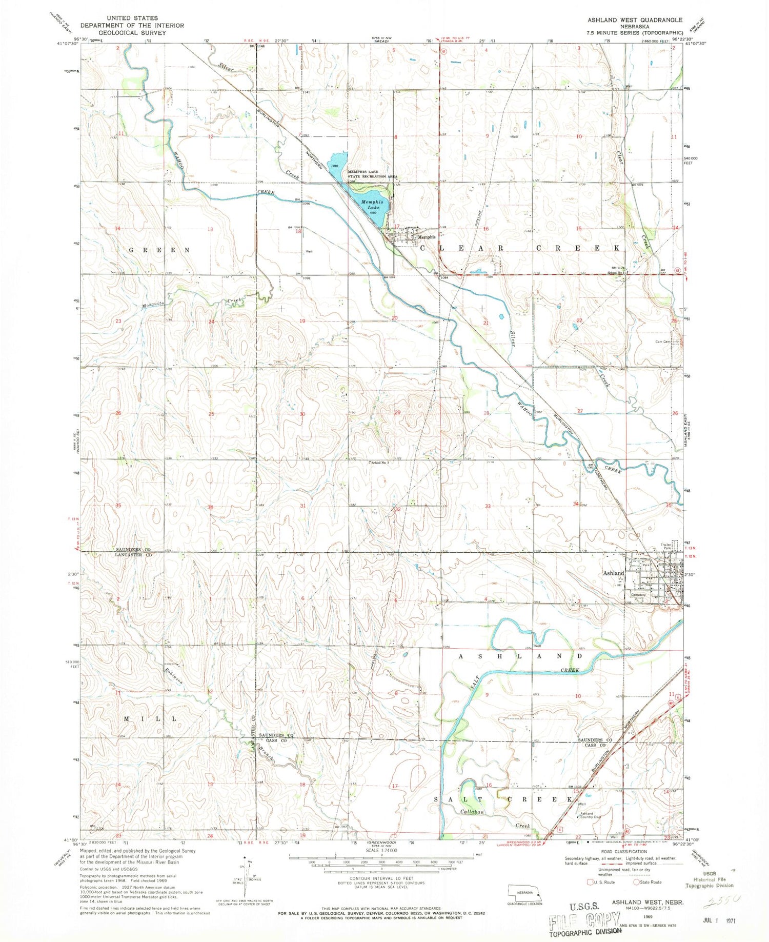
Classic USGS Ashland West Nebraska 7.5'x7.5' Topo Map
Couldn't load pickup availability
Historical USGS topographic quad map of Ashland West in the state of Nebraska. Map scale may vary for some years, but is generally around 1:24,000. Print size is approximately 24" x 27"
This quadrangle is in the following counties: Cass, Lancaster, Saunders.
The map contains contour lines, roads, rivers, towns, and lakes. Printed on high-quality waterproof paper with UV fade-resistant inks, and shipped rolled.
Contains the following named places: American Lutheran Church, Ashland Country Club, Ashland Police Department, Ashland Rescue Squad - Ambulance, Ashland Volunteer Fire Department, Callahan Creek, Carr Cemetery, Clear Creek Public School, Luetkenhaus Airport, Memphis, Memphis Dam, Memphis Lake, Memphis Lake State Recreation Area, Memphis Post Office, Mosquito Creek, School Number 5, Silver Creek, Starns Brothers Airport, Township of Ashland, Township of Clear Creek, Treadway Air, Village of Memphis, Wiggenhorn Memorial Park, ZIP Codes: 68003, 68042