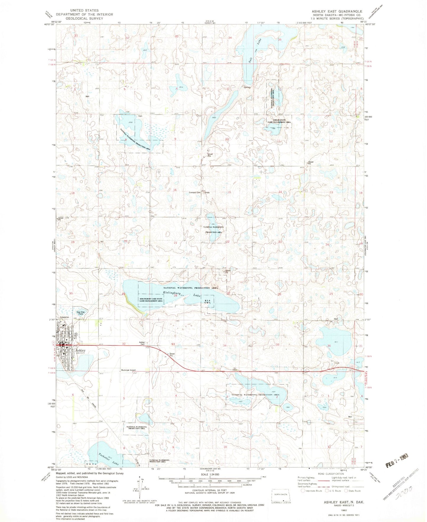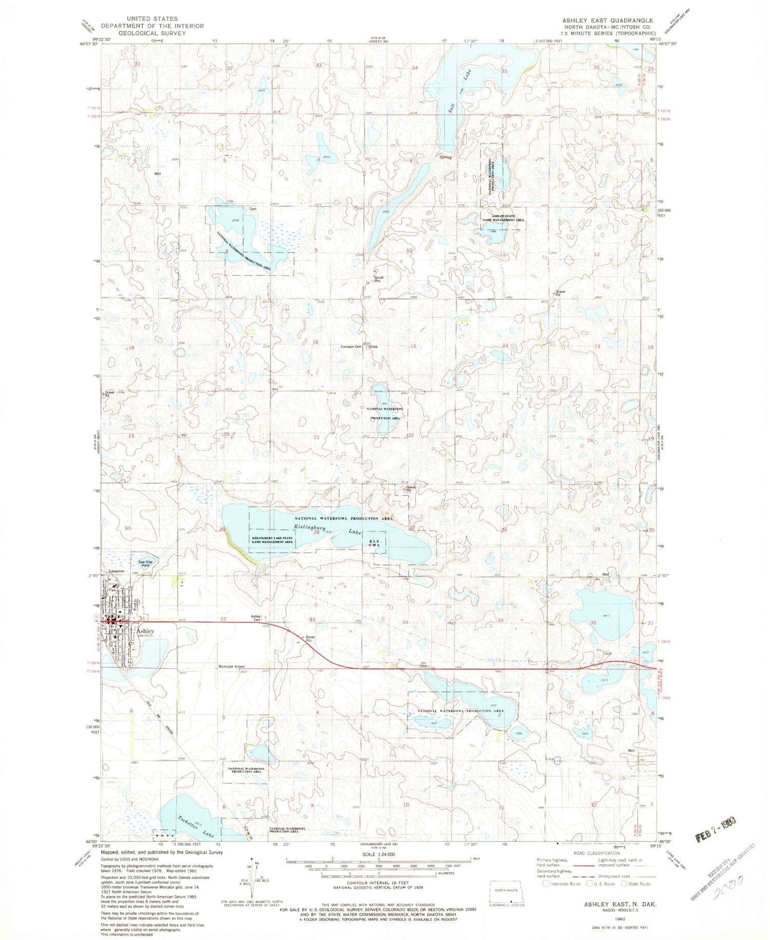
MyTopo
Classic USGS Ashley East North Dakota 7.5'x7.5' Topo Map
Couldn't load pickup availability
Historical USGS topographic quad map of Ashley East in the state of North Dakota. Map scale may vary for some years, but is generally around 1:24,000. Print size is approximately 24" x 27"
This quadrangle is in the following counties: McIntosh.
The map contains contour lines, roads, rivers, towns, and lakes. Printed on high-quality waterproof paper with UV fade-resistant inks, and shipped rolled.
Contains the following named places: Ashley, Ashley Ambulance Service, Ashley City Cemetery, Ashley City Police Department, Ashley Medical Center, Ashley Medical Center Nursing Facility, Ashley Municipal Airport, Ashley Municipal Building, Ashley Post Office, Ashley Public Library, Ashley Rural Fire Department, Ashley State Game Management Area, City of Ashley, Emmaus Cemetery, Kislingburg Lake, Kislingbury Lake State Game Management Area, McIntosh County Courthouse, McIntosh County Heritage Center, McIntosh County Sheriff's Office, Salt Lake, Tschetter Lake, ZIP Code: 58413