MyTopo
Classic USGS Ashton Nebraska 7.5'x7.5' Topo Map
Couldn't load pickup availability
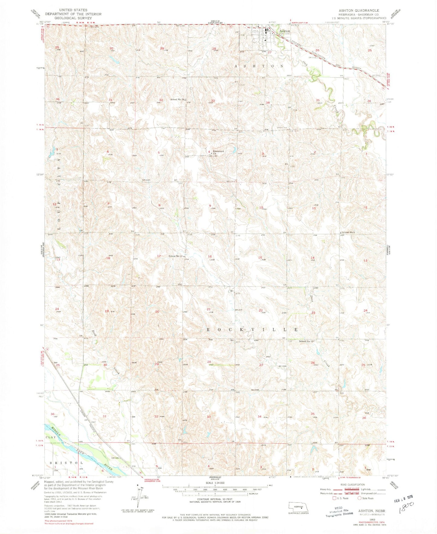
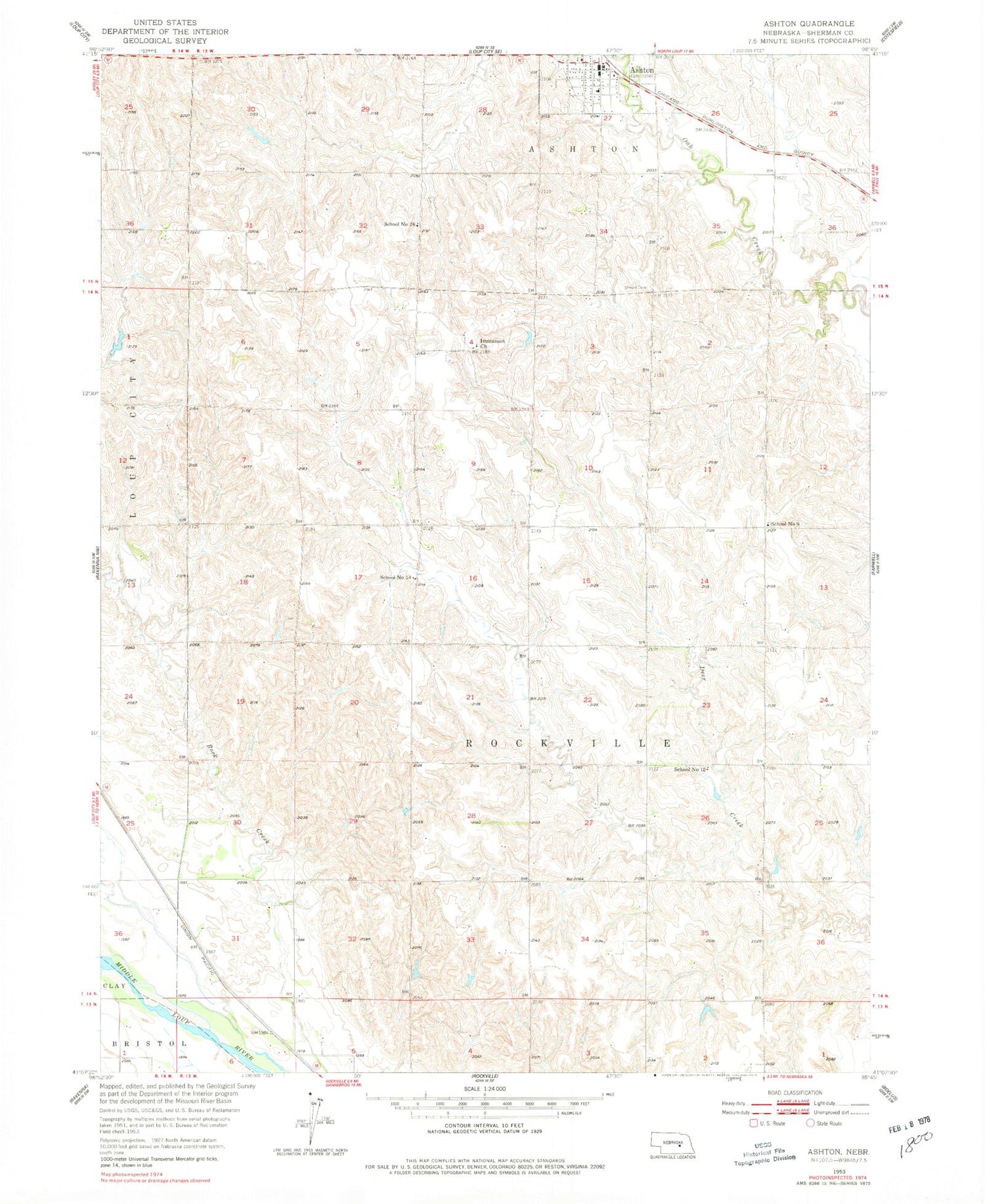
Historical USGS topographic quad map of Ashton in the state of Nebraska. Map scale may vary for some years, but is generally around 1:24,000. Print size is approximately 24" x 27"
This quadrangle is in the following counties: Sherman.
The map contains contour lines, roads, rivers, towns, and lakes. Printed on high-quality waterproof paper with UV fade-resistant inks, and shipped rolled.
Contains the following named places: Ashton, Ashton Fire and Rescue, Ashton Post Office, Ashton Schools, Gregg Dam, Gregg Reservoir, Immanuel Church, Saint Francis Catholic Church, School Number 12, School Number 26, School Number 54, School Number 6, Township of Rockville, Trotter Incorporated Elevator, Union Cemetery, Village of Ashton, ZIP Code: 68871