MyTopo
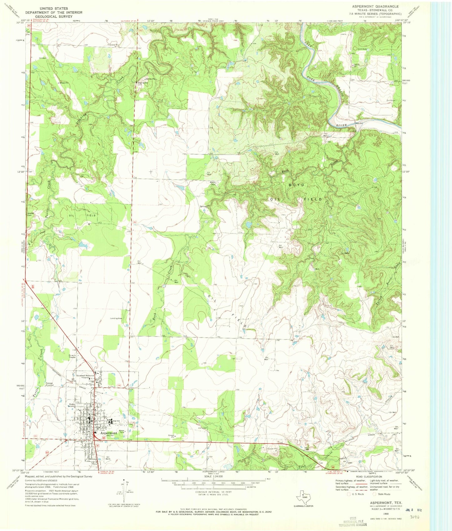
Classic USGS Aspermont Texas 7.5'x7.5' Topo Map
Couldn't load pickup availability
Historical USGS topographic quad map of Aspermont in the state of Texas. Map scale may vary for some years, but is generally around 1:24,000. Print size is approximately 24" x 27"
This quadrangle is in the following counties: Stonewall.
The map contains contour lines, roads, rivers, towns, and lakes. Printed on high-quality waterproof paper with UV fade-resistant inks, and shipped rolled.
Contains the following named places: Aspermont, Aspermont City Hall, Aspermont Post Office, Boyd Oil Field, Douglas Flying Service Private Airport, K U Creek, Rock Creek, Stonewall County Airport, Stonewall County Jail, Stonewall County Sheriff's Office, Stonewall County Volunteer Fire Department, Stonewall Memorial Hospital, Town of Aspermont, Turtle Creek, ZIP Code: 79502