MyTopo
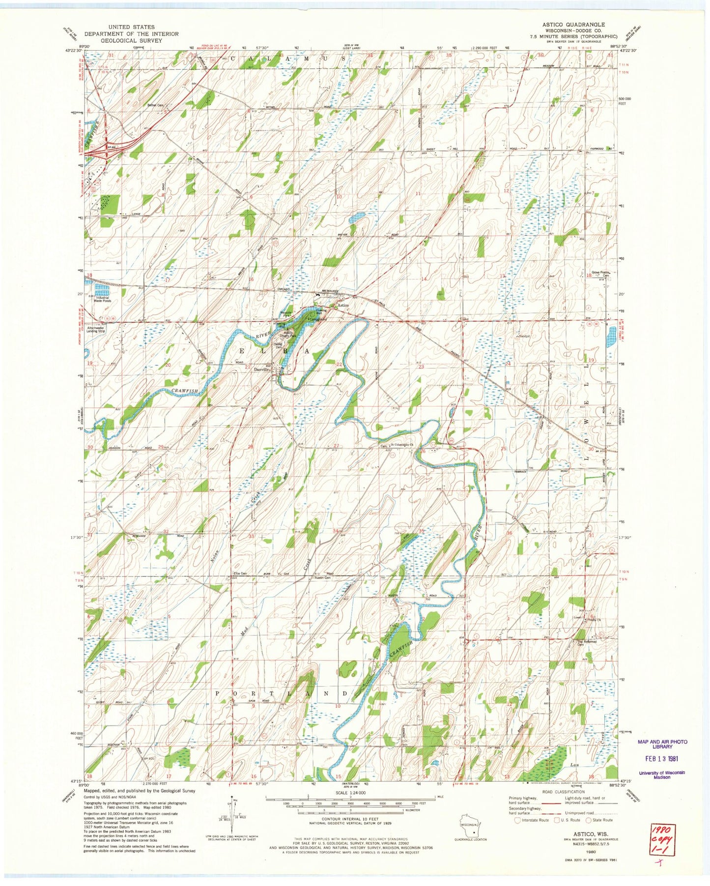
Classic USGS Astico Wisconsin 7.5'x7.5' Topo Map
Couldn't load pickup availability
Historical USGS topographic quad map of Astico in the state of Wisconsin. Map scale may vary for some years, but is generally around 1:24,000. Print size is approximately 24" x 27"
This quadrangle is in the following counties: Dodge.
The map contains contour lines, roads, rivers, towns, and lakes. Printed on high-quality waterproof paper with UV fade-resistant inks, and shipped rolled.
Contains the following named places: Altschwader Landing Strip, Astico, Astico County Park, Austin Cemetery, Benninger Farms, Bethel Cemetery, Country Gate Farm, Danville, Danville Dam, Danville Millpond 165, Elba Cemetery, Evangelical Reformed Cemetery, Franklin School, Gaffney School, Goebel School, Grove Prairie Cemetery, Grove Prairie School, Hartley School, Henken Farms, Homestead School, Maiden Lane School, Mud Creek, Nolan Creek, Okeag Cemetery, Pershing School, Pleasant Vale School, Saint Columbkille Church, Town of Elba, Trinity Church, Valley School, Wipple School, WYDI-TV (Fond du Lac)