
MyTopo
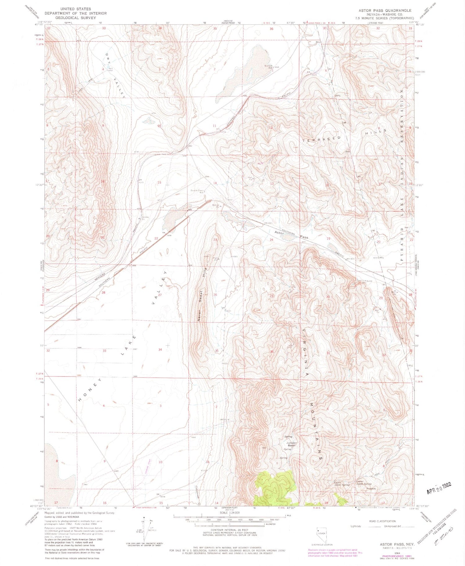
Classic USGS Astor Pass Nevada 7.5'x7.5' Topo Map
Couldn't load pickup availability
Historical USGS topographic quad map of Astor Pass in the state of Nevada. Map scale may vary for some years, but is generally around 1:24,000. Print size is approximately 24" x 27"
This quadrangle is in the following counties: Washoe.
The map contains contour lines, roads, rivers, towns, and lakes. Printed on high-quality waterproof paper with UV fade-resistant inks, and shipped rolled.
Contains the following named places: Astor, Astor Pass, Bonham Well, Cottonwood Creek, Double Check, Double Check Well, Dry Valley, Flanigan Mining District, Fred True Well, Honey Lake Valley, Junction City, Juniper Basin, Kepler, Lower Adobe Spring, Mission Peak Well, Mocho Spring Number Two, Never Sweat Hills, Sand Pass, Upper Adobe Spring


