MyTopo
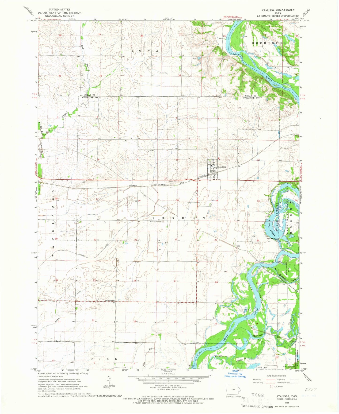
Classic USGS Atalissa Iowa 7.5'x7.5' Topo Map
Couldn't load pickup availability
Historical USGS topographic quad map of Atalissa in the state of Iowa. Map scale may vary for some years, but is generally around 1:24,000. Print size is approximately 24" x 27"
This quadrangle is in the following counties: Cedar, Muscatine.
The map contains contour lines, roads, rivers, towns, and lakes. Printed on high-quality waterproof paper with UV fade-resistant inks, and shipped rolled.
Contains the following named places: Atalissa, Atalissa Post Office, Atalissa Volunteer Fire Department, Brick House Post Office, Browns Ferry, Cedar Valley Church, Cedarville Post Office, Church of Christ, City of Atalissa, East Branch Wapsinonoc Creek, Goshen Ditch, Gray's Ford Cemetery, Lindle Lake, Little Mosquito Creek, Middle Branch Wapsinonoc Creek, Mosquito Creek, Overman Cemetery, Saulsbury Bridge Recreation Area, Tices Ferry, Timberlake Cemetery, Township of Goshen, Wales Ditch, Walker Field, Weiss Cemetery, Wiese Slough, Wiese Slough State Game Management Area, Zion Lutheran Church, ZIP Code: 52720