MyTopo
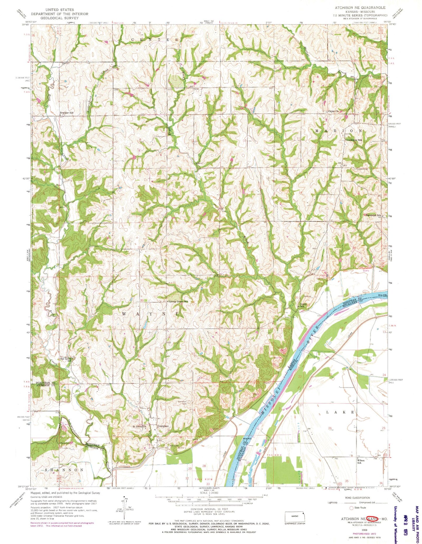
Classic USGS Atchison NE Kansas 7.5'x7.5' Topo Map
Couldn't load pickup availability
Historical USGS topographic quad map of Atchison NE in the states of Kansas, Missouri. Map scale may vary for some years, but is generally around 1:24,000. Print size is approximately 24" x 27"
This quadrangle is in the following counties: Atchison, Buchanan, Doniphan.
The map contains contour lines, roads, rivers, towns, and lakes. Printed on high-quality waterproof paper with UV fade-resistant inks, and shipped rolled.
Contains the following named places: Booze Island Airport, Brenner, Brenner School, Brenner Station, Brush Creek, Brush Creek School, Cordonier School, Cottonwood Creek, Doniphan, Doniphan Cemetery, Doniphan Station, Eureka School, Geary, Geary School, Liberty School, Marion Church, Myers Cemetery, Oak Grove School, Randolph School, Rock Creek, Rock School, Rosendale Cemetery, Saint Johns Church, Singleton Lake, Spring Grove School, Township of Lake, Township of Marion, Township of Wayne, Wilson School