MyTopo
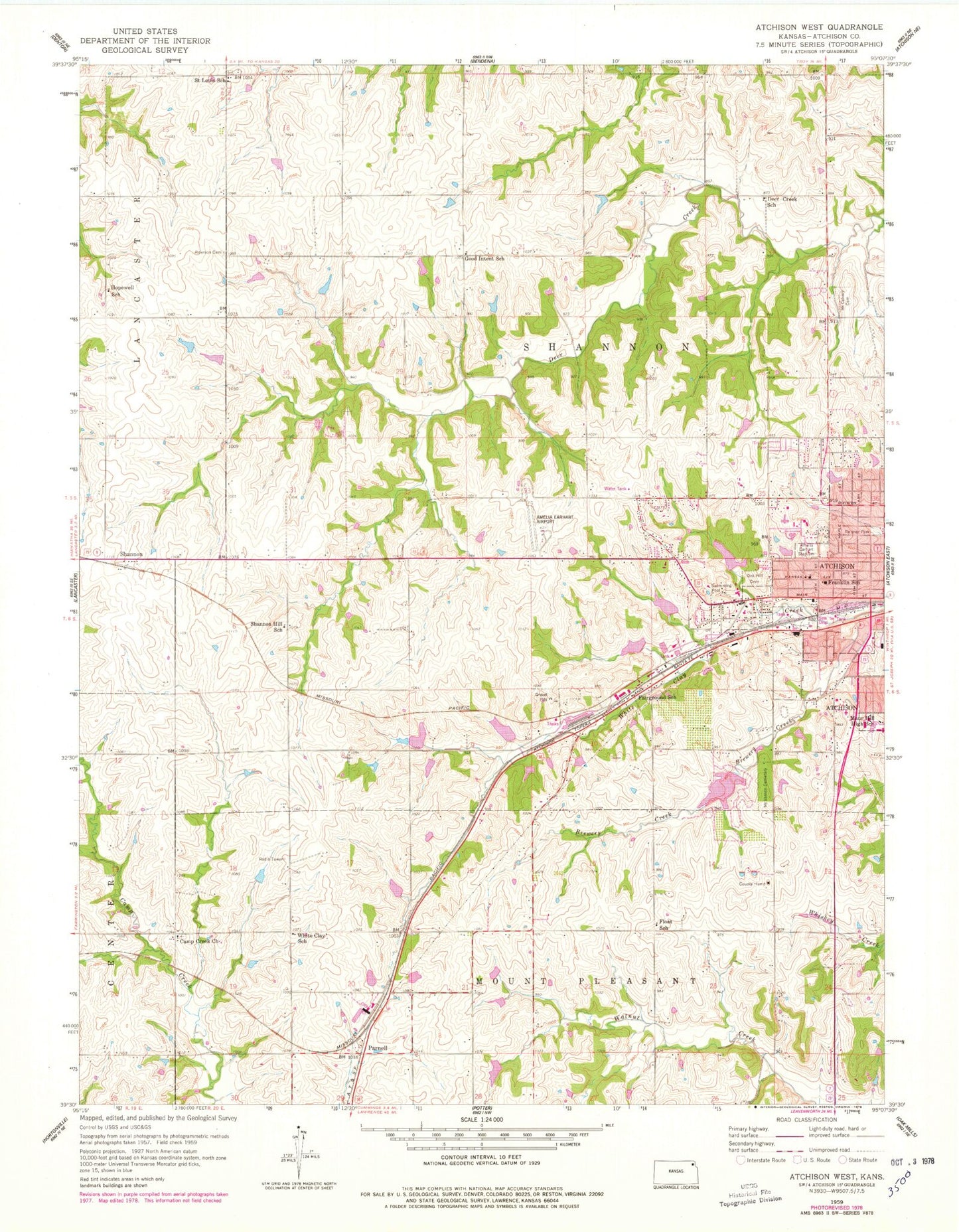
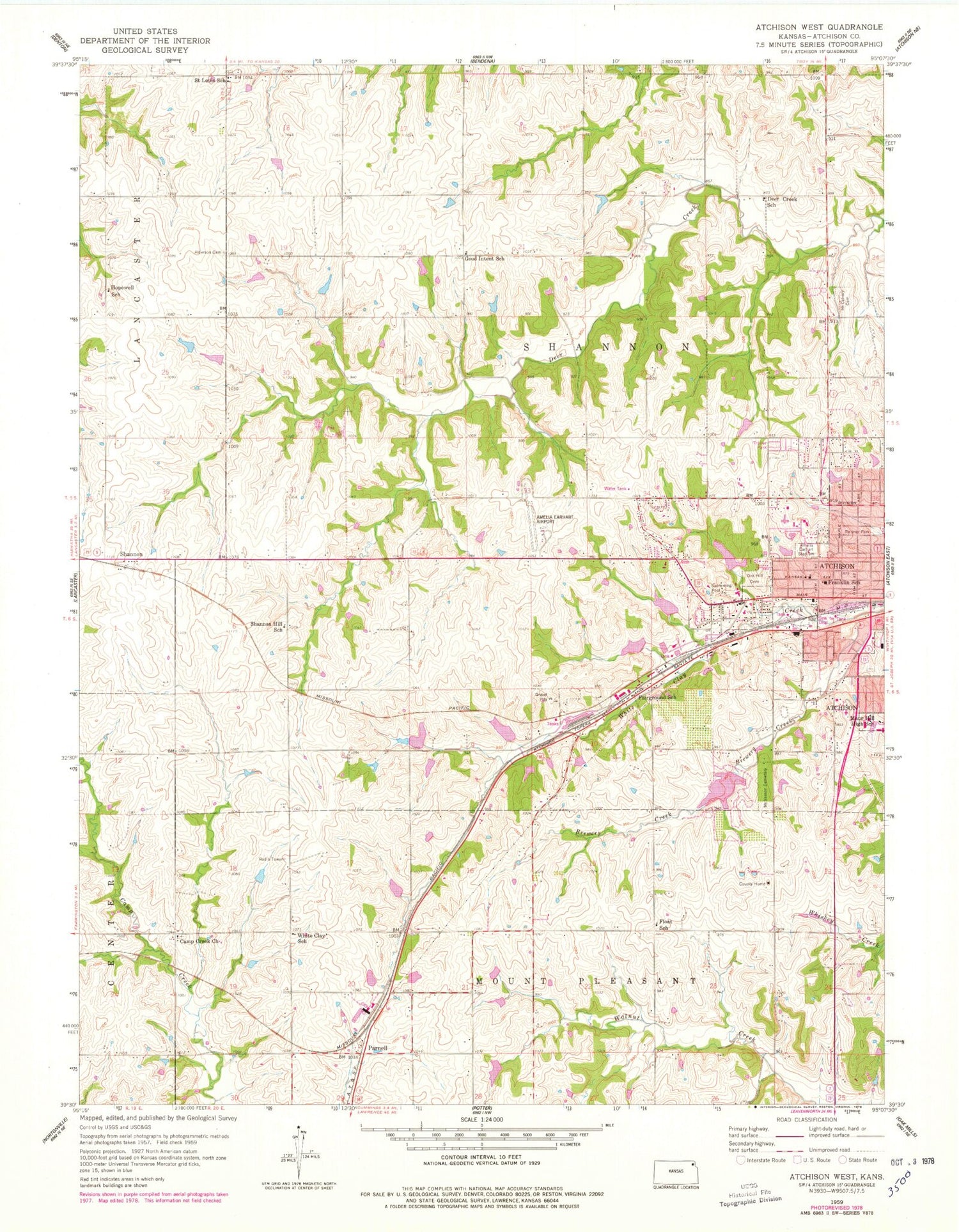
Classic USGS Atchison West Kansas 7.5'x7.5' Topo Map
Couldn't load pickup availability
Historical USGS topographic quad map of Atchison West in the state of Kansas. Map scale may vary for some years, but is generally around 1:24,000. Print size is approximately 24" x 27"
This quadrangle is in the following counties: Atchison.
The map contains contour lines, roads, rivers, towns, and lakes. Printed on high-quality waterproof paper with UV fade-resistant inks, and shipped rolled.
Contains the following named places: Amelia Earhart Airport, Amelia Earhart Stadium, Apostolic Lighthouse Church, Atchison Area Chamber of Commerce Visitor Information Center, Atchison Child Care Center, Atchison County Emergency Medical Services, Atchison County Fire District 1, Atchison County Historical Society Museum, Atchison Elementary School, Atchison High School, Atchison Hospital, Atchison Public Works Department, Atchison Rail Museum, Atchison Seventh Day Adventist Church, Bellevue Country Club, Blair Grain Elevator, Brewery Creek, Camp Creek Cemetery, Camp Creek United Methodist Church, City of Atchison, Deer Creek School, Fairground School, Faith Bible Fellowship Church, First Baptist Church, Float School, Good Intent, Good Intent Cemetery, Good Intent School, Highland Community College Atchison Center, Hopewell School, Kansas Highway Patrol Troop B Atchison County, Maur Hill - Mount Academy, Mount Calvary Cemetery, Mount Saint Scholastica Cemetery, Mount Vernon Cemetery, Oak Hill Cemetery, Parnell, Pineview Country Club, Reisner Park, Riverbend Bible Church, Sacred Heart Catholic Church, Saint Louis Cemetery, Saint Louis Church, Saint Louis School, Shannon, Shannon Hill School, Shannon Industrial Park, Sunset Memory Gardens, Terry School, Township of Shannon, West Atchison Mall, White Clay School, ZIP Code: 66002


