MyTopo
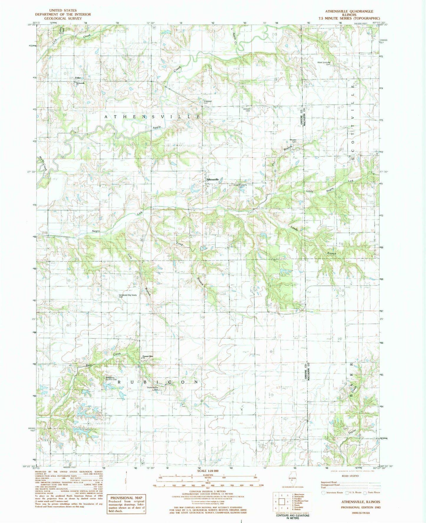
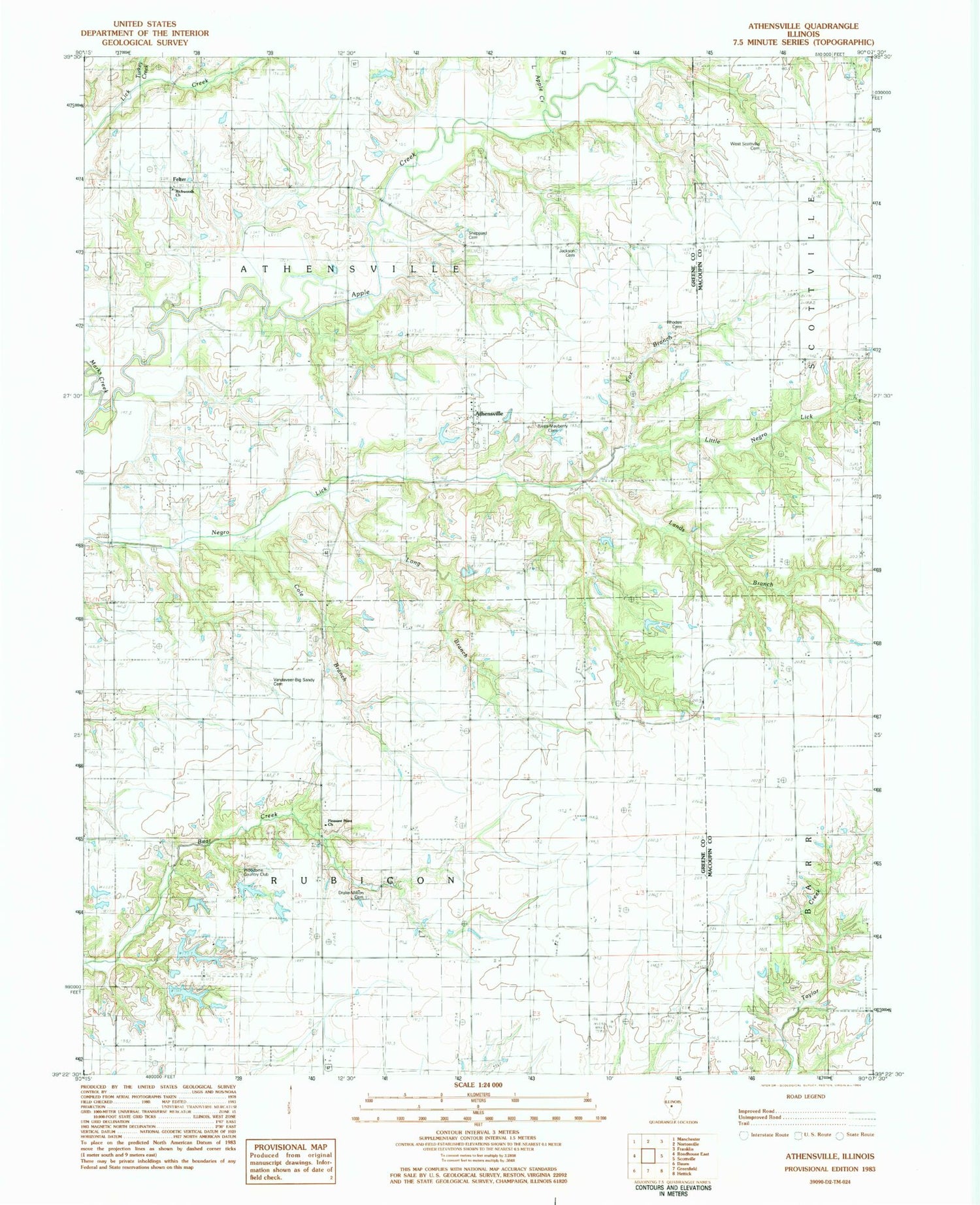
Classic USGS Athensville Illinois 7.5'x7.5' Topo Map
Couldn't load pickup availability
Historical USGS topographic quad map of Athensville in the state of Illinois. Map scale may vary for some years, but is generally around 1:24,000. Print size is approximately 24" x 27"
This quadrangle is in the following counties: Greene, Macoupin.
The map contains contour lines, roads, rivers, towns, and lakes. Printed on high-quality waterproof paper with UV fade-resistant inks, and shipped rolled.
Contains the following named places: Athensville, Athensville Cemetery, Cole Branch, Crawford Cemetery, Drake Million Cemetery, Fox Branch, Happy Hollow, Jackson Cemetery, Jackson School, Lands Branch, Liberty School, Little Apple Creek, Locust Grove School, Long Branch, Marks Creek, Mount Airy School, Mount Zion Church, Oak Hill School, Oakland School, Pleasant Point Church, Pleasant Point School, Reeve - Maberry Cemetery, Rhodes Cemetery, Richwoods Church, Richwoods School, Scottville West Cemetery, Sheppard Cemetery, Sunny Point School, Township of Athensville, Township of Rubicon, Turkey Creek, Union Church, Vandaveer Cemetery, Woodbine Country Club, Woodbine Country Club Lake, Woodbine Country Club Lake Dam


