MyTopo
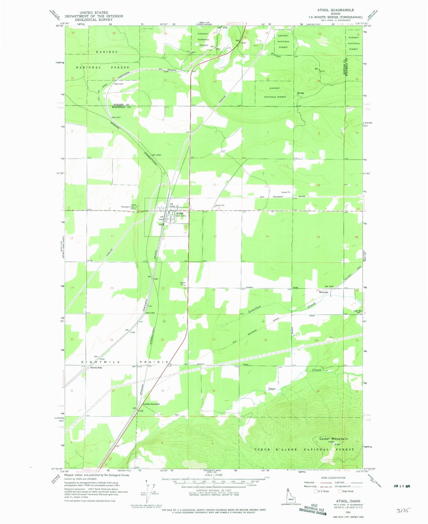
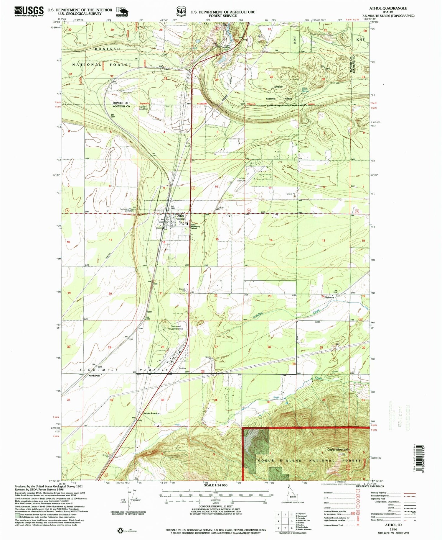
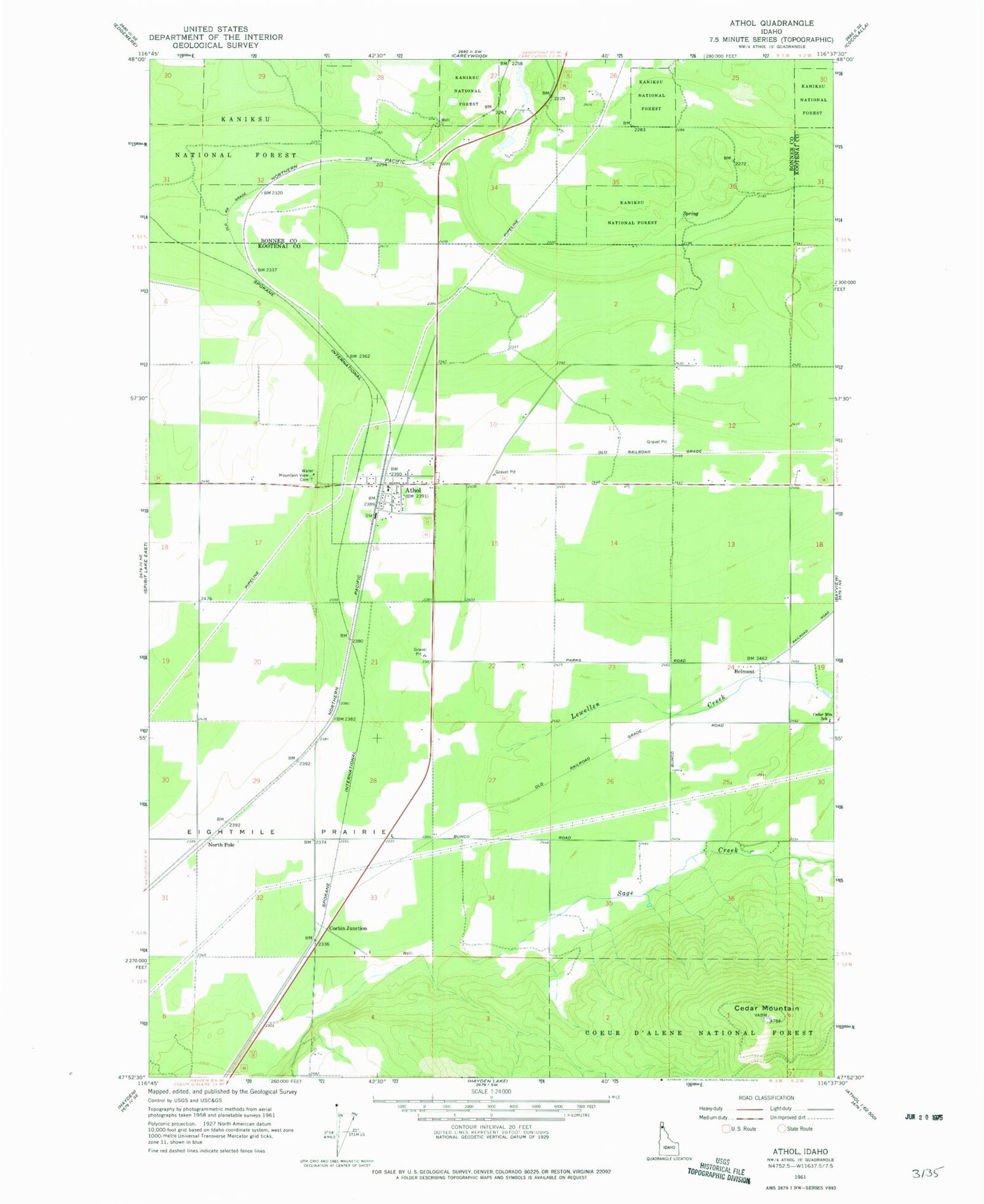
Classic USGS Athol Idaho 7.5'x7.5' Topo Map
Couldn't load pickup availability
Historical USGS topographic quad map of Athol in the state of Idaho. Map scale may vary for some years, but is generally around 1:24,000. Print size is approximately 24" x 27"
This quadrangle is in the following counties: Bonner, Kootenai.
The map contains contour lines, roads, rivers, towns, and lakes. Printed on high-quality waterproof paper with UV fade-resistant inks, and shipped rolled.
Contains the following named places: Athol, Athol Elementary School, Athol Post Office, Belmont, Cedar Mountain, Cedar Mountain School, Cedar Mountain Sky Ranch, City of Athol, Corbin Junction, Eightmile Prairie, Granite Airport, Hackney Airpark, Henley Airstrip, Hoodoo Rest Area, Lewellen Creek, Mountain View Cemetery, North Pole, Rock Spring, Sage Creek, Sheef Spring, Silverwood Airport, Spirit Lake-Athol Division, Timberlake Fire Protection District Station 1, Timberlake Fire Protection District Station 2, Timberlake Fire Protection District Station 3, Western Spur Airport, Wright, ZIP Code: 83801