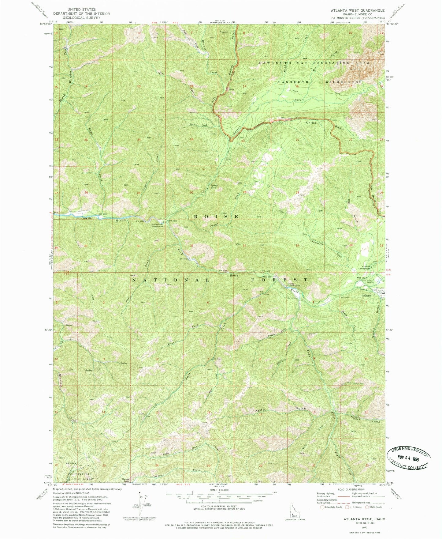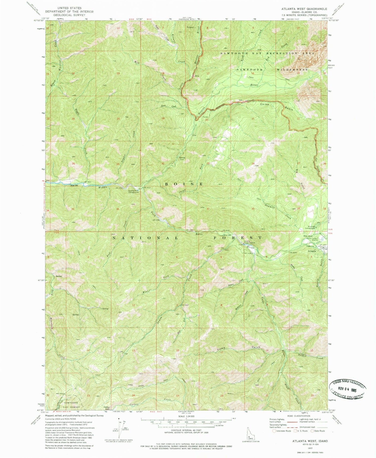
MyTopo
Classic USGS Atlanta West Idaho 7.5'x7.5' Topo Map
Couldn't load pickup availability
Historical USGS topographic quad map of Atlanta West in the state of Idaho. Map scale may vary for some years, but is generally around 1:24,000. Print size is approximately 24" x 27"
This quadrangle is in the following counties: Elmore.
The map contains contour lines, roads, rivers, towns, and lakes. Printed on high-quality waterproof paper with UV fade-resistant inks, and shipped rolled.
Contains the following named places: Alturas City, Atlanta, Atlanta Airport, Atlanta Guard Station, Atlanta Power Station, Atlanta Rural Fire Protection District, Basque Creek, Big Gulch, Black Warrior Creek Trail, Browns Creek, Camp Gulch, China Basin, China Fork, Decker Creek, Eagle Creek, East Fork James Creek, Fall Creek, James Creek, James Creek Summit, Kid Creek, King Creek, Little Queens River, McGuire Creek, Mill Creek, Montezuma Creek, Quartz Gulch, Queens River, Queens River Campground, Rabbit Creek, Right Creek, Riverside Campground, Sawmill Creek, Snyder Creek, Steep Creek, Trail Creek, West Fork James Creek, Yuba City, Yuba River