
MyTopo
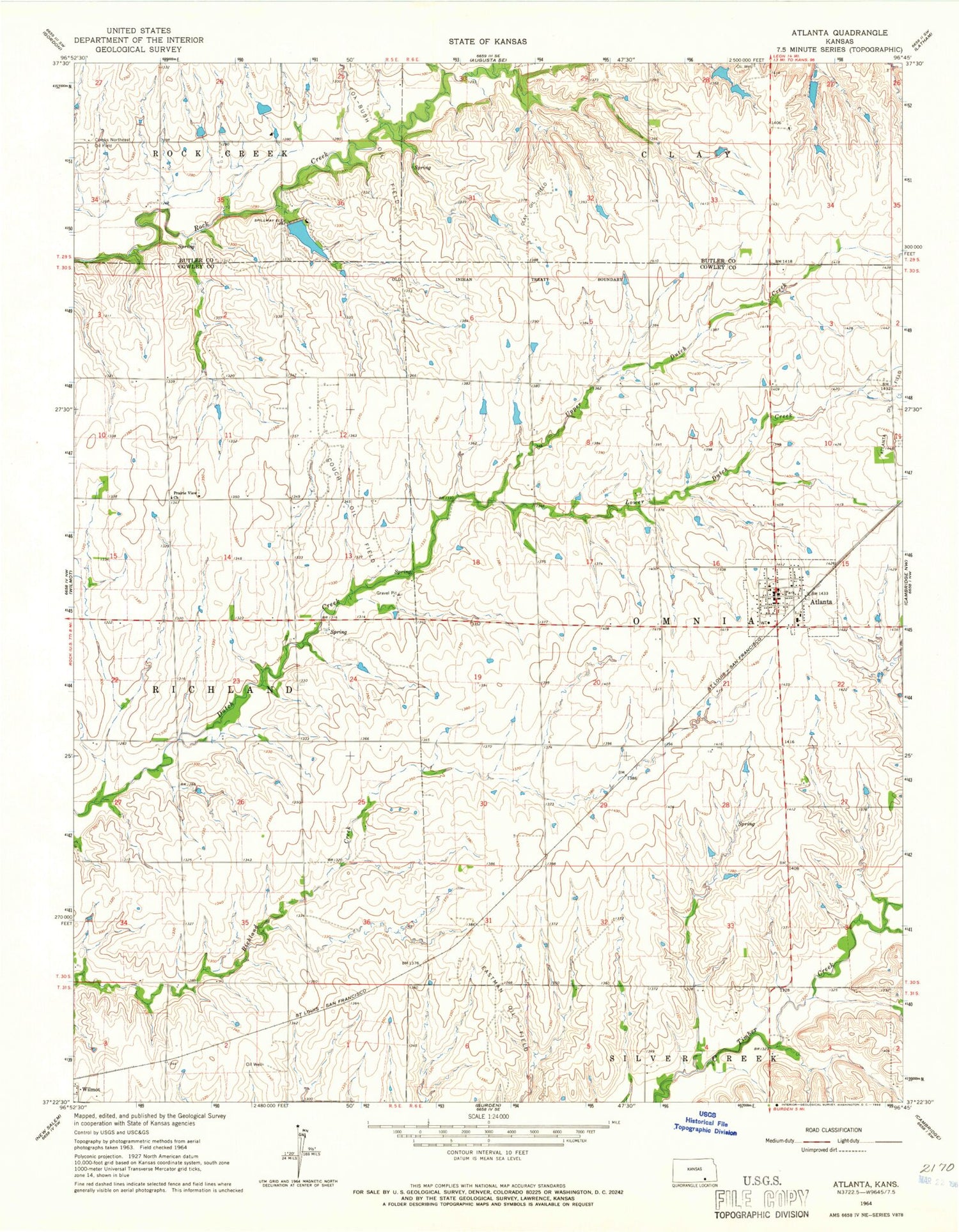
Classic USGS Atlanta Kansas 7.5'x7.5' Topo Map
Couldn't load pickup availability
Historical USGS topographic quad map of Atlanta in the state of Kansas. Map scale may vary for some years, but is generally around 1:24,000. Print size is approximately 24" x 27"
This quadrangle is in the following counties: Butler, Cowley.
The map contains contour lines, roads, rivers, towns, and lakes. Printed on high-quality waterproof paper with UV fade-resistant inks, and shipped rolled.
Contains the following named places: Atlanta, Atlanta Christian Church, Atlanta Post Office, Atlanta Wastewater Treatment Plant, Cedar Fork, City of Atlanta, Clay Oil Field, Combs Northeast Oil Field, Couch Oil Field, Cowley County Fire District 2 Atlanta, Eastman Oil Field, Green Valley School, Lower Dutch Creek, Omnia School, Polo School, Prairie View Church, Summit School, Township of Omnia, Upper Dutch Creek, ZIP Code: 67008


