MyTopo
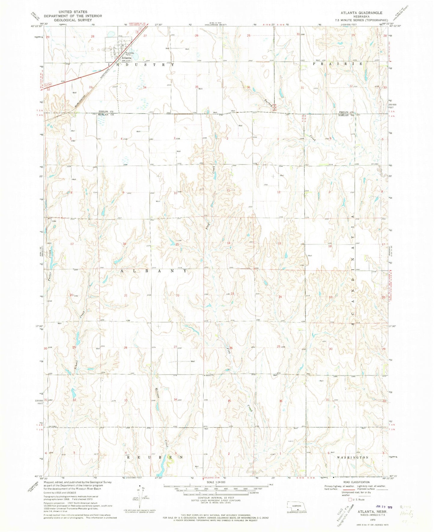
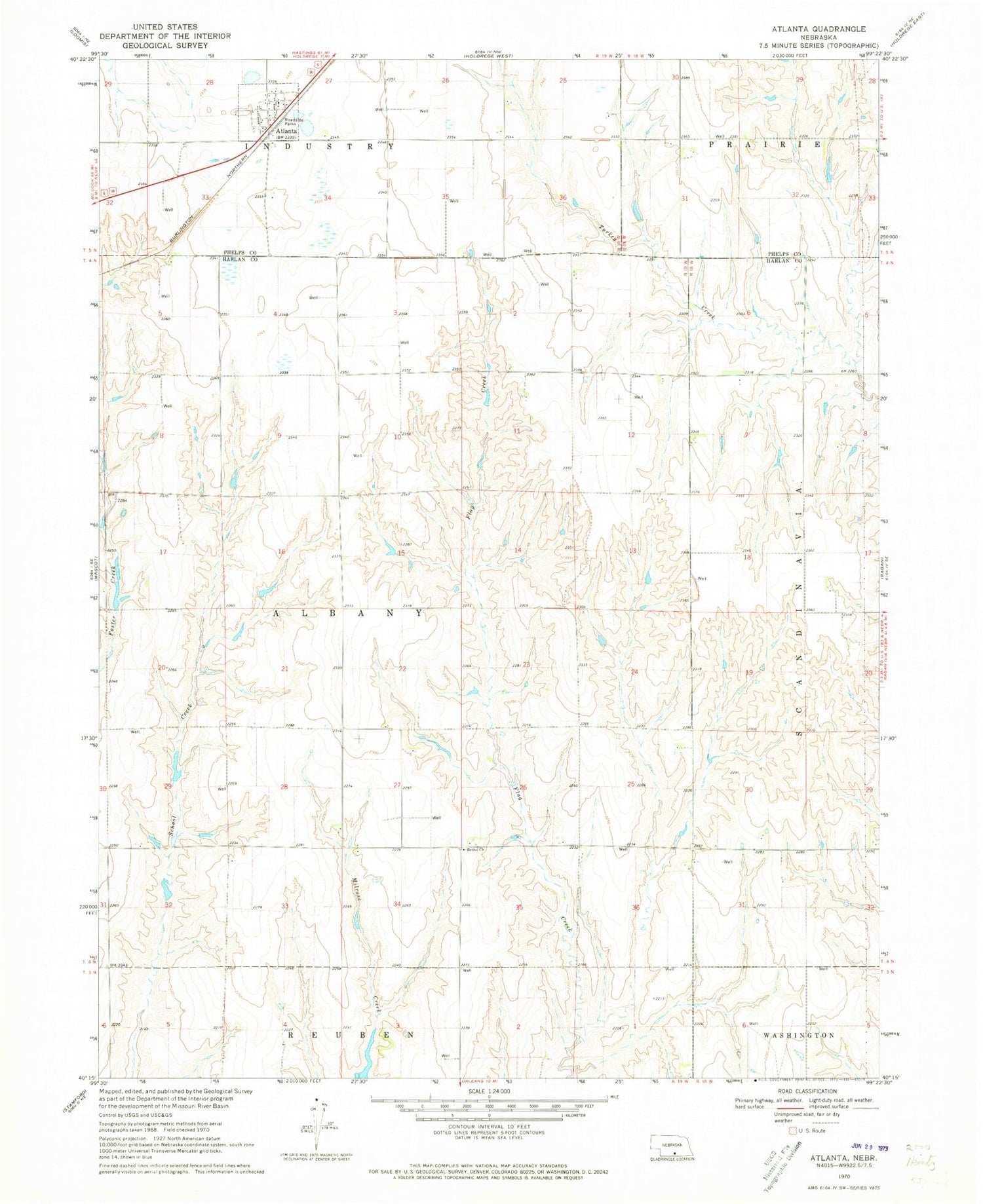
Classic USGS Atlanta Nebraska 7.5'x7.5' Topo Map
Couldn't load pickup availability
Historical USGS topographic quad map of Atlanta in the state of Nebraska. Map scale may vary for some years, but is generally around 1:24,000. Print size is approximately 24" x 27"
This quadrangle is in the following counties: Harlan, Phelps.
The map contains contour lines, roads, rivers, towns, and lakes. Printed on high-quality waterproof paper with UV fade-resistant inks, and shipped rolled.
Contains the following named places: Atlanta, Atlanta Elevator, Atlanta Post Office, Atlanta United Methodist Church, Bethel Church, Carter-David East Dam, Carter-David East Reservoir, Carter-David West Dam, Carter-David West Reservoir, Einspahr Dam, Einspahr Reservoir, McDonald Dam, McDonald Reservoir, Milrose David Dam Number 2, Milrose David Reservoir Number 2, Peterson North Dam, Peterson North Reservoir, Peterson South Dam, Peterson South Reservoir, Township of Albany, Village of Atlanta, ZIP Code: 68923