MyTopo
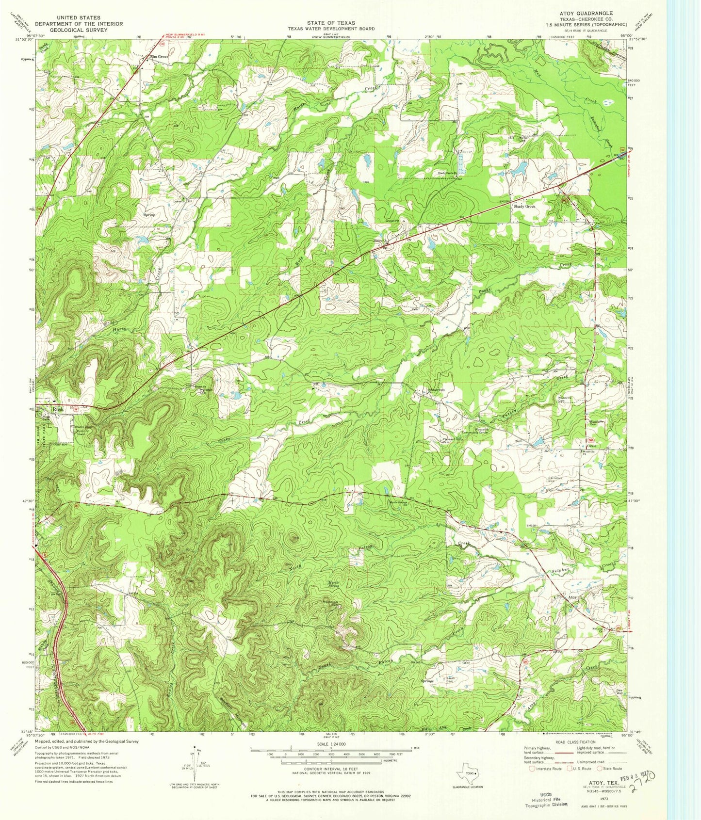
Classic USGS Atoy Texas 7.5'x7.5' Topo Map
Couldn't load pickup availability
Historical USGS topographic quad map of Atoy in the state of Texas. Map scale may vary for some years, but is generally around 1:24,000. Print size is approximately 24" x 27"
This quadrangle is in the following counties: Cherokee.
The map contains contour lines, roads, rivers, towns, and lakes. Printed on high-quality waterproof paper with UV fade-resistant inks, and shipped rolled.
Contains the following named places: Atoy, Bethel Church, Blounts Church, Bradford Mountain, Circle, Cornelius Cemetery, Elm Grove, Hogg Cemetery, Jim Hogg State Historical Park Trail, Lowes Church, Macedonia Cemetery, Meredith Cemetery, Mount Cove Church, Mule Creek, Myrtle Spring, Myrtle Springs Church, North Falcon Creek, Pleasant Holly Cemetery, Pleasant Holly Church, Rusk Lookout Tower, Rutherford Slough, Shady Grove, Shady Grove Church, Smith Cemetery, South Falcon Creek, Walker Cemetery, Woodville Cemetery, Woodville Church, Woodville Community Center


