MyTopo
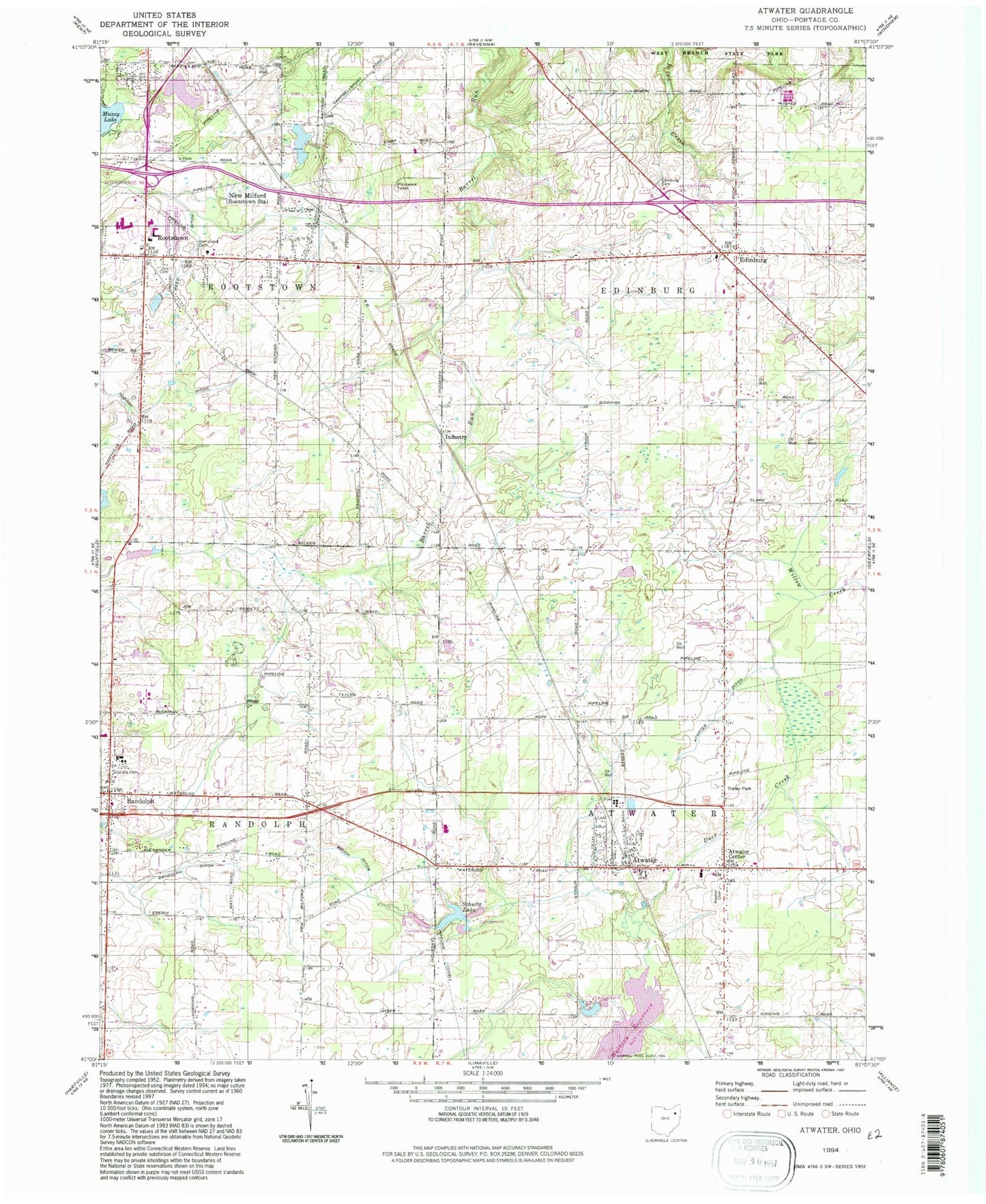
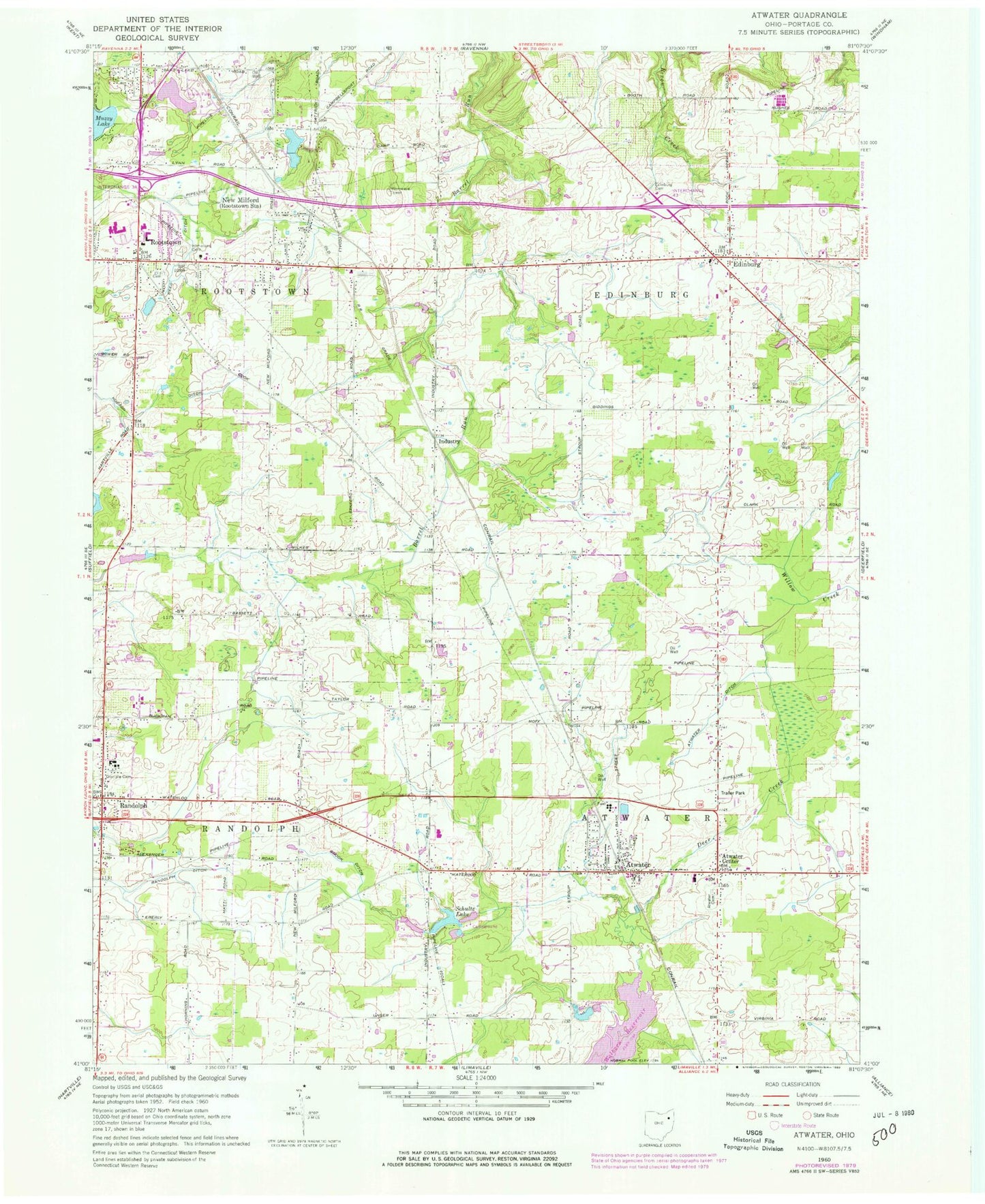
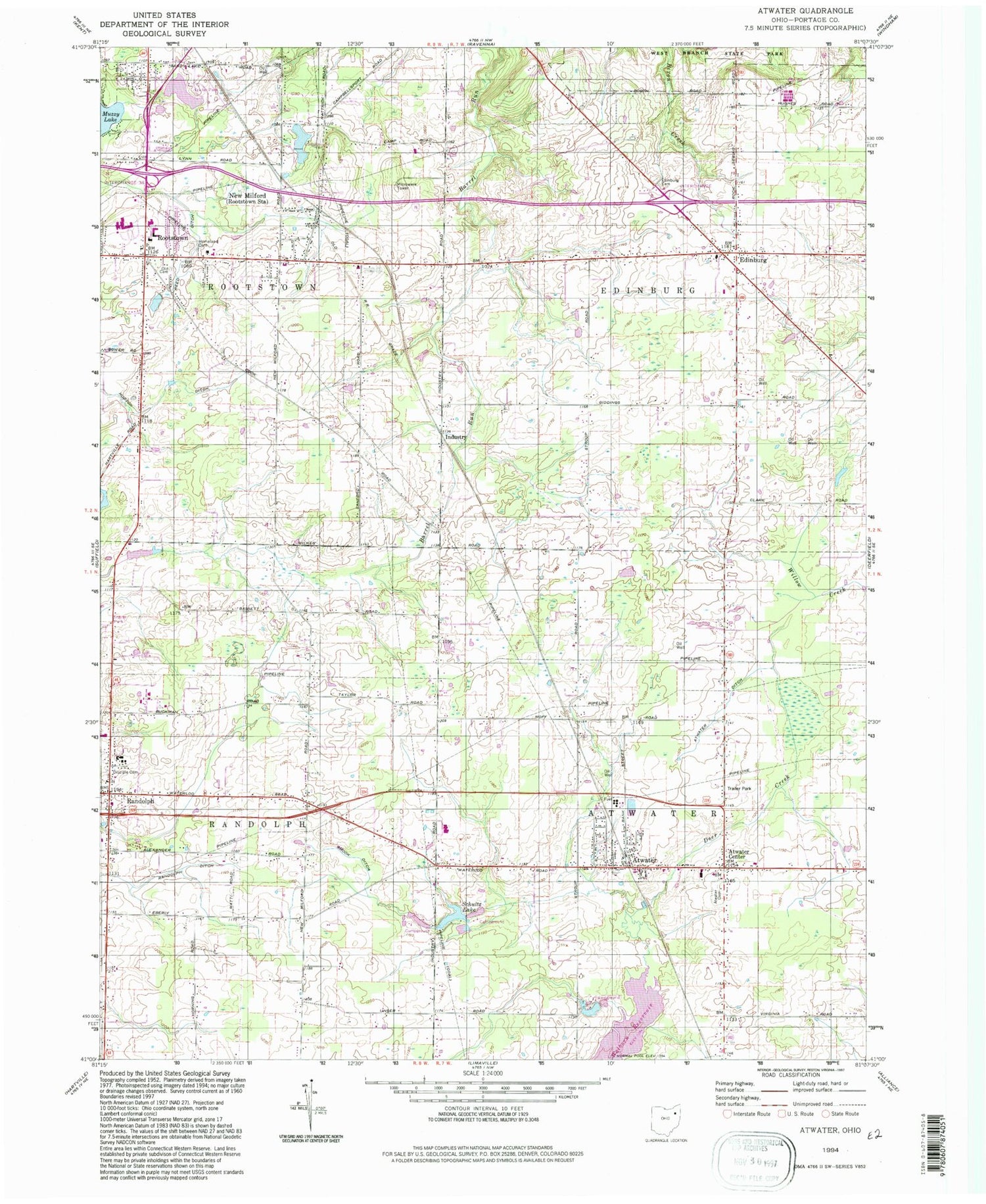
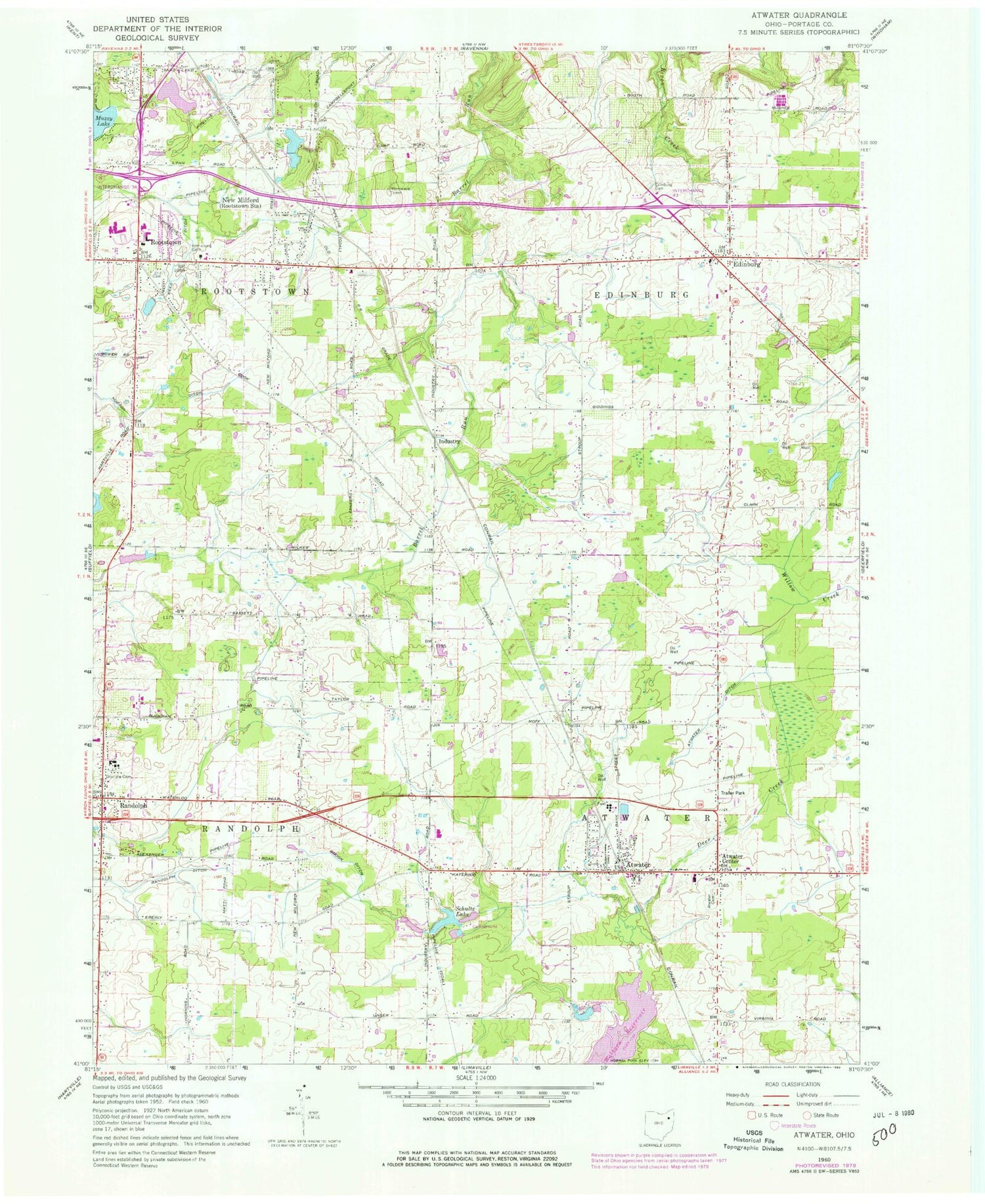
Classic USGS Atwater Ohio 7.5'x7.5' Topo Map
Couldn't load pickup availability
Historical USGS topographic quad map of Atwater in the state of Ohio. Map scale is 1:24000. Print size is approximately 24" x 27"
This quadrangle is in the following counties: Portage.
The map contains contour lines, roads, rivers, towns, and lakes. Printed on high-quality waterproof paper with UV fade-resistant inks, and shipped rolled.
Contains the following named places: Atwater, Atwater Cemetery, Atwater Census Designated Place, Atwater Center, Atwater Congregational Church, Atwater Ditch, Atwater Fire Department, Atwater Post Office, Bertha Bradshaw Elementary School, Countrywide Estates, Disciple Cemetery, Edinburg, Edinburg Cemetery, Edinburg Fire Department, Edinburg Post Office (historical), Edinburg United Church of Christ, Evergreen School (historical), Fairacres Farms, Five Corners, Gay Airport (historical), Haska Fur Farm, Homeland Cemetery, Industry, Industry Post Office (historical), L and M Mold Corporation Airport (historical), Mable Schnee Middle School, Marlee Farm, May's Farm, New Milford, New Milford Creek, New Milford Post Office (historical), Northeastern Ohio University College of Medicine, Oak Tree Farm, Ohio Farmettes Lake, Ohio Farmettes Lake Dam, Old Cemetery, Randolph, Randolph Christian Church, Randolph Ditch, Randolph Post Office, Randolph Township Fire Department, Reed Ditch, Rootstown, Rootstown Congregational Church, Rootstown Fire Department, Rootstown Post Office, Rootstown United Methodist Church, Schultz Lake, Schultz Lake Dam, Shook Ditch, Stone Meadow Farm, Stroup Farms, Township of Atwater, Township of Edinburg, Township of Randolph, Township of Rootstown, Valley Hills, Ward Davis High School, Waterloo High School, Waterloo Middle School, Waterloo Primary School, Wise Farms


