MyTopo
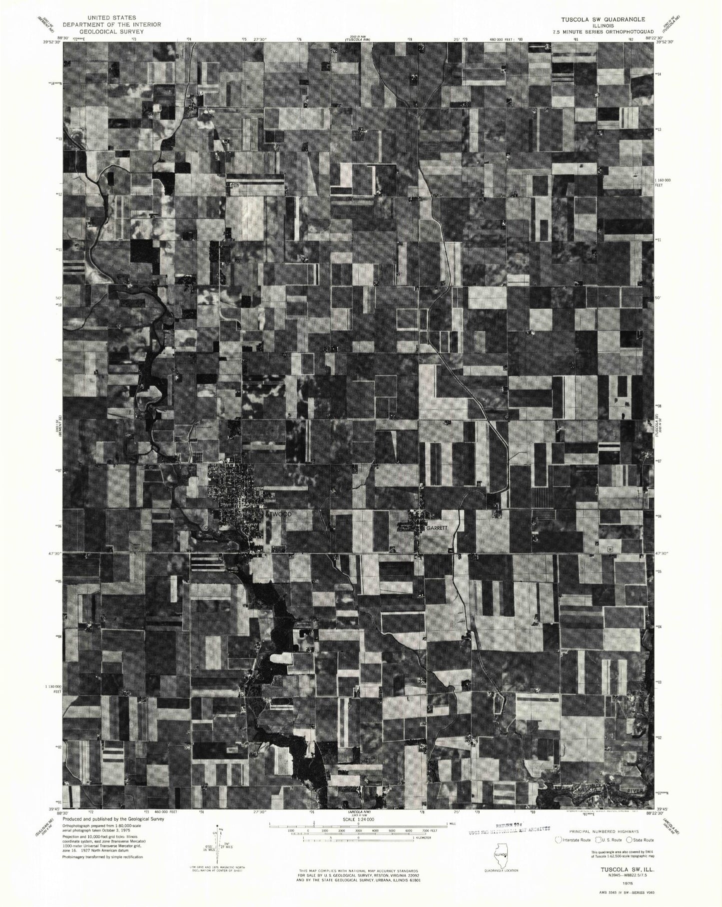
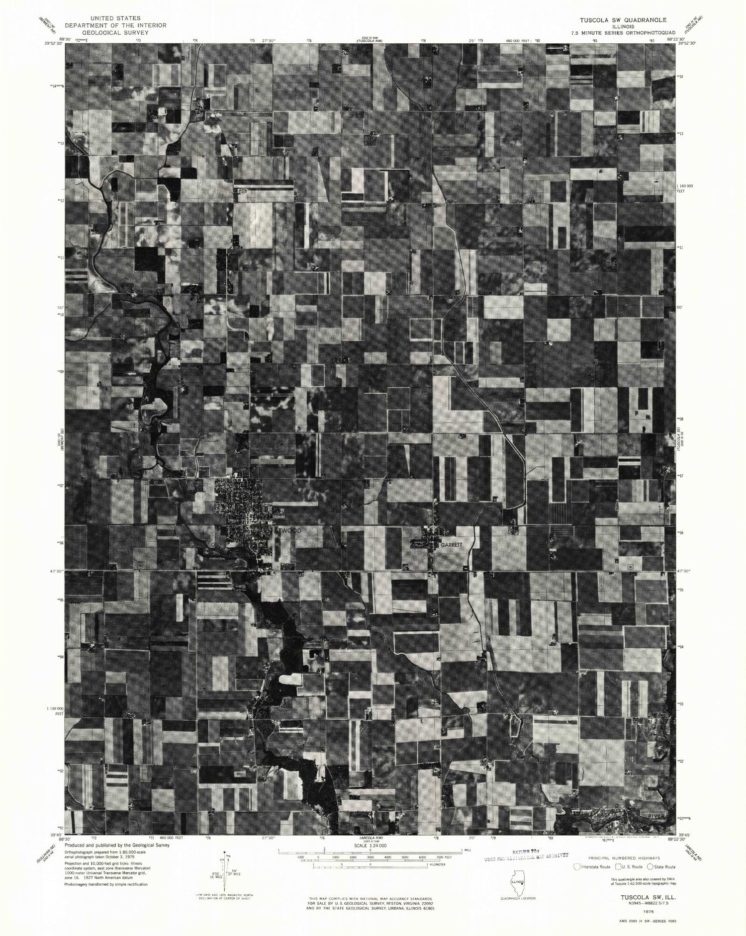
Classic USGS Atwood Illinois 7.5'x7.5' Topo Map
Couldn't load pickup availability
Historical USGS topographic quad map of Atwood in the state of Illinois. Map scale may vary for some years, but is generally around 1:24,000. Print size is approximately 24" x 27"
This quadrangle is in the following counties: Douglas, Moultrie, Piatt.
The map contains contour lines, roads, rivers, towns, and lakes. Printed on high-quality waterproof paper with UV fade-resistant inks, and shipped rolled.
Contains the following named places: Antioch Cemetery, Atwood, Atwood Fire Department, Atwood Park, Atwood Police Department, Atwood Post Office, Atwood-Hammond Elementary School, Atwood-Hammond High School, Bourbon Cemetery, Bragg Landing Strip, Cooch Landing Area, Dry Fork, Eureka School, First Baptist Church, Garrett, Kamm Airport, Lake Fork Cemetery, Lake Fork United Church of Christ, Macedonia Church, Mackville, Mackville Cemetery, Moore Cemetery, Neutral Ditch, Richey Park, Taylor Cemetery, Township of Garrett, United Church of Atwood, Village of Atwood, Village of Garrett, Zion Church, ZIP Code: 61913