MyTopo
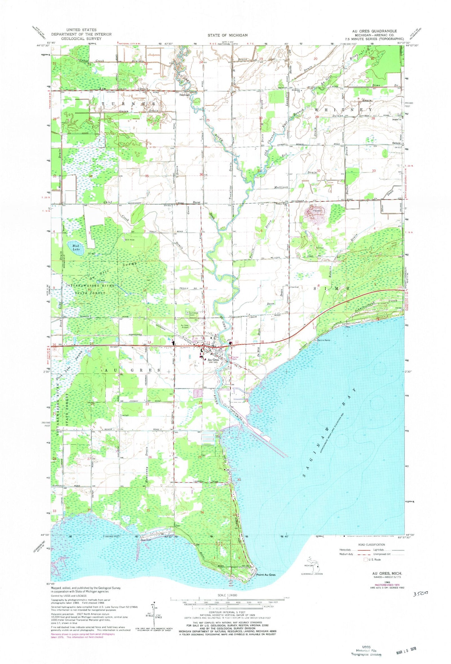
Classic USGS Au Gres Michigan 7.5'x7.5' Topo Map
Couldn't load pickup availability
Historical USGS topographic quad map of Au Gres in the state of Michigan. Map scale may vary for some years, but is generally around 1:24,000. Print size is approximately 24" x 27"
This quadrangle is in the following counties: Arenac.
The map contains contour lines, roads, rivers, towns, and lakes. Printed on high-quality waterproof paper with UV fade-resistant inks, and shipped rolled.
Contains the following named places: Arenac County, Arenac County Emergency Medical Services Au Gres, Arenac County Historical Society Museum, Au Gres, Au Gres - Sims - Whitney Fire Department Au Gres, Au Gres Airport, Au Gres Boat Club, Au Gres Care Clinic, Au Gres City Park, Au Gres Library, Au Gres Medical Clinic, Au Gres Post Office, Au Gres River, Au Gres Saint Joseph Family Clinic, Au Gres Sims Elementary School, Au Gres State Dock, Au Gres Station, Au Gres Swamp, Au Gres Townhall, Baum Drain, Bum Drain, Burnt Drain, Cedar Creek Drain, Chief Creek Drain, City of Au Gres, De Witt Drain, Delano, Delano Church, Delano Drain, Dixie H Drain, Dollar Drain, Duck Lake, Duck Lake Swamp, Full Gospel Lighthouse Church, Geese Drain, Hemenway Drain, Indian Burial Ground, Laundrie Drain, Linwood Cemetery, Marble Drain, Mattison Drain, Mosquito Drain, Mud Lake, North Port Marina, Old Channel East Branch Au Gres River, Onion Drain, Perrin Drain, Point Au Gres Marina, Point Lookout Harbor, Red Drain, Riverside Church, Roberts Drain, Saint Johns Lutheran Church, Saint Mark Catholic Church, Saint Paul Lutheran Church, Santiago, Santiago Post Office, Schnitzelbank Creek, Sims Townhall, Sims Township Police Department, Tonkey Road Church, Townline Drain, Township of Au Gres, Township of Turner, United Methodist Church, ZIP Code: 48703


