MyTopo
Classic USGS Auberry California 7.5'x7.5' Topo Map
Couldn't load pickup availability
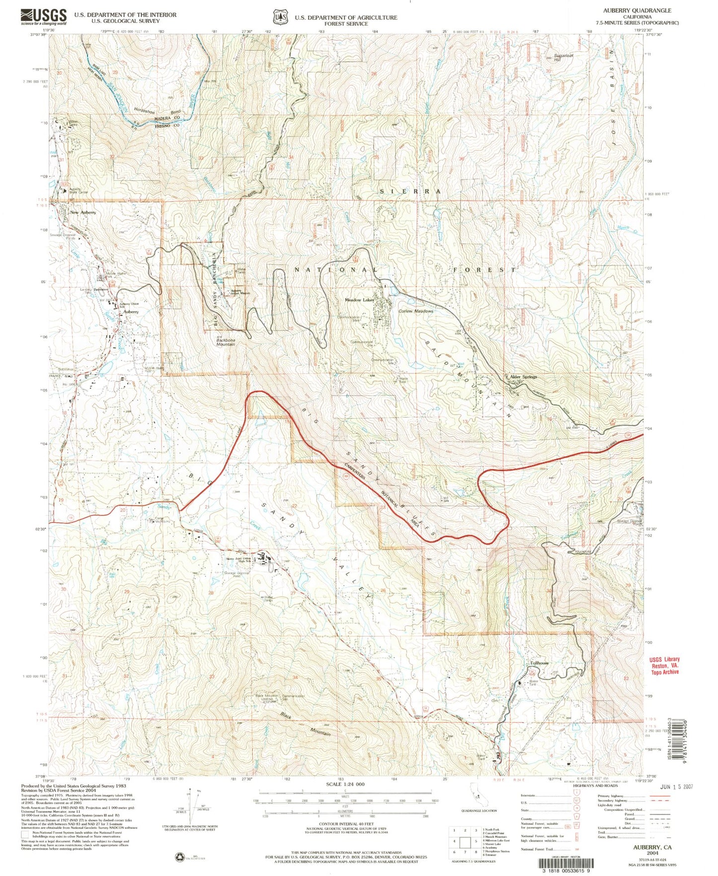
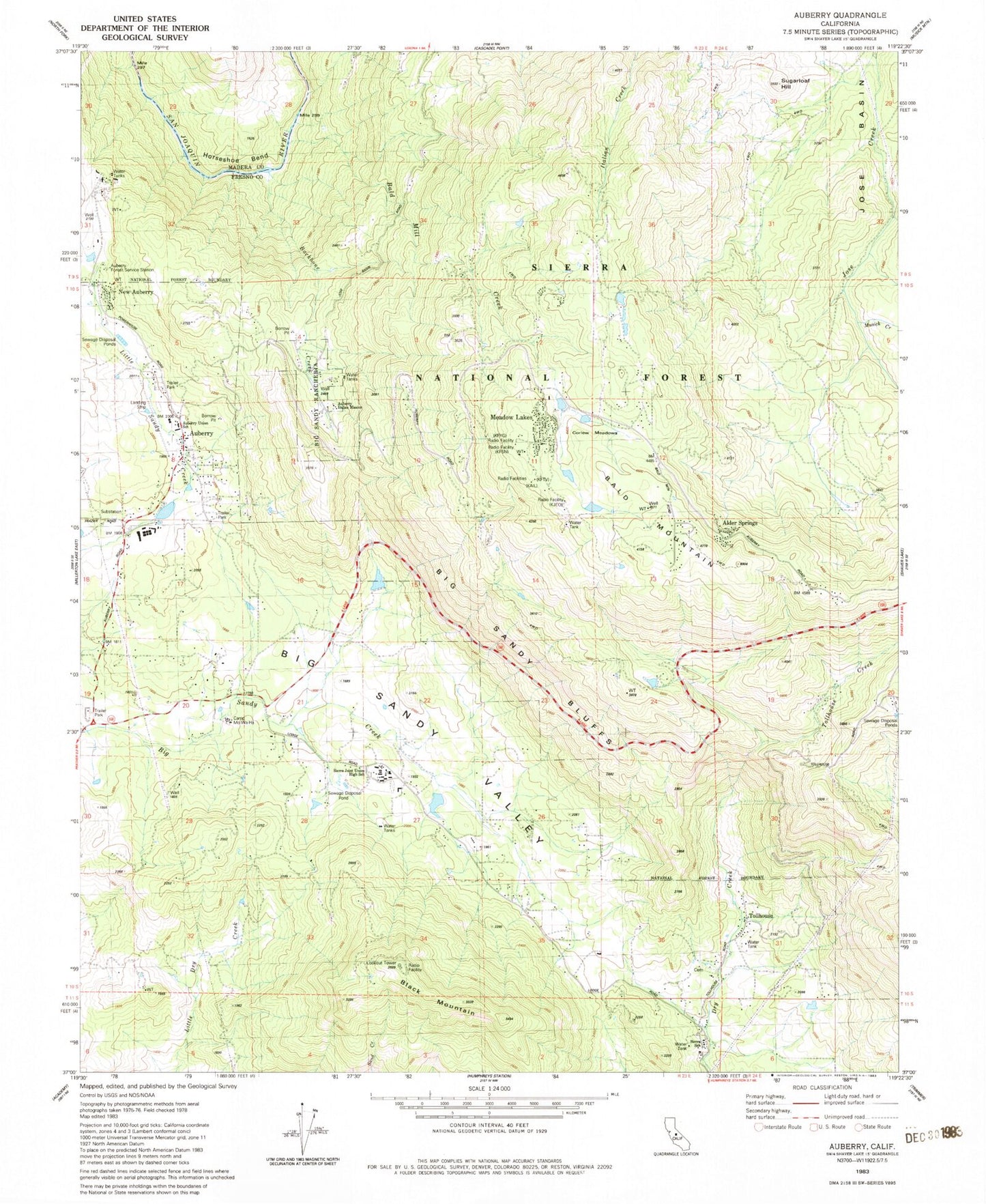
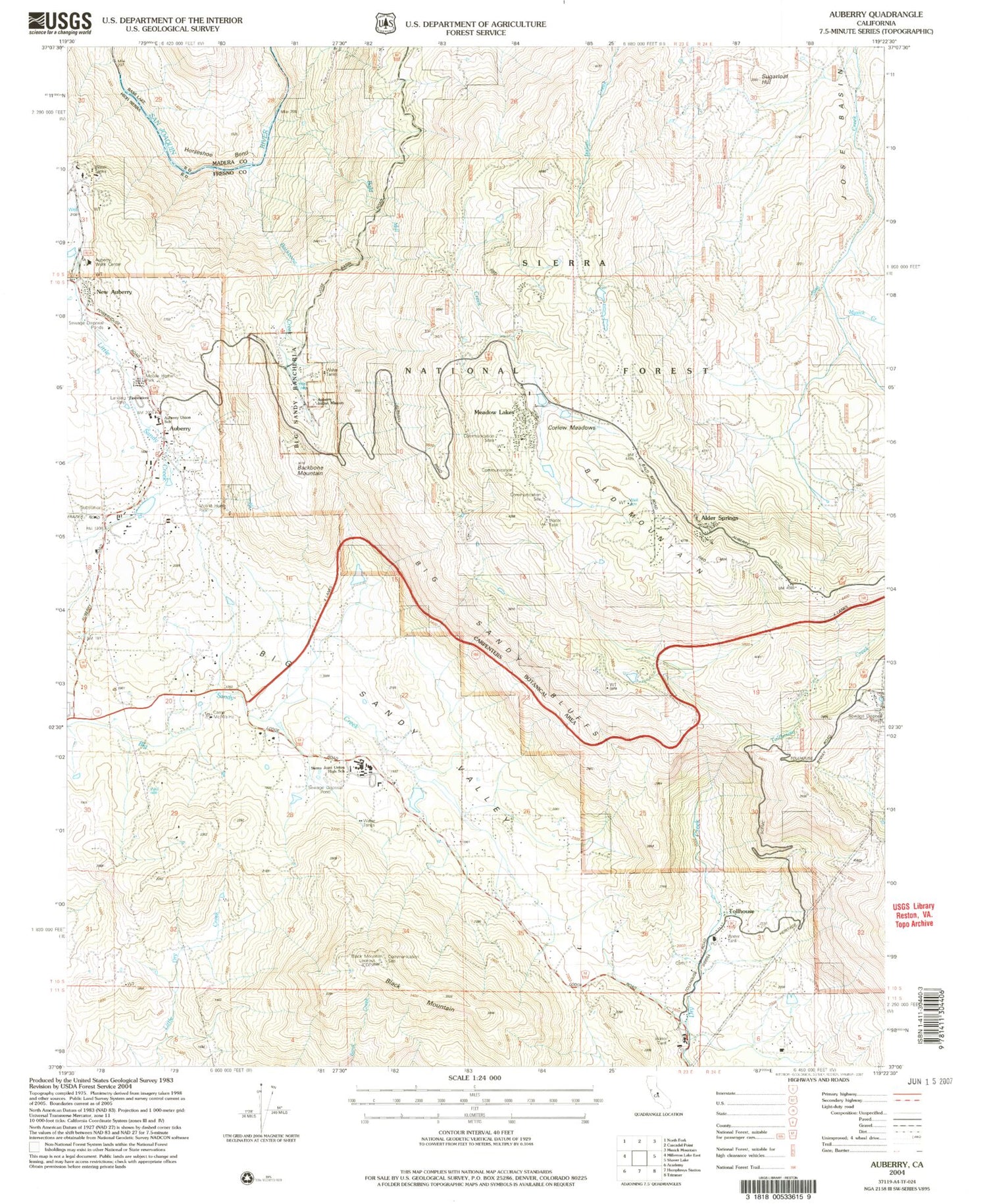
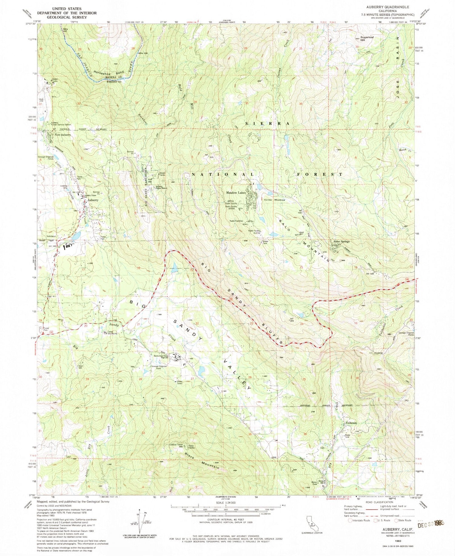
Historical USGS topographic quad map of Auberry in the state of California. Map scale is 1:24000. Print size is approximately 24" x 27"
This quadrangle is in the following counties: Fresno, Madera.
The map contains contour lines, roads, rivers, towns, and lakes. Printed on high-quality waterproof paper with UV fade-resistant inks, and shipped rolled.
Contains the following named places: Alder Springs, Auberry, Auberry Census Designated Place, Auberry Elementary School, Auberry Forest Service Station, Auberry Guard, Auberry Hydro Service Center Heliport, Auberry Indian Mission, Auberry Post Office, Auberry Volunteer Fire Department, Backbone Creek, Backbone Creek Research Natural Area, Backbone Mountain, Bald Mill Creek, Bald Mountain, Bald Mountain Volunteer Fire Department, Big Sandy Bluff, Big Sandy Rancheria, Black Mountain, Black Mountain Lookout, Camp Mo-Wa-Ha, Carpenteria Botanical Area, Corlew Meadows, DRFM Radio Station, Foothill Middle School, Fresno County Sheriff's Office Substation, Horseshoe Bend, Jose Basin, KFCF-FM (Fresno), KFNO-FM (Fresno), KFSN-TV (Fresno), KFTV-TV (Hanford), KFYE-FM (Fresno), KJEO-TV (Fresno), KKDJ-FM (Fresno), KMSG-TV (Sanger), KNAX-FM (Fresno), KQPW-FM (Fresno), KVPR-FM (Fresno), KXDR-FM (Auberry), Lerona Fire Lane, Meadow Lakes, Musick Creek, New Auberry, Sierra Elementary School, Sierra High School, Sugarloaf Hill, Tollhouse, Tollhouse Cemetery, Tollhouse Creek, Tollhouse Post Office, Wish-I-Ah Sanatorium


