MyTopo
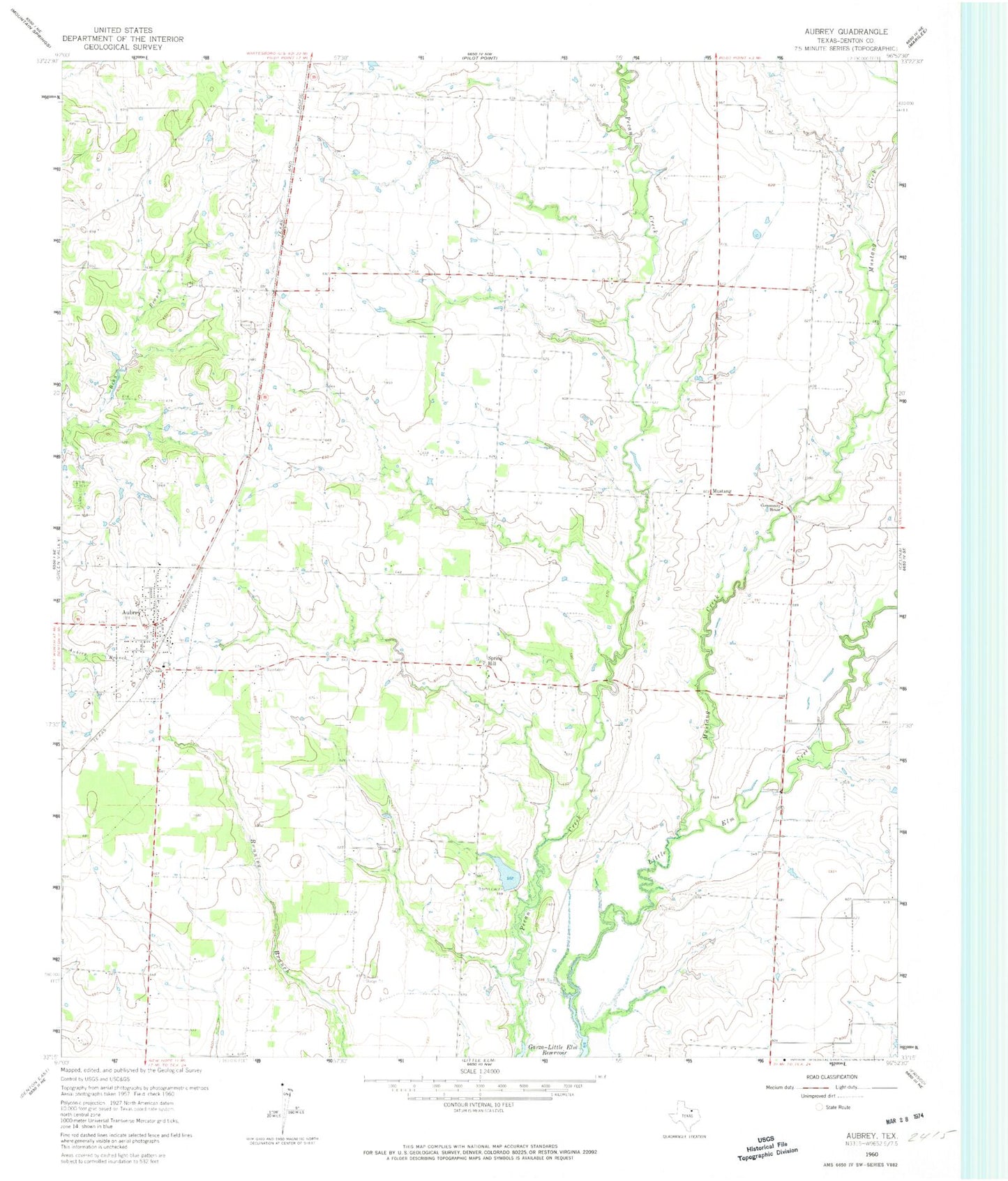
Classic USGS Aubrey Texas 7.5'x7.5' Topo Map
Couldn't load pickup availability
Historical USGS topographic quad map of Aubrey in the state of Texas. Typical map scale is 1:24,000, but may vary for certain years, if available. Print size: 24" x 27"
This quadrangle is in the following counties: Denton.
The map contains contour lines, roads, rivers, towns, and lakes. Printed on high-quality waterproof paper with UV fade-resistant inks, and shipped rolled.
Contains the following named places: Aubrey, Mustang Creek, Mustang, Spring Hill, Pleasure Field, Krugerville, Carr Lake Dam, Carr Lake, Pickens Dam, Pickens Lake, Moore Lake Dam, Moore Lake, Pilot Point-Aubrey Division, Aubrey Elementary School, Aubrey High School, Aubrey Middle School, Methodist First United Church, Church of Christ Aubrey, First Baptist Church, Chaparral Stadium, City of Aubrey, City of Krugerville, Aubrey Fire Department Station 1, Aubrey Area Ambulance, Weems Farm Airport, Mustang Community Airfield, Venable Airpark, Aubrey Post Office, Northeast Police Department, Aubrey Police Department, Belew Cemetery