MyTopo
Classic USGS Auburn Alabama 7.5'x7.5' Topo Map
Couldn't load pickup availability
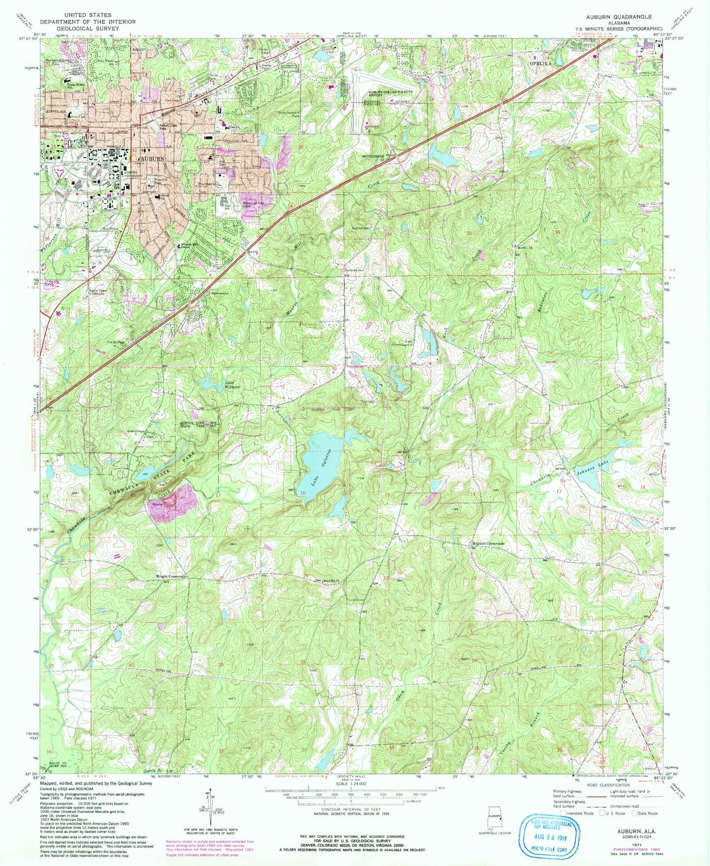
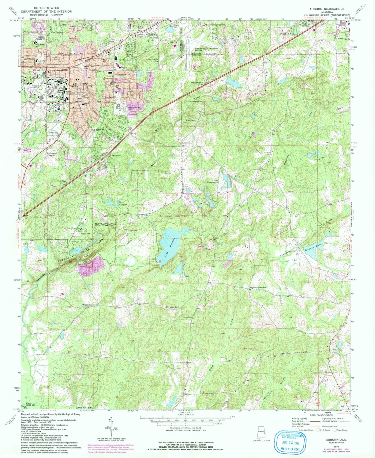
Historical USGS topographic quad map of Auburn in the state of Alabama. Typical map scale is 1:24,000, but may vary for certain years, if available. Print size: 24" x 27"
This quadrangle is in the following counties: Lee, Macon.
The map contains contour lines, roads, rivers, towns, and lakes. Printed on high-quality waterproof paper with UV fade-resistant inks, and shipped rolled.
Contains the following named places: Auburn, Auburn University, Chewacla State Park, Drake High School, Duck Samford Park, Fenton Little Park, Baptist Hill Cemetery, Memorial Park Cemetery, Moores Mill Creek, Nash Creek, Lake Ogletree, Parkerson Mill Creek, Pine Hill Cemetery, Robinson Creek, Southside School, Westview Cemetery, Lake Wilmore, Auburn University Regional Airport, Lazenby Lake, Roy Lazenby Dam, Murphy Dam, Cress Outing Club Lake, Ogletree Number Two Dam, Auburn City Lake, Lake Ogletree Number One Dam, Chewacla State Park Dam, Chewacla State Park Lake, Johnson Lake Dam, Lake Whatley, Auburn Outing Club Lake, Auburn Outing Club Dam, Wilmore Dam, M M Jones Dam, Hamilton Dam, Prather Dam, Country Club Dam, Sougahatchee Lake, Airview Baptist Church, Airview Heights Community Church of God, Auburn High School, Auburn Junior High School, Auburn Public School (historical), Bailey Park, Barksdale Lake, Bent Creek, Camp Auburn, Cary Woods, Chamlee Cemetery, Church of Christ, Cloverleaf, Colonial Acres, Corner Village Shopping Center, Country Hills, Davis Lake, Draughon Library, Dukes Pond, First Baptist Church, Forestdale, Glen Haven, Glendean Shopping Center, Greg Lake, Hallway, Hamilton Lake, Indian Hills, Indian Pines Country Club, Jones Lake, Jordan-Hare Stadium, Lakeview Baptist Church, Lee County High School (historical), Longwood School (historical), Market Square Shopping Center, Beard - Eaves - Memorial Coliseum, Mezicks Pond, Mitchell School (historical), Mount Calvery School (historical), Mount Moriah School (historical), Mount Olive Cemetery, Neals Pond, Oak Hollow, Orr Estates, Orr Estates Lake, Orr Estates Pond, Prather Lake, Presbyterian Church Number One (historical), Sacred Heart Catholic Church, Scott Industrial Park, Shelton Woods, Southside Shopping Center, Stansons Lake, Tanglewood, Terrace Acres, Town and Country, Trinity Lutheran Church, Twin Creeks, Union Crossroads, University Estates, Whatley Mill, Whipporwill Estates, Windsor Forest, Windway, Woodfield, Woodland, Woodland Hills, Saint Lukes Christian Methodist Episcopal Church, Johnson Lake, Lee School, Mount Olive Primitive Baptist Church, Auburn Assembly of God Church, Auburn United Methodist Church, Green Chapel Cemetery, Hollifield Memorial Library, Parkway Baptist Church, Village Christian Church, White Street Baptist Church, Grace United Methodist Church, Holy Trinity Episcopal Church, Lees Chapel African Methodist Episcopal Church, First Presbyterian Church of Auburn, Mitchell Crossroads, Wright Crossroads, Auburn University Historic District, Ebenezer Missionary Baptist Church, Old Main and Church Street Historic District, WEGL-FM (Auburn), Bell Baptist Church, Community Church of Jesus of the Apostolic Faith, Grace Church, Green Chapel Missionary Baptist Church, Sand Hill Baptist Church, Alnoname One Dam, Boykin Middle School, Cary Woods Elementary School, Dean Road Elementary School, Wrights Mill Road Elementary School, Auburn Post Office, City of Auburn, McWhorter Center, Hutsell Track, Watson Fieldhouse, Wilson Livestock Arena, Jule Collins Smith Museum of Fine Art, Donald E Davis Arboretum, M W Smith Hall, Funchess Hall, Comer Hall, Upchurch Hall, Swingle Hall, Corley Building, Duncan Hall, Extension Hall, Mell Hall, Spidle Hall, Mary Martin Hall, Dixon Conference Center, O D Smith Hall, Ingram Hall, Samford Hall, Langdon Hall, Hargis Hall, Biggin Hall, Harbert Center, Haley Center, Thach Hall, Auburn Fire Department Station 1, Auburn Fire Department Station 3, Lee County Sheriff's Office


