
MyTopo
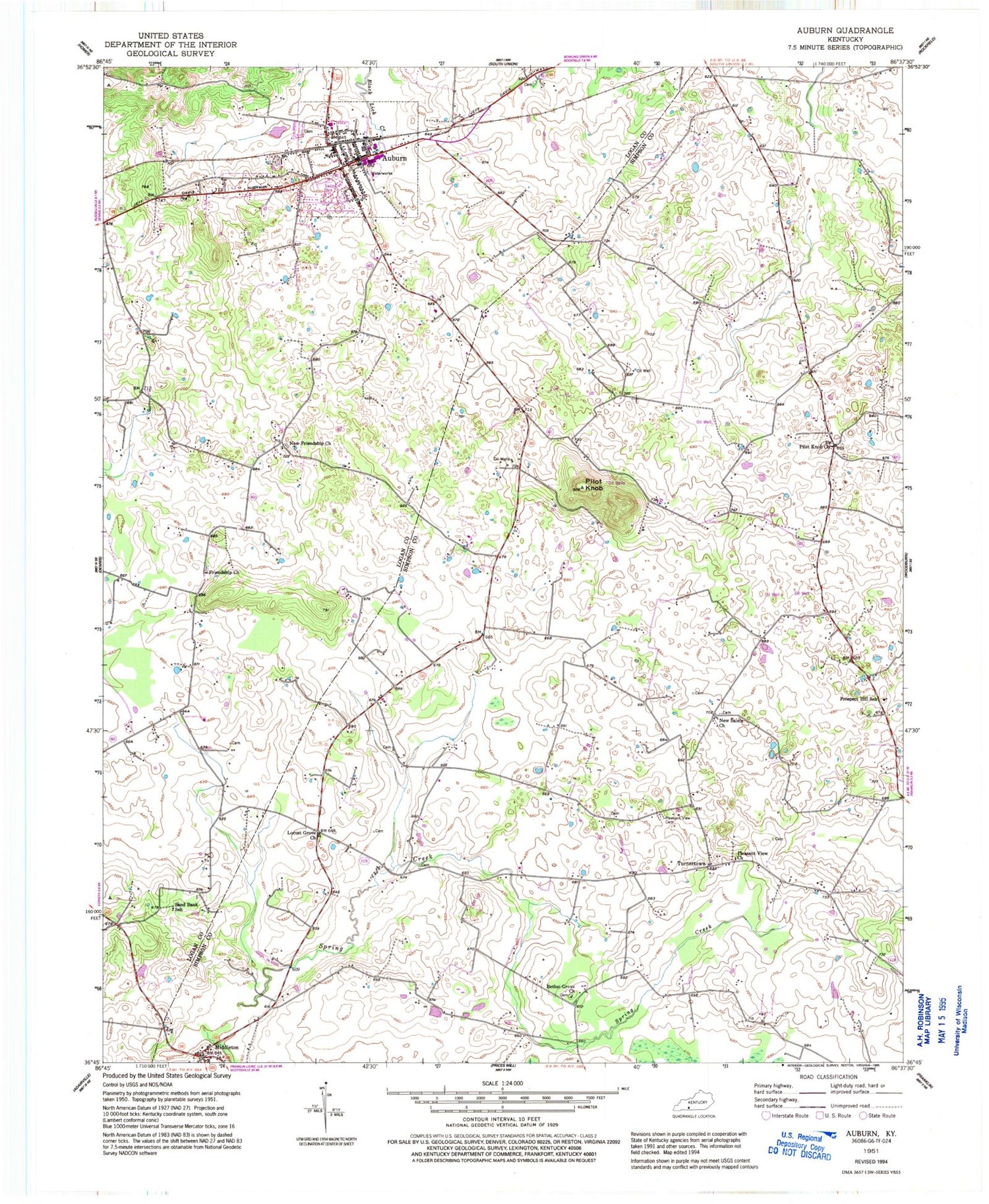
Classic USGS Auburn Kentucky 7.5'x7.5' Topo Map
Couldn't load pickup availability
Historical USGS topographic quad map of Auburn in the state of Kentucky. Map scale may vary for some years, but is generally around 1:24,000. Print size is approximately 24" x 27"
This quadrangle is in the following counties: Logan, Simpson.
The map contains contour lines, roads, rivers, towns, and lakes. Printed on high-quality waterproof paper with UV fade-resistant inks, and shipped rolled.
Contains the following named places: Auburn, Auburn Police Department, Auburn Post Office, Auburn Volunteer Fire Department, Bethel Grove, Bethel Grove Church, City of Auburn, Franklin Division, Friendship, Friendship Church, Knobs, Locust Grove, Locust Grove Church, Logan County Emergency Medical Services, Middleton, New Friendship Church, New Salem, New Salem Church, Pilot Knob, Pilot Knob Church, Pleasant View Cemetery, Pleasant View Church, Prospect Hill, Prospect Hill School, Sand Bank School, Sandtown, Spring Creek, Turnertown


