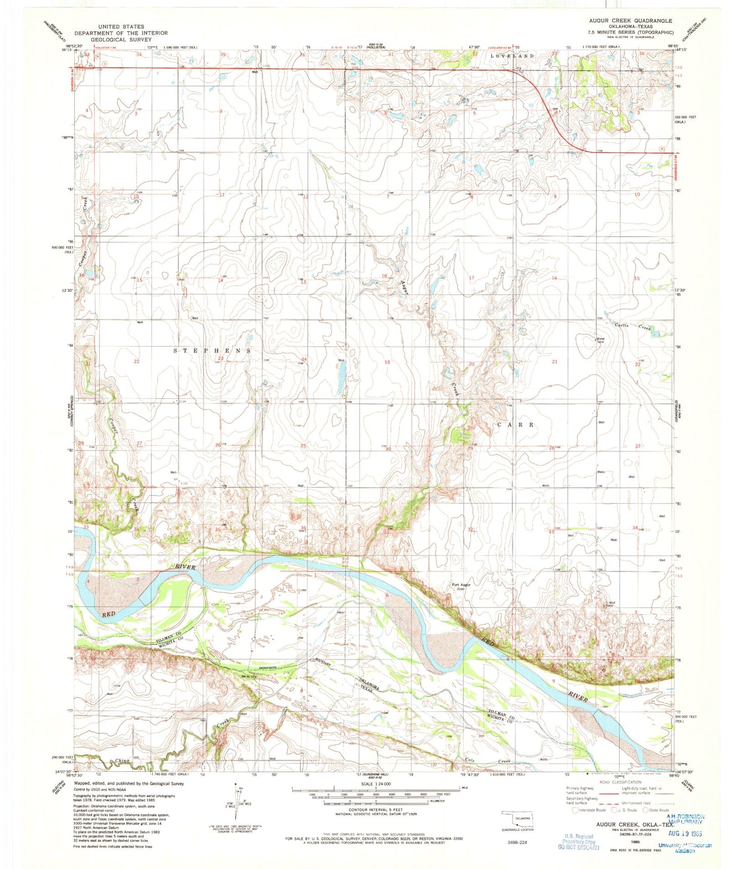
MyTopo
Classic USGS Augar Creek Oklahoma 7.5'x7.5' Topo Map
Regular price
$16.95
Regular price
Sale price
$16.95
Unit price
per
Couldn't load pickup availability
Historical USGS topographic quad map of Augar Creek in the states of Oklahoma, Texas. Map scale may vary for some years, but is generally around 1:24,000. Print size is approximately 24" x 27"
This quadrangle is in the following counties: Tillman, Wichita.
The map contains contour lines, roads, rivers, towns, and lakes. Printed on high-quality waterproof paper with UV fade-resistant inks, and shipped rolled.
Contains the following named places: Adams Creek, Augur Creek, China Creek, Cole Creek, Continental Oil Company Lake, Continental Oil Company Lake Dam, Cooper Creek, Fort Augur, Hammsville Fire Department, Tenth Cavalry Creek, Township of Carr, Township of Stephens