MyTopo
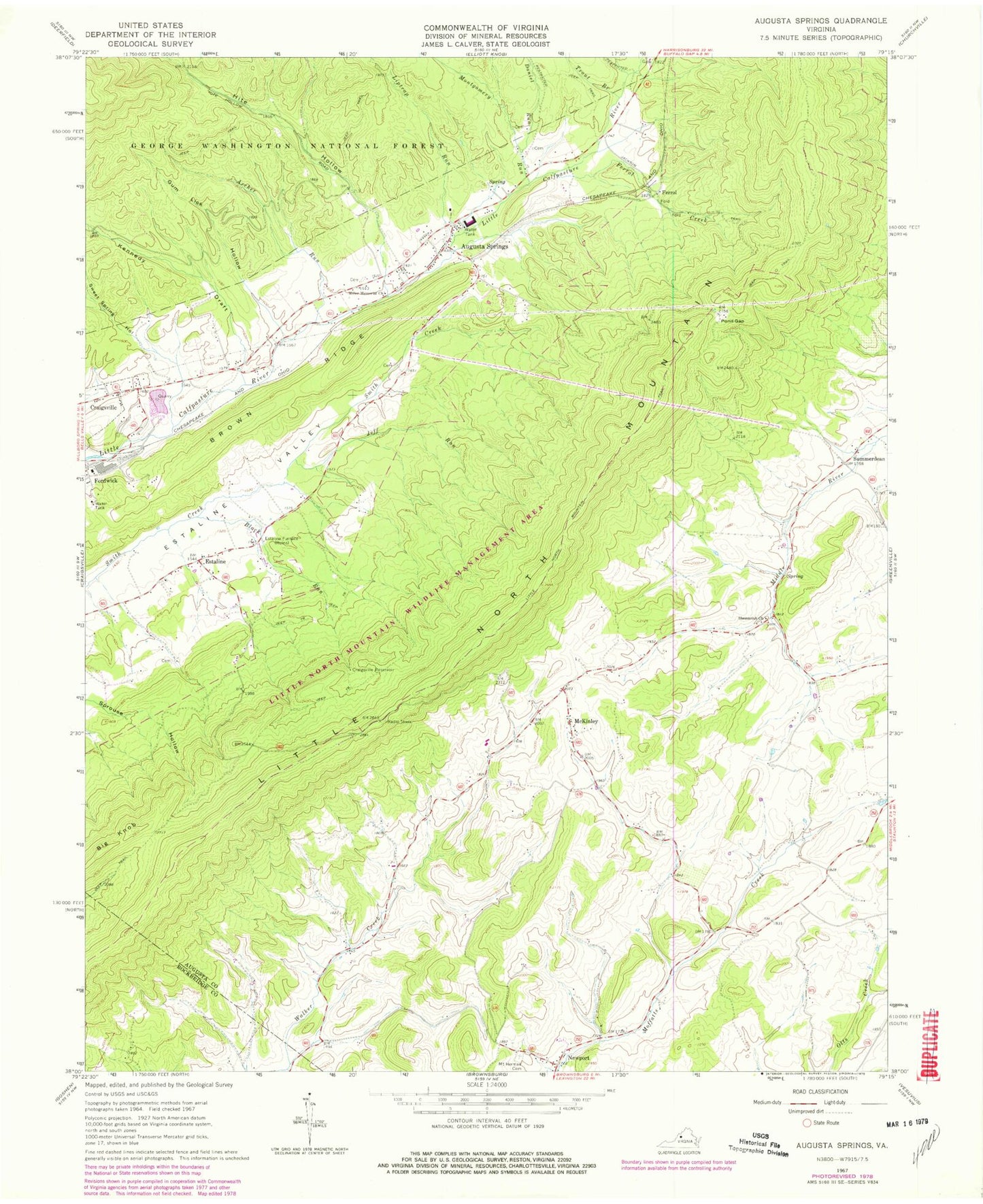
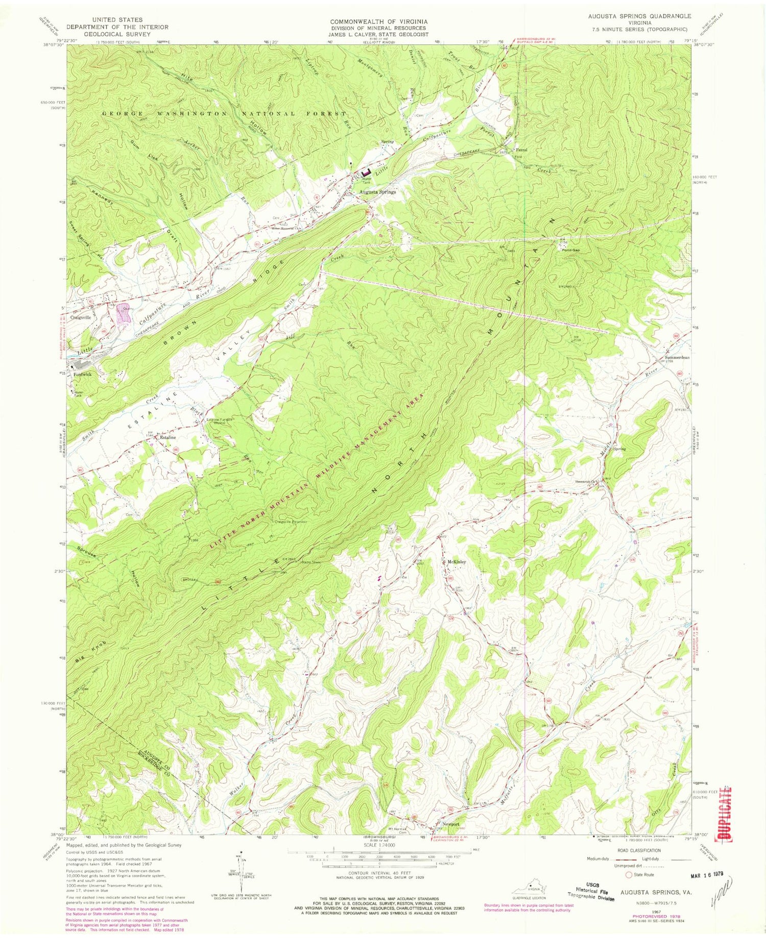
Classic USGS Augusta Springs Virginia 7.5'x7.5' Topo Map
Couldn't load pickup availability
Historical USGS topographic quad map of Augusta Springs in the state of Virginia. Typical map scale is 1:24,000, but may vary for certain years, if available. Print size: 24" x 27"
This quadrangle is in the following counties: Augusta, Rockbridge.
The map contains contour lines, roads, rivers, towns, and lakes. Printed on high-quality waterproof paper with UV fade-resistant inks, and shipped rolled.
Contains the following named places: Archer Run, Brown Ridge, Craigsville Reservoir, Daniel Run, Estaline Furnace, Gum Lick Hollow, Hite Hollow, Jeff Run, Kennedy Draft, Liptrap Run, Little North Mountain Wildlife Management Ar, Miller Memorial Church, Montgomery Run, Mount Hermon Lutheran Church Cemetery, Pond Gap, Little North Mountain, Shemariah Church, Sprouse Hollow, Summerdean, Sweet Spring Hollow, Trout Branch, Ferrol Creek, Augusta Springs YCC Camp, Augusta Springs, Big Knob, Estaline, Ferrol, McKinley, Newport, Fordwick, Moffett Creek Post Office (historical), Pond Gap (historical), Augusta Springs Census Designated Place, Augusta Correctional Center, Augusta Springs Post Office