MyTopo
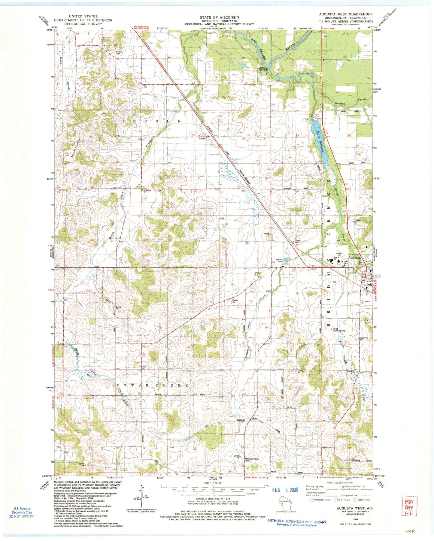
Classic USGS Augusta West Wisconsin 7.5'x7.5' Topo Map
Couldn't load pickup availability
Historical USGS topographic quad map of Augusta West in the state of Wisconsin. Map scale may vary for some years, but is generally around 1:24,000. Print size is approximately 24" x 27"
This quadrangle is in the following counties: Eau Claire.
The map contains contour lines, roads, rivers, towns, and lakes. Printed on high-quality waterproof paper with UV fade-resistant inks, and shipped rolled.
Contains the following named places: Augusta Elementary School, Augusta Fire Department, Augusta High School, Augusta Mennonite School, Augusta Middle School, Beargrass School, Bears Grass Dairy, Bills School, Bridge Creek, Browns Creek, Brune Farms, Buse Farms, Dells Lake Dam, Dells Millpond, First Trestle Creek, Gabler Farms, Grace Evangelical Lutheran Church, Grace Lutheran Church, Grandpa's Farm Airport, Harstad County Park, Lincoln Cemetery, Lincoln Valley School, Martinson Farms, Mayo Farms, Moldenhauer Hill, Osborn Farms, Plain View School, Rodell, Rugotzke Farm, Russell Corners School, Saint Anthonys Roman Catholic Church, Saint Peter Cemetery, Saint Peters Church, Scott Valley, Scott Valley School, Sieg Landing Strip, Skyglo Farms, Thompson Valley Cemetery, Thompson Valley Creek, Thompson Valley School, Town of Otter Creek, West Lawn Cemetery


