MyTopo
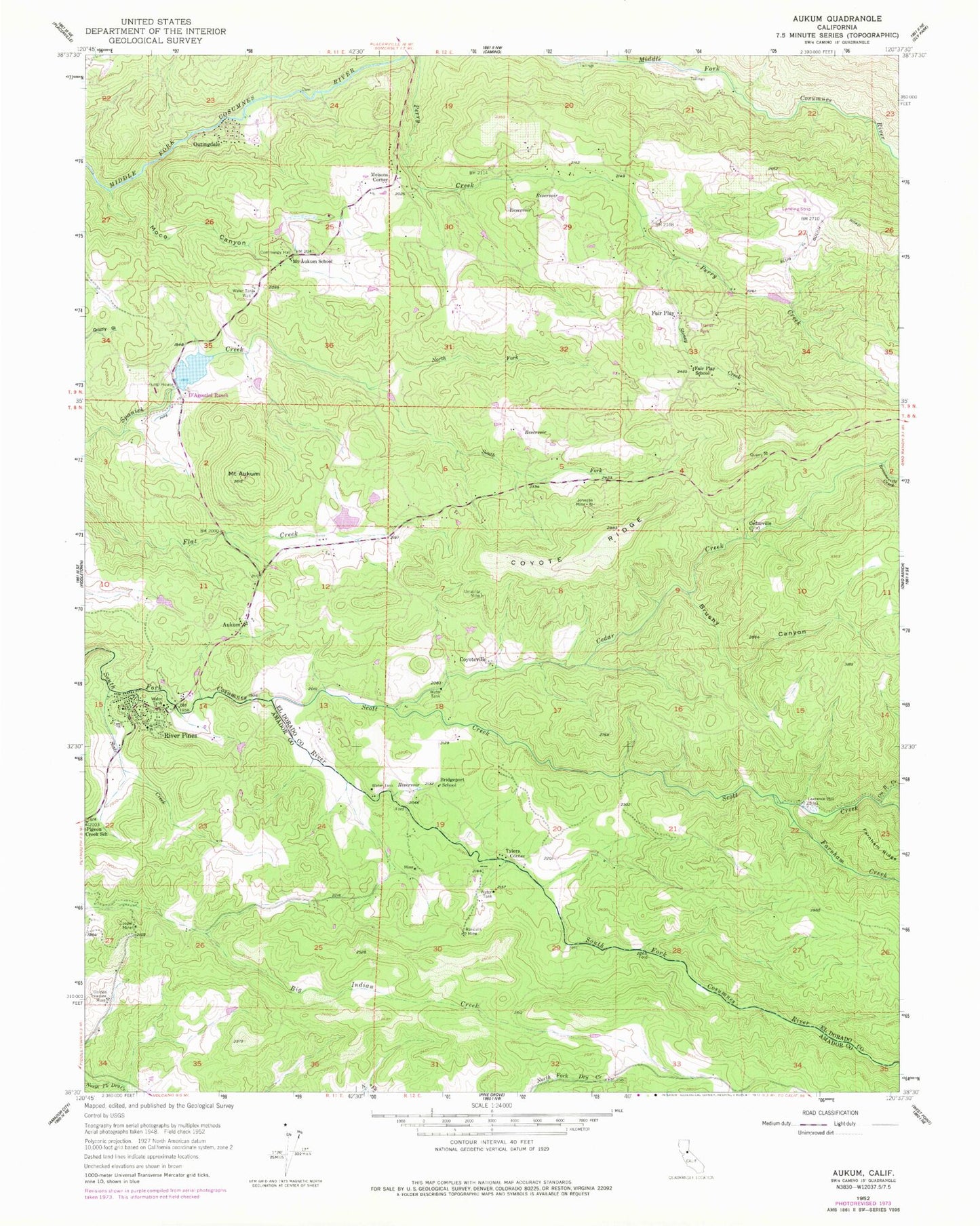
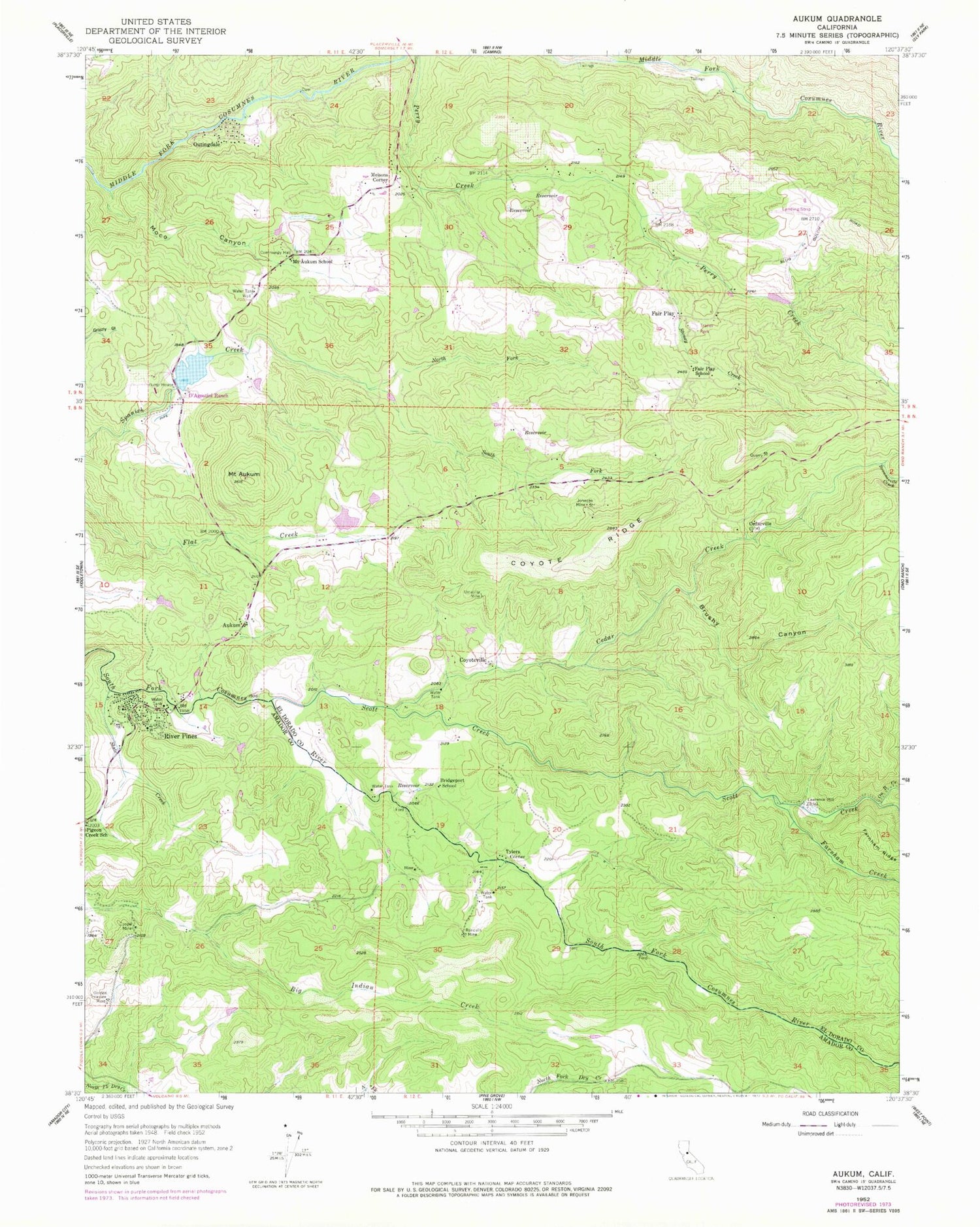
Classic USGS Aukum California 7.5'x7.5' Topo Map
Couldn't load pickup availability
Historical USGS topographic quad map of Aukum in the state of California. Typical map scale is 1:24,000, but may vary for certain years, if available. Print size: 24" x 27"
This quadrangle is in the following counties: Amador, El Dorado.
The map contains contour lines, roads, rivers, towns, and lakes. Printed on high-quality waterproof paper with UV fade-resistant inks, and shipped rolled.
Contains the following named places: Mount Aukum, Bridgeport School, Cedarville, Cooper Mine, Coyote Ridge, D'Agostini Ranch, Fair Play School, Golden Treasure Mine, Johnson Mine, Moco Canyon, Mount Aukum School, North Fork Spanish Creek, Randalls Mine, Slate Creek, Lawrence Mill, South Fork Spanish Creek, Stoney Creek, Umatilla Mine, Brownsville Creek, Brushy Canyon, Cedar Creek, Farnham Creek, On It Creek, Scott Creek, Aukum, Coyoteville, Fair Play, Melsons Corner, Outingdale, River Pines, Tylers Corner, D'Agostini 466 Dam, Aukum View 3461 Dam, Pine Lodge California Department of Forestry Station, River Pines Town Hall, Mount Aukum Post Office, Charles B Mitchell Vineyards, D'Agostini Reservoir, Fitzpatrick Winery, Granite Springs Winery and Vineyards, Latcham Vineyards, Oliver Vineyards, Perry Creek Vineyards, Perry Reservoir, Pioneer Elementary School, Seven Up Bar Guest Ranch, Windwalker Vineyard, River Pines Census Designated Place, Pioneer Fire Protection District Station 34 Mount Aukum, Pioneer Fire Protection District Station 38 Three Forks District Headquarters, California Department of Forestry and Fire Protection River Pines Fire Station


