MyTopo
Classic USGS Aurantia Florida 7.5'x7.5' Topo Map
Couldn't load pickup availability
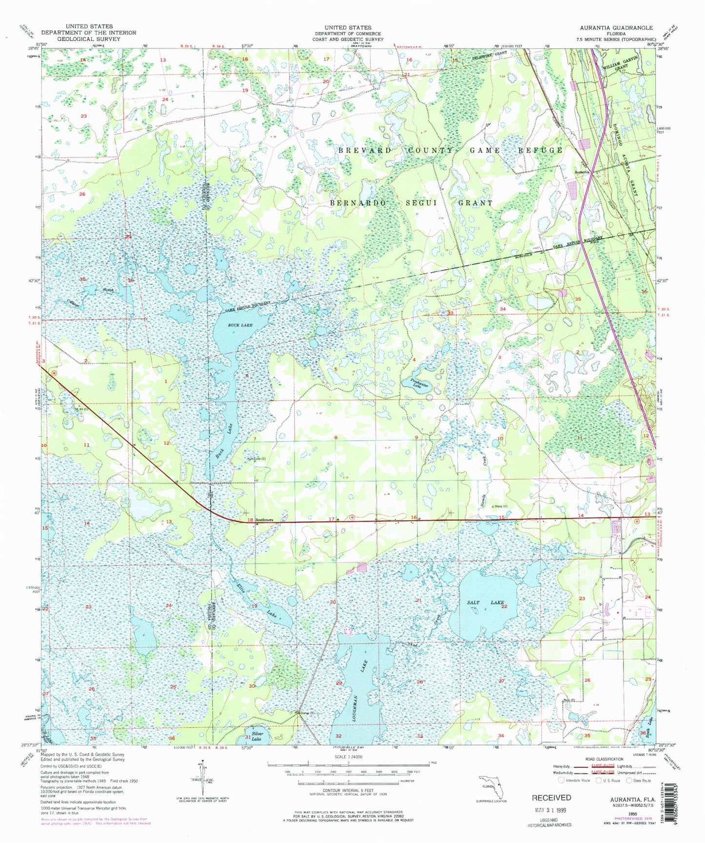
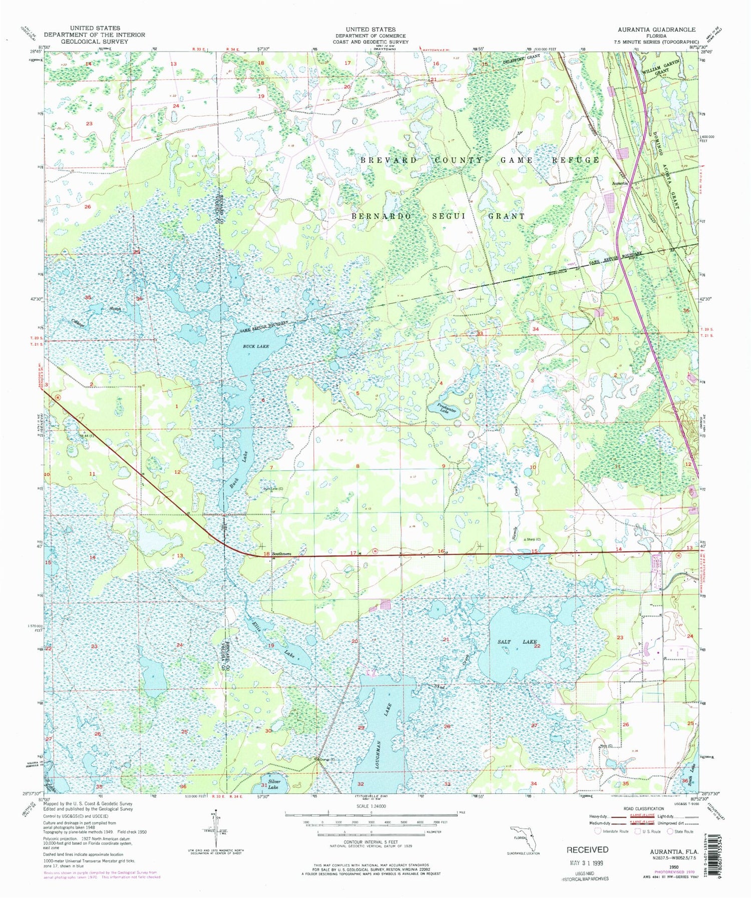
Historical USGS topographic quad map of Aurantia in the state of Florida. Map scale may vary for some years, but is generally around 1:24,000. Print size is approximately 24" x 27"
This quadrangle is in the following counties: Brevard, Seminole, Volusia.
The map contains contour lines, roads, rivers, towns, and lakes. Printed on high-quality waterproof paper with UV fade-resistant inks, and shipped rolled.
Contains the following named places: Aurantia, Aurantia Post Office, Bernardo Segui Grant, Brevard County Game Refuge, Buck Lake, Cabbage Slough, Ellis Lake, Freshwater Lake, Loughman Lake, Salt Lake, Sand Point Village Shopping Center, Shad Creek, Silver Lake, Sixmile Creek, Southmere, WAMT-AM (Titusville), WPGS-AM (Mims), ZIP Code: 32754