
MyTopo
Classic USGS Aurora Lake Wyoming 7.5'x7.5' Topo Map
Regular price
$16.95
Regular price
Sale price
$16.95
Unit price
per
Couldn't load pickup availability
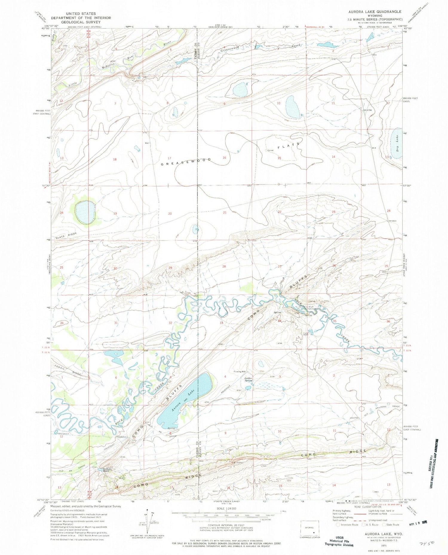
Historical USGS topographic quad map of Aurora Lake in the state of Wyoming. Map scale may vary for some years, but is generally around 1:24,000. Print size is approximately 24" x 27"
This quadrangle is in the following counties: Albany, Carbon.
The map contains contour lines, roads, rivers, towns, and lakes. Printed on high-quality waterproof paper with UV fade-resistant inks, and shipped rolled.
Contains the following named places: Ambler Spring, Aurora Lake, Beery Number 2 Dam, Beery Number 2 Reservoir, Beery Reservoir, Berry Dam, Carlin Ranch, Como Bluff Fish Hatchery, Como Bluffs, Como Bluffs Mine, Como Ridge, Greasewood Creek, Greasewood Flats, Robbers Roost


