MyTopo
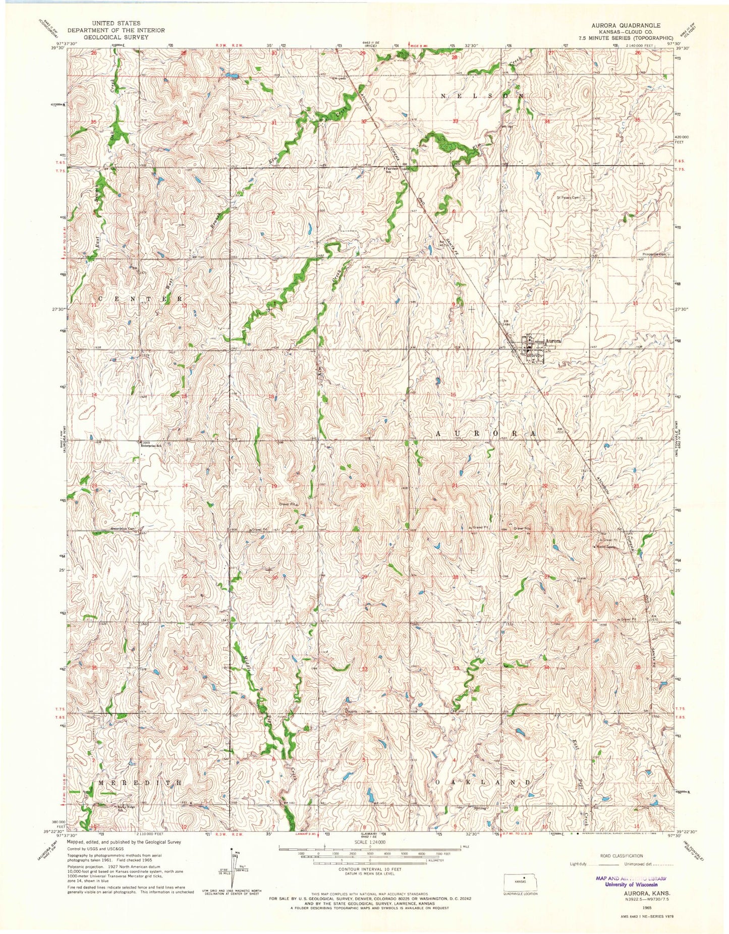
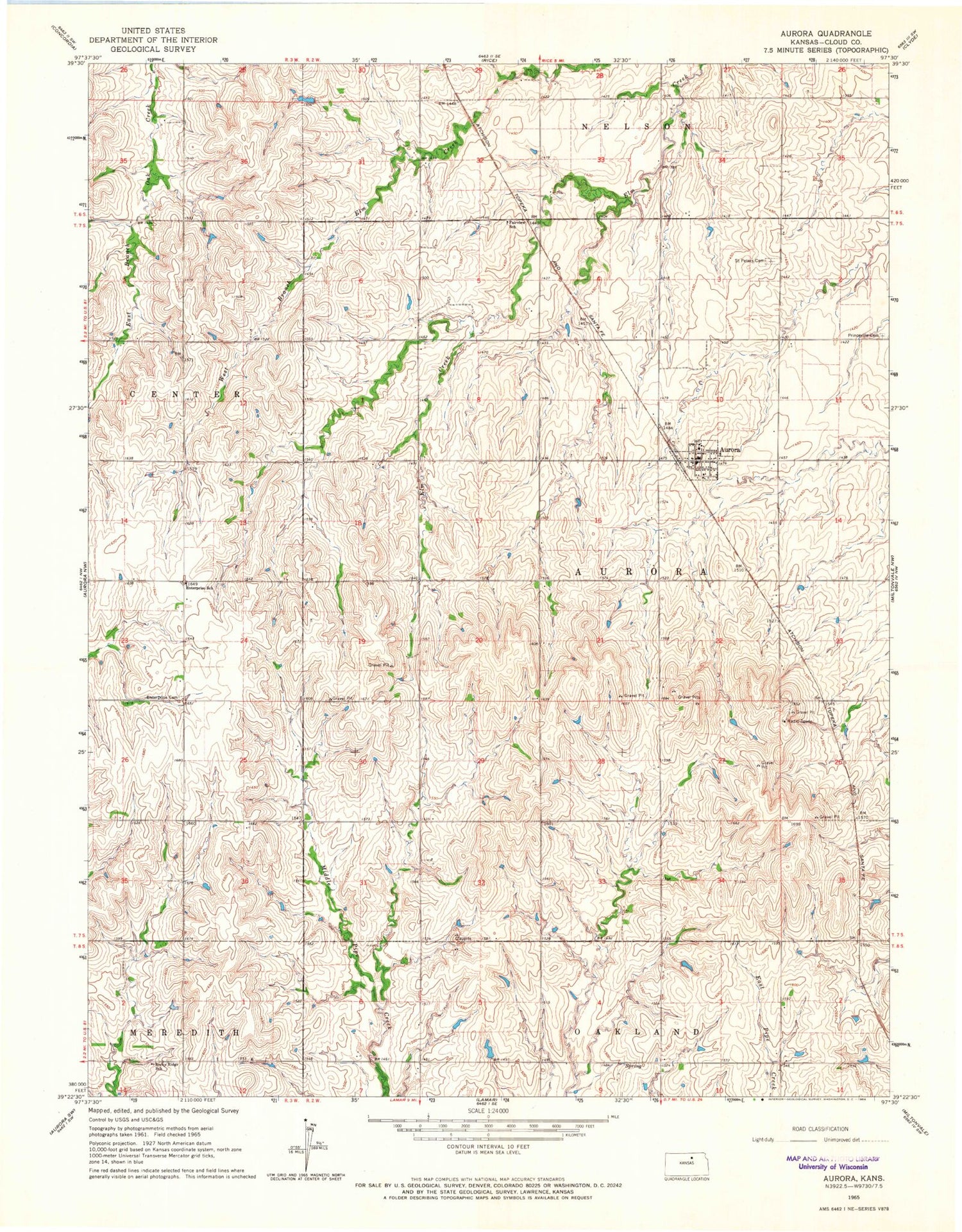
Classic USGS Aurora Kansas 7.5'x7.5' Topo Map
Couldn't load pickup availability
Historical USGS topographic quad map of Aurora in the state of Kansas. Map scale may vary for some years, but is generally around 1:24,000. Print size is approximately 24" x 27"
This quadrangle is in the following counties: Cloud.
The map contains contour lines, roads, rivers, towns, and lakes. Printed on high-quality waterproof paper with UV fade-resistant inks, and shipped rolled.
Contains the following named places: Aurora, Aurora Fire Department, Aurora Fire Station, Aurora Grain Company Grain Elevator Number 1, Aurora Post Office, Aurora Wastewater Treatment Facility, City of Aurora, Enterprise Cemetery, Enterprise School, Fairview Elementary School, Princeville Cemetery, Rocky Ridge School, Saint Peters Cemetery, Township of Aurora, ZIP Code: 67417