MyTopo
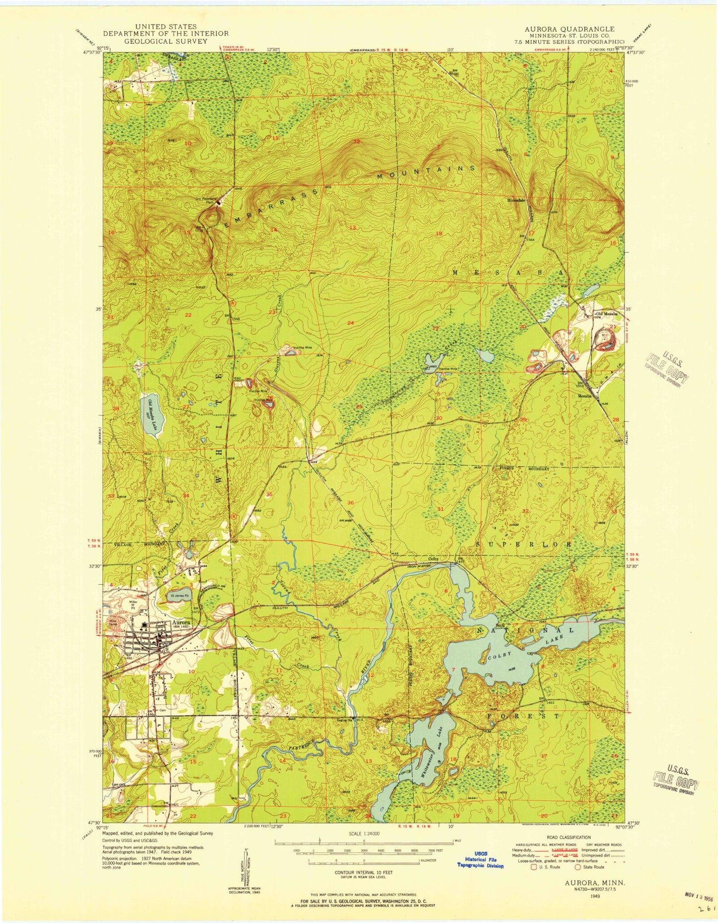
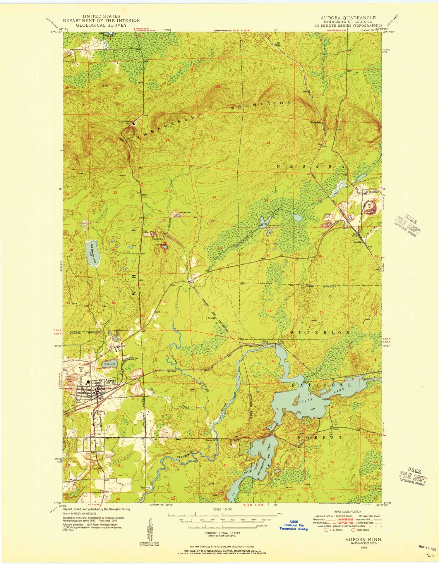
Classic USGS Aurora Minnesota 7.5'x7.5' Topo Map
Couldn't load pickup availability
Historical USGS topographic quad map of Aurora in the state of Minnesota. Map scale may vary for some years, but is generally around 1:24,000. Print size is approximately 24" x 27"
This quadrangle is in the following counties: St. Louis.
The map contains contour lines, roads, rivers, towns, and lakes. Printed on high-quality waterproof paper with UV fade-resistant inks, and shipped rolled.
Contains the following named places: Assembly of God Church, Aurora, Aurora Fire Department, Aurora Police Department, Aurora Post Office, Aurora Public Library, Aurora-Hoyt Senior High School, Boase Gertrude Elementary School, City of Aurora, Colby, Colby Lake, Czechoslovakian National Cemetery, Donora Settling Basin, Donora Settling Dike, Duluth Clinic-Aurora, East Stephens Settling Basin, East Stephens Settling Dike, Embarrass Mountains, Erie Basin One, Erie Basin One Dike, Erie Basin Two, Erie Basin Two Dike, Erie Mine Number One Pit, Essentia Health Northern Pines Hospital, Faith Lutheran Church, First Baptist Church, First Creek, Fishermans Point Picnic Area, Forest Hill Cemetery, Grace and Truth Bible Church, Hinsdale, Hinsdale Post Office, Hinsdale Station, Holy Rosary Church, Hoyt Lakes, Hoyt Lakes City Hall, Hoyt Lakes Fire Department, Hoyt Lakes Police Department, Hoyt Lakes Post Office, Hoyt Lakes Public Library, Jehovahs Witnesses, Keefe School, Knox Mine, Kumpula Point, Little Lake, Little Mesaba Lake, Mesaba, Mesaba Post Office, Mesaba Station, Old Mesaba, Our Saviours Lutheran Church, Queen of Peace Church, Redeemer Lutheran Church, Saint James Mine, Saint Louis County Sheriff's Office Aurora, Second Creek, Smolich Island, Stephens Creek, Stephens Mine, Taconite Processing Plant, Township of White, Trinity United Methodist Church, United Methodist Church, Wentworth Mine, West Stephens Settling Basin, West Stephens Settling Dike, WEVE-FM (Eveleth), White Township Police Department - Aurora, White Water Reservoir, White Water Reservoir Dam, Whitewater Lake


