MyTopo
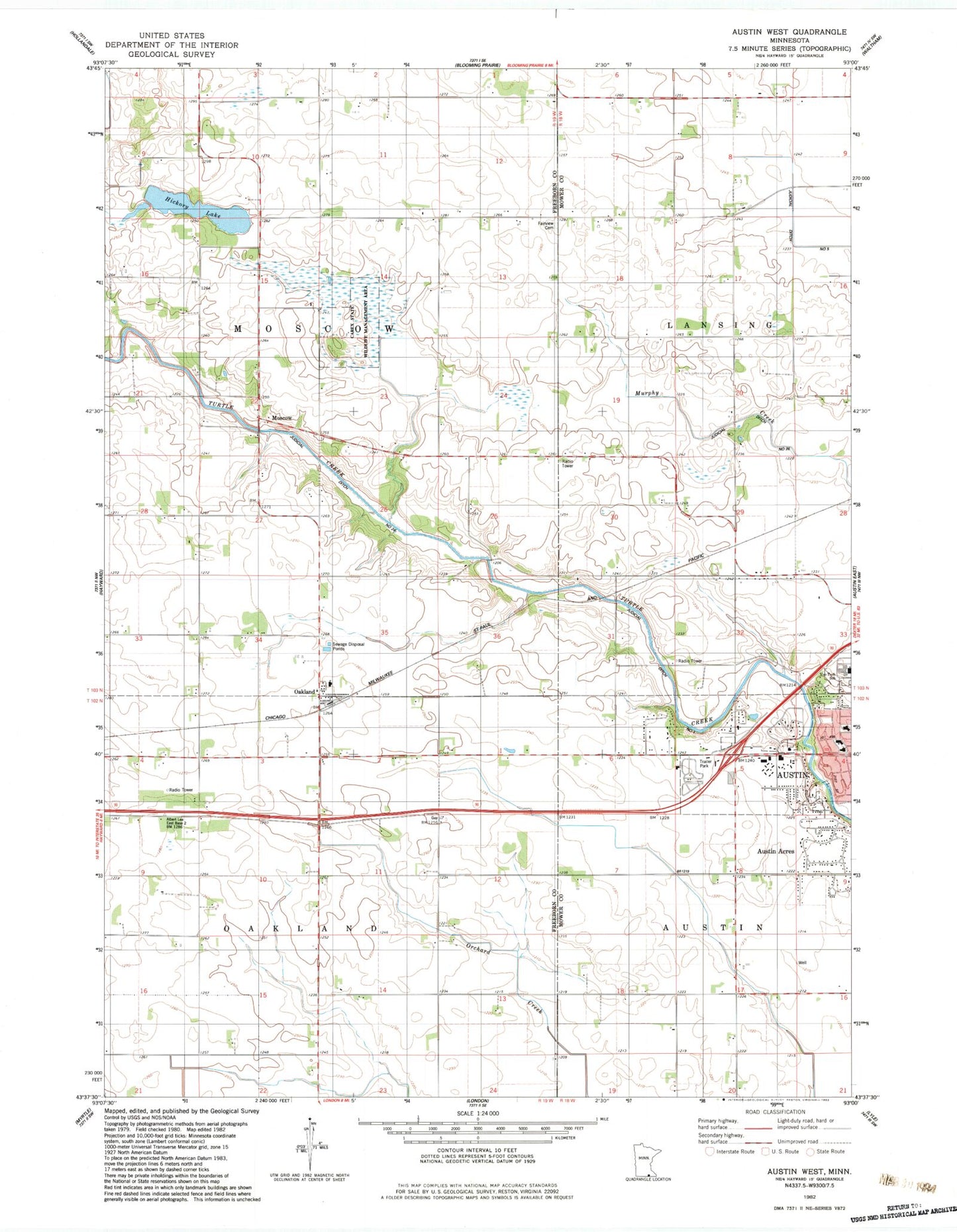
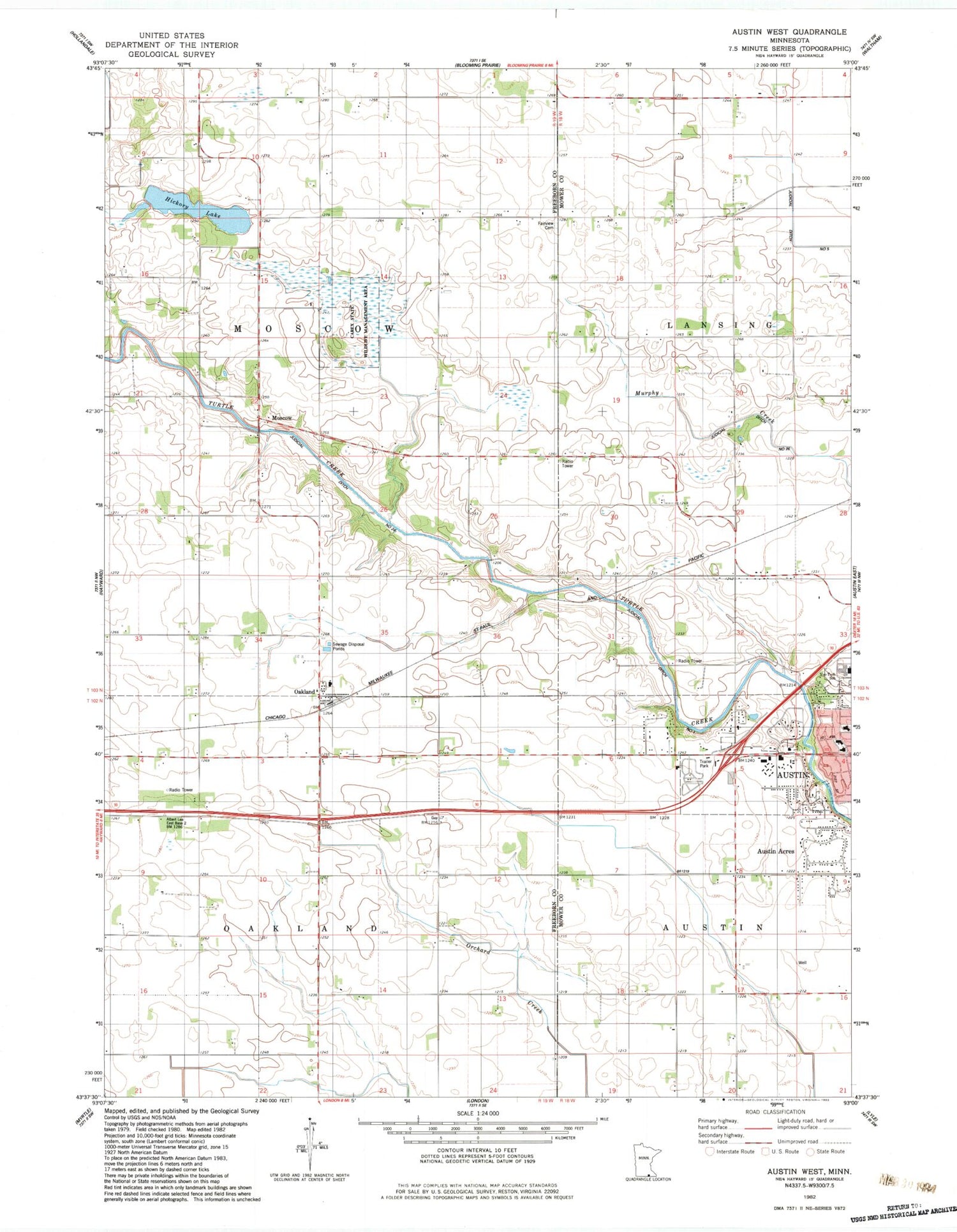
Classic USGS Austin West Minnesota 7.5'x7.5' Topo Map
Couldn't load pickup availability
Historical USGS topographic quad map of Austin West in the state of Minnesota. Map scale may vary for some years, but is generally around 1:24,000. Print size is approximately 24" x 27"
This quadrangle is in the following counties: Freeborn, Mower.
The map contains contour lines, roads, rivers, towns, and lakes. Printed on high-quality waterproof paper with UV fade-resistant inks, and shipped rolled.
Contains the following named places: Austin Acres, Carey State Wildlife Management Area, Everyone's Country Estate Historical Marker, Fairview Cemetery, First Congressional Church - United Church of Christ, Hickory Lake, Johnson Pool, Johnson Pool Dam, Judicial Ditch Number One, Judicial Ditch Number Twentysix, KAVT-FM (Austin), KSMQ-TV (Austin), Lugg School, Moscow, Moscow Post Office, Moscow State Game Refuge, Moscow Town Hall, Mower County Waterfowl Production Area, Oak Grove School, Oakland, Oakland City Townhall, Oakland Post Office, Oakland Woods West Bound Rest Area, Old Red Oak Grove Cemetery, O'Leary School, Peerless School, Pleasant View School, Riverland Community College, Saint Edwards Church, Shirley Theel Memorial Park, Taylor School, The Church of Jesus Christ of Latter Day Saints, Torrens School, Township of Moscow, Township of Oakland, Woodland School


