MyTopo
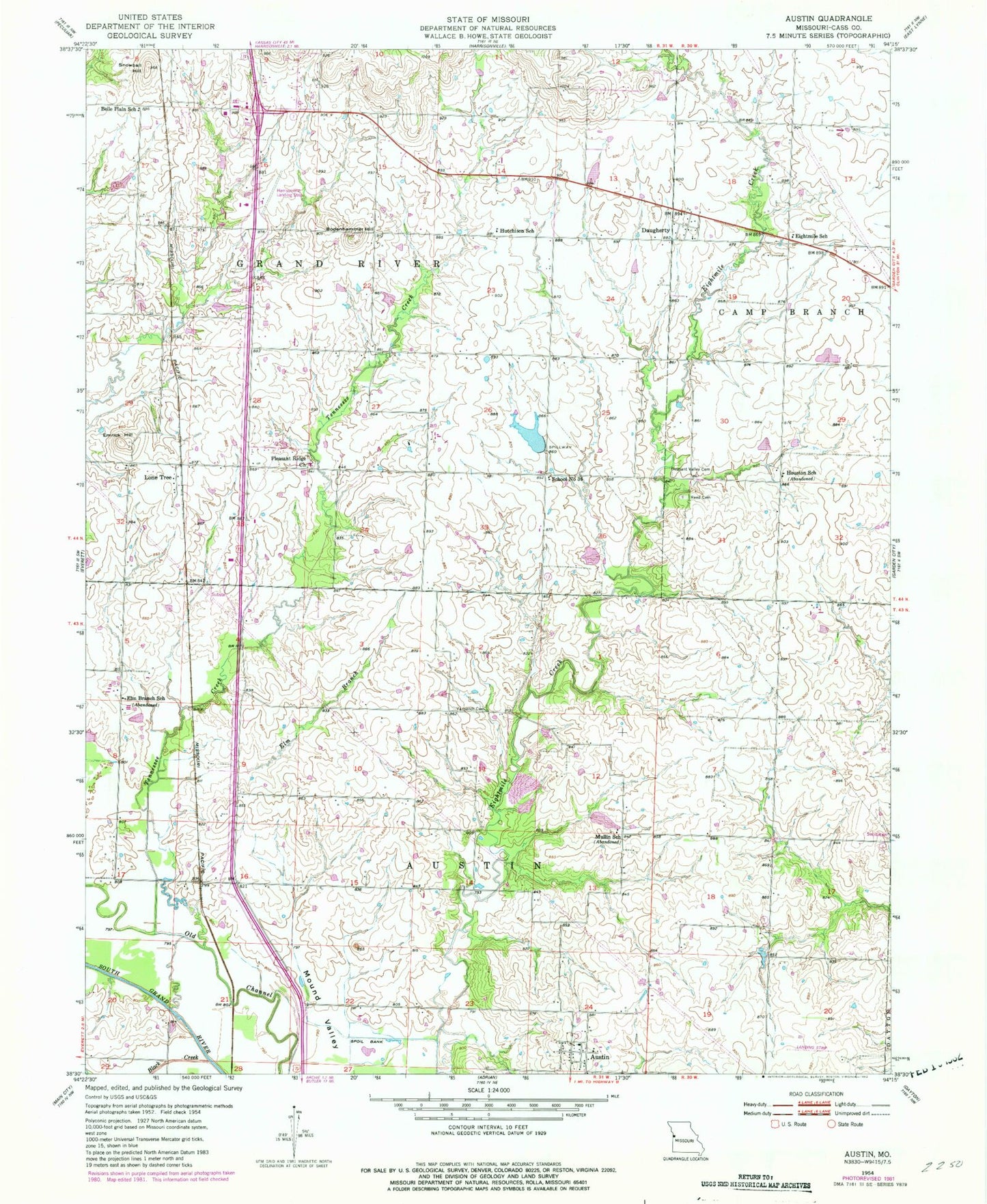
Classic USGS Austin Missouri 7.5'x7.5' Topo Map
Couldn't load pickup availability
Historical USGS topographic quad map of Austin in the state of Missouri. Map scale may vary for some years, but is generally around 1:24,000. Print size is approximately 24" x 27"
This quadrangle is in the following counties: Cass.
The map contains contour lines, roads, rivers, towns, and lakes. Printed on high-quality waterproof paper with UV fade-resistant inks, and shipped rolled.
Contains the following named places: Austin, Austin School, Belle Plain School, Black Creek, Bodenhammer Hill, Cook Lake Dam, Daugherty, Eightmile School, Elm Branch, Elm Branch School, Emrick Hill, Harrisonville South Wastewater Treatment Plant, Hartzler Lake, Hartzler Lake Dam, Houston School, Hutchison School, J A Tobin Construction Company Dam, J A Tobin Construction Company Lake, Kurzweil Lake, Kurzweil Lake Dam, Lawrence Smith Memorial Airport, Lone Tree, Lone Tree School, Mound Valley, Mullin School, Pleasant Ridge Church, Pleasant Ridge School, Pleasant Valley Cemetery, Reed Cemetery, Rural Home, School Number 36, Snowball Hill, Tennessee Creek, Township of Austin, Township of Grand River, Union Hall School, Vansandt Cemetery, ZIP Code: 64701


