MyTopo
Classic USGS Austwell Texas 7.5'x7.5' Topo Map
Couldn't load pickup availability
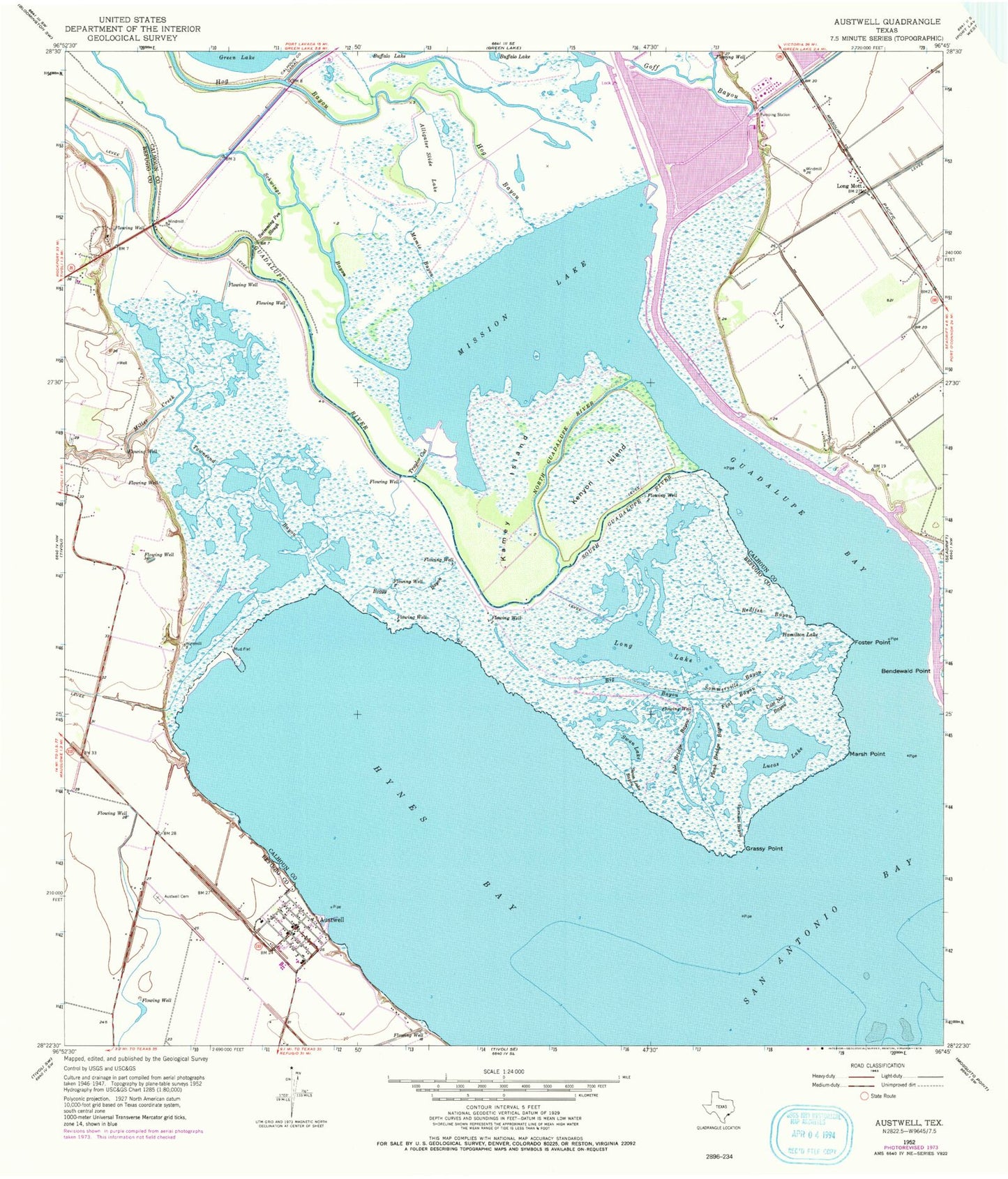
Historical USGS topographic quad map of Austwell in the state of Texas. Map scale may vary for some years, but is generally around 1:24,000. Print size is approximately 24" x 27"
This quadrangle is in the following counties: Calhoun, Refugio.
The map contains contour lines, roads, rivers, towns, and lakes. Printed on high-quality waterproof paper with UV fade-resistant inks, and shipped rolled.
Contains the following named places: Alligator Slide Lake, Austwell, Austwell Cemetery, Austwell City Hall, Austwell Post Office, Austwell Volunteer Fire Department, Bendewald Point, Big Bayou, Boggy Bayou, Cast Net Bayou, City of Austwell, Flat Bayou, Foster Point, Grassy Point, Guadalupe Bay, Guadalupe Delta Wildlife Management Area, Guadalupe River, Gulf Coast Airport, Hamilton Lake, Hog Bayou, Hynes Bay, Kamey Island, Kenyon Island, Long Lake, Long Mott, Lucas Lake, Mamie Bayou, Marsh Point, Miller Creek, Mission Lake, North Guadalupe River, Operating Basin Number 1 Levee, Plank Bridge Bayou, Pole Bridge Bayou, Redfish Bayou, Schwings Bayou, Sommerville Bayou, South Guadalupe River, Storm Harbor, Swan Lake, Swan Lake Bayou, Swimming Pen Slough, Taylor Cut, Townsend Bayou, Varnum Bayou, Whatley Flying Service


